
ENSO situation summary
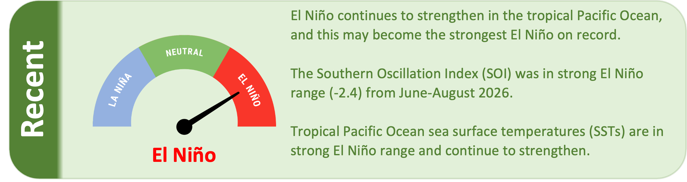
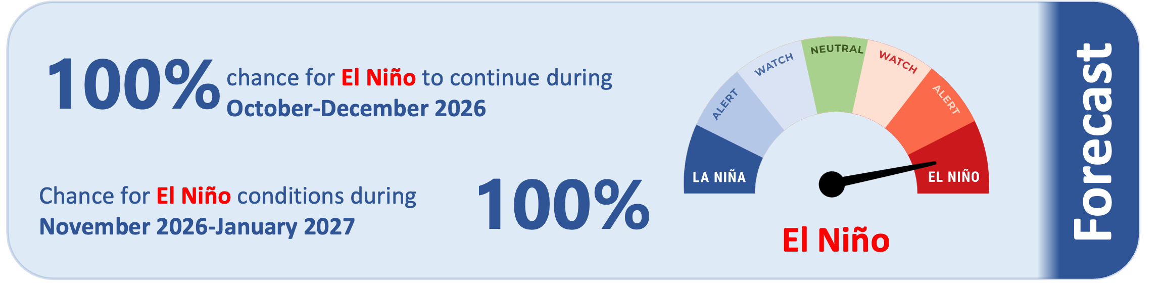
The current strong El Niño continues to strengthen in the tropical Pacific Ocean. There is a 100% chance that El Niño will continue during October-December, and a 100% chance that El Niño will continue through early 2027. This El Niño may become the strongest El Niño on record.
As of 14 September 2026, the 30-day NINO3.4 Index (in the central equatorial Pacific) was 2.74˚C, in strong El Niño range. The 30-day relative Niño 3.4 Index (RONI) was 1.95˚C, on the cusp of strong El Niño range and reflective of the central equatorial Pacific being warmer than the average of the global tropics.
The Southern Oscillation Index (SOI) was in strong El Niño range during June-August 2026 (-2.4), while the August value was -1.2.
Subsurface ocean temperatures in the equatorial Pacific continue to be well above average in the eastern part of the basin, and upper-ocean heat content anomalies are well above average in the tropical eastern Pacific.
Extremely warm water is located in the eastern equatorial Pacific from the surface to depths of about 150 metres, where temperature anomalies of 6-8°C are widespread, and reach 9°C in some places. This indicates that a strong El Niño is now occurring, and further strengthening to record levels is possible in the coming months.
During October-December, model guidance favours above normal or well above normal rainfall for many island groups along the equator. This may result in enhanced rainfall for island groups such as Naoero, Kiribati, Tuvalu, Tokelau, the northern Cook Islands, and the Marquesas.
Conversely, much drier than normal conditions are likely to occur for many island groups in the Pacific, including most of Micronesia and those along a line from Papua New Guinea east to the Pitcairn Islands. Most of these island groups will also have a high chance to be extremely dry during October-December (i.e. seasonal rainfall is expected to be below the 25th percentile). See pages 6-7 for more information.