-
Sensors, science and sea change: tackling ocean acidification together
News article01 November 2025Experts met at Solomon Islands National University to learn hands-on monitoring techniques for ocean acidification. -
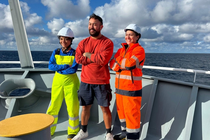
Reflections on the 2025 Floating University
Publication article24 October 2025Pacific early career marine scientists take part in a voyage of shared learning -

Pacific Partnership in Action at Reception with Solomon Islands Prime Minister
Publication article24 October 2025Collaboration across Pacific Natural Hazards -

Floating University
A platform for early-career scientists from Pacific island nations to explore the key issues affecting their communities -
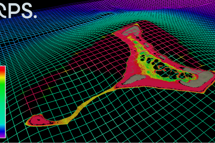
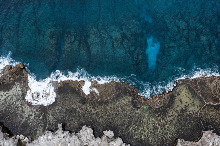
Tropical seafloor secrets revealed
Media release25 February 2022NIWA scientists and Toitū Te Whenua Land Information New Zealand (LINZ) have used satellite technology to chart the Cook Islands’ seafloor in never-before-seen detail. The work was done as part of Seabed 2030 - a collaborative project to produce a definitive map of the world ocean floor by 2030. -
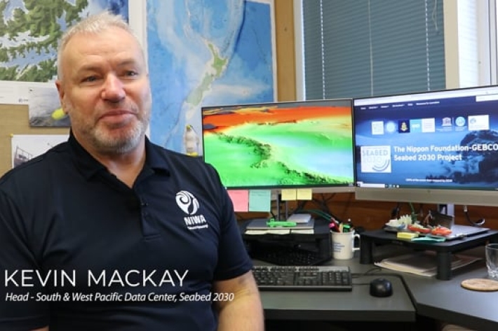
Seabed 2030
Did you know NIWA is leading a NZ partnership in a worldwide initiative to map the entire globe’s seafloor? Found out more about the Seabed 2030 initiative.