
-

Generating synthetic wind data
Research ProjectNIWA has recently created synthetic, multi-year, 10-minute wind datasets at 15 wind farm sites across New Zealand. These will be used by the Electricity Commission to model the impact of wind farms on the national grid. -
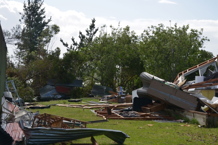
Extreme weather - winds and tornadoes
Education ResourceDue to its position in the 'Roaring Forties', a belt of strong winds in the Southern Hemisphere which generally occur between the latitudes of 40 and 49 degrees, as well as its small size, New Zealand is a windy country. -
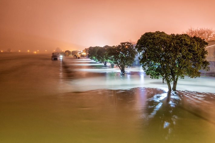
Understanding and predicting floods and their impacts
Feature story06 June 2017Floods are not unusual in New Zealand, but those that hit us early this winter broke records. Why did they occur? Should we expect more? Can we predict future floods? -
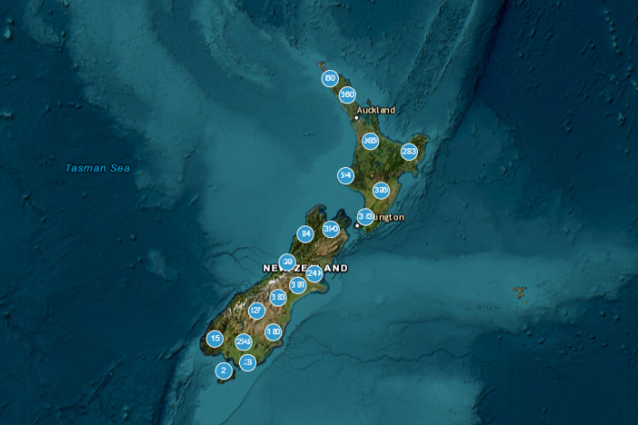
HIRDSv4 Usage
ESNZ's High Intensity Rainfall Design System (HIRDS) offers planners and engineers more certainty about the frequency of high-intensity rainfall events, enabling them to better design stormwater drainage, flood defence systems and other vital structures. -
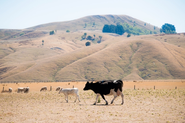
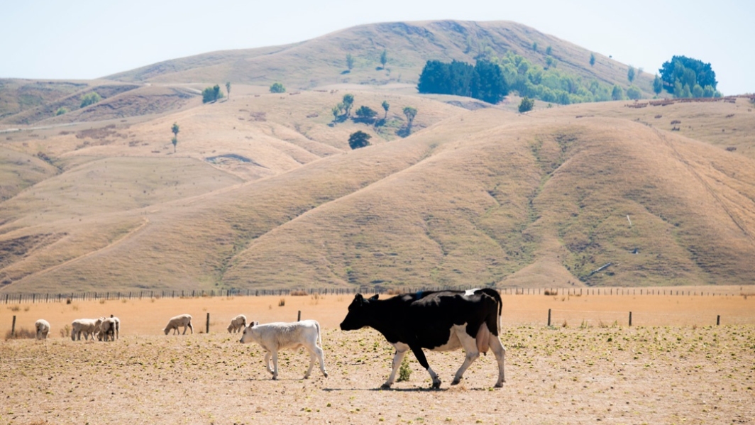
Drought
Education ResourceDefining drought and identifying its causes and impacts on humans. -
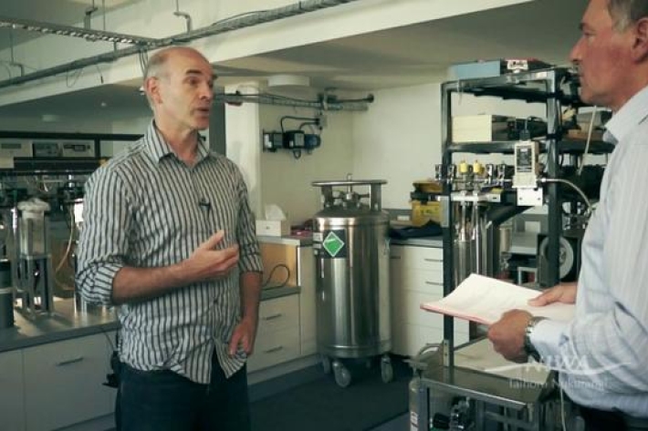
What is Ocean acidification?
NIWA oceanographer Dr Cliff Law explains the impacts of ocean acidification on organisms that use carbonates to build their shells, and on bacteria. -
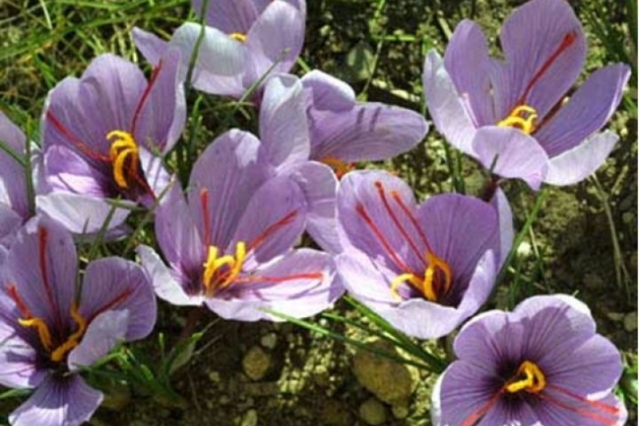
Assessment of crop and tree species growing potential using climate, soil and topographic information
Research ProjectThis project demonstrates how to assess high value alternative land-use options by means of a quantitative analysis of the growing potential of selected niche crops and tree species. -

Wave hazard research
Research ProjectNIWA collects wave data, develops and verifies wave forecasting systems, and is developing and producing wave projections. -

Definitions of drought
There are several definitions of drought, depending upon whether it is viewed as a hazard or a risk.
