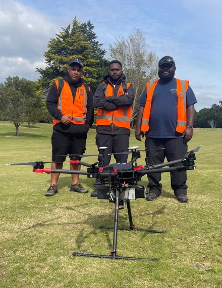
In March and April 2026, three professionals from Vanuatu and Kiribati took part in an applied drone training programme in Aotearoa, New Zealand.
The three week training was designed to strengthen practical skills for hazard monitoring, environmental management, and geospatial surveying across the Pacific.
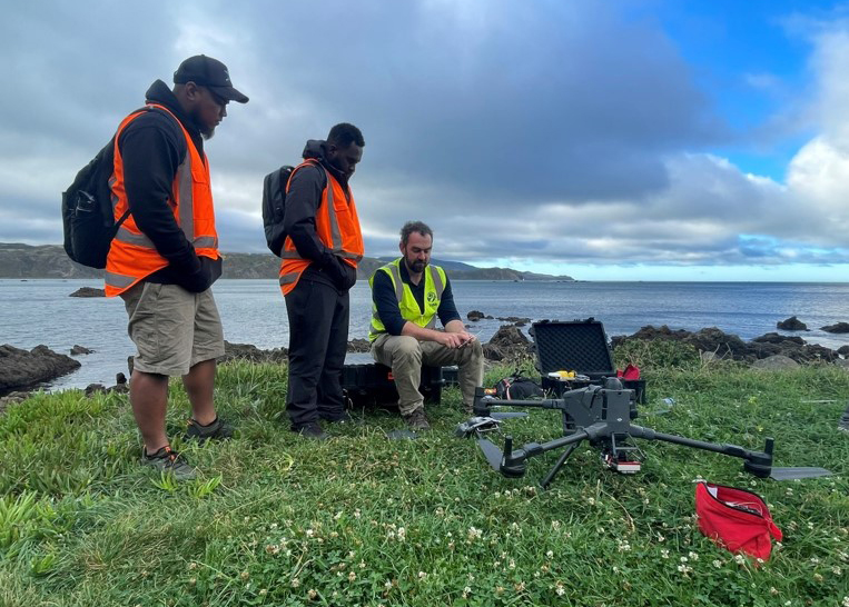
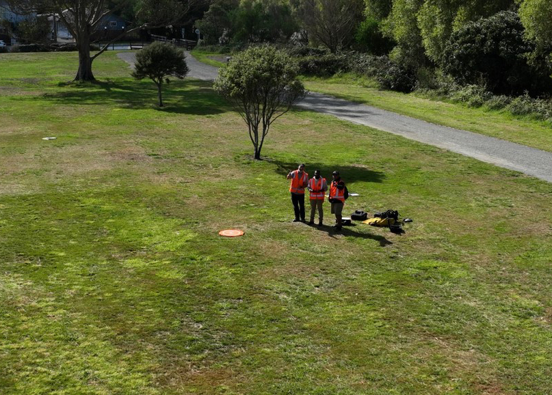
Delivered across ESNZ’s Lower Hutt and Wairakei sites, the programme combined classroom learning, field exercises, and one-on-one mentoring in drone operations, photogrammetry, LiDAR, GIS, coastal and biodiversity mapping, and volcanic and landslide applications.
A defining feature of the project was its strong focus on Pacific collaboration and long-term capacity building. Training was shaped around the scholars’ own work contexts, with sessions tailored to real-world sites and challenges in Vanuatu and Kiribati. Beyond the formal course, ESNZ staff continued to provide follow-up advice and connections to regional professionals, helping participants translate new skills into local practice.
By equipping participants with tools and confidence to apply drone technology in their home countries, the project has helped build enduring foundations for shared learning and stronger geohazard and environmental monitoring across the region.