Volcanoes are a part of life across the Pacific, and when eruptions occur, volcanic ash can pose serious risks to aviation, water supplies, health and communities.
In April, scientists and technical specialists from across the region came together in Wellington to strengthen how volcanic ash events are monitored, understood and communicated.
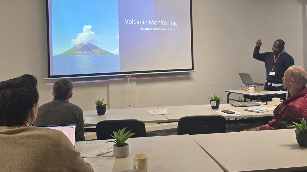
The three-day workshop (21–23 April) brought together participants from Solomon Islands Geological Services Division, Vanuatu Meteorology and Geohazards Department, Tonga Geological Services, New Zealand MetService, the Australian Bureau of Meteorology, Geoscience Australia and Earth Sciences NZ.
The focus was practical: sharing how countries currently monitor eruptions, what information is most useful during an event, and where improvements are needed.
The workshop was facilitated by ESNZ scientists Victoria Miller and Paul Jarvis and explored how key eruption details, such as how high ash plumes rise and how strong on eruption is, can be estimated more quickly and consistently. These parameters are a key input to ash dispersion forecasts that help aviation authorities and emergency managers make timely decisions.
Importantly, discussions were grounded in regional experience. Participants shared challenges they face during eruptions, including limited observations, time pressure, and the need for clear, trusted information. Together, the group identified priorities for future tools and training that better reflect Pacific operational realities.
Improving how this information is shared helps Pacific aviation and emergency agencies respond more quickly during eruptions. The outcomes of the workshop will help guide the next phase of ESNZ’s work on volcanic ash forecasting, ensuring new approaches are shaped by regional needs and support safer, more coordinated responses when eruptions occur.