
-

Tornadoes - how frequently do they hit New Zealand?
News article06 June 2017Tornadoes, like the one that hit Auckland's western suburbs today, are relatively rare events in New Zealand. -
Climate and weather
Information about climate and weather and links to climate-related websites. -
Climate summaries
Education ResourceIn this climate education resource, you can download this climate summary in a range of formats. -

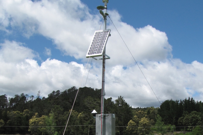
Environmental monitoring
NIWA collects a vast range of environmental information about New Zealand’s environment from the sky to the seafloor. -
Map Sw North
Education ResourceBecause of its exposure to disturbed weather systems from the Tasman Sea, this climate zone is often quite windy, but has few climate extremes. -
NZ Drought indicator products and information
Drought is a common feature of New Zealand's climate. On average, every year or two somewhere in New Zealand experiences a drought. -
Common climate and weather terms
Education ResourceConfused about El Niño, or can't tell the difference between an Anticyclone and an Isobar? Let us help. -
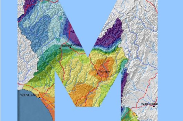
Manawatu-Wanganui
The climate of the Manawatu-Wanganui region is a reflection of the generally disturbed westerly air flow with interspersed anticyclones, modified in specific places by the local topography. -
Clouds
Education ResourceCommon questions about clouds, how they are formed and how they behave. -
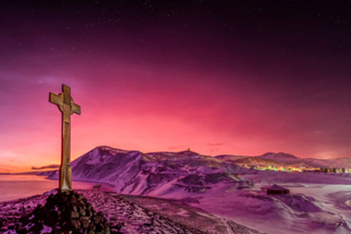
Tonga volcano “afterglow” causes dazzling skies in Antarctica
Media release06 June 2017Antarctica is experiencing stunning skyscapes like those recently seen in New Zealand, thanks to the afterglow effect from the Tongan volcano. -
What is the chance of a warm summer in Invercargill?
In this activity you will analyse the Southern Oscillation Index and investigate the chances of getting below normal, normal or above normal summer temperatures in Invercargill.