
-

Map North
Education ResourceThis is a sub-tropical climate zone, with warm humid summers and mild winters. -

Lesson 2: Wind
Education ResourceSometimes wind can feel like a bit of a mystery because we can feel it, but not see it. -
Climate mapping
Read about how NIWA can map any aspect of climate to help guide your organisation's response to a changing and variable climate. -
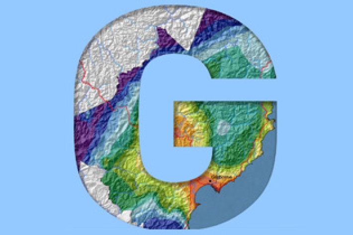
Gisborne
In comparison with regions exposed to the west, Gisborne experiences a greater number of weather and climatic extremes. -
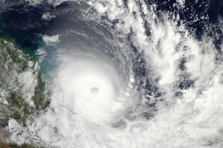
Southwest Pacific Tropical Cyclone Outlook
Publication seriesA summary of up-coming tropical cyclone seasons, issued 6-monthly. -
Using trigonometric functions to model climate
Education ResourceYour task is to create a model of the data to predict the times during the year that a location would be pleasant to visit -
Map Scott
Education ResourceScott Base, Antarctica Antarctica is the coldest, windiest and driest continent. -
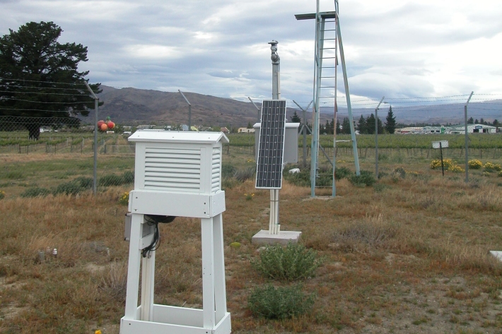
Other Climate data products
Short-term to long-term data estimation -
NZ temperature record
Research ProjectThere are many lines of evidence showing that NZ has warmed during the past century. -
Investigating ocean acidification
Feature story06 June 2017The world’s oceans are acidifying as a result of the carbon dioxide (CO2) generated by humanity.