
-

Map I South
Education ResourceThe climate of this zone is largely dependent on the lie of the Southern Alps to the west, but many areas are also sheltered by high country to the south and east. -
Farming and the primary sector
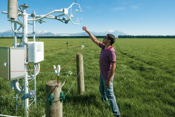
Farmers are making business decisions everyday which are influenced by environmental factors. We can help farmers to improve decision-making, mitigate farm environment risk, and to become more productive, efficient, competitive and sustainable. -
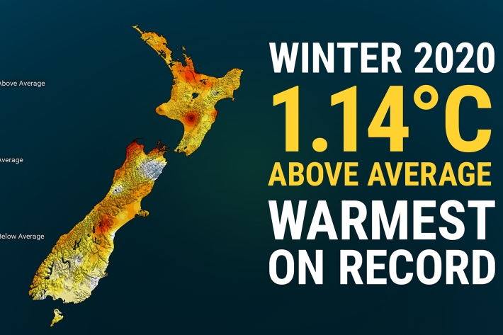
Winter 2020 – NZ’s warmest winter on record
Media release06 June 2017New Zealand has just experienced its warmest winter on record, according to official NIWA climate data. -
The Intergovernmental Panel on Climate Change (IPCC)
Education ResourceThe Intergovernmental Panel on Climate Change (IPCC) is charged with assessing the most up to date scientific, technical and socio-economic research on climate change. -
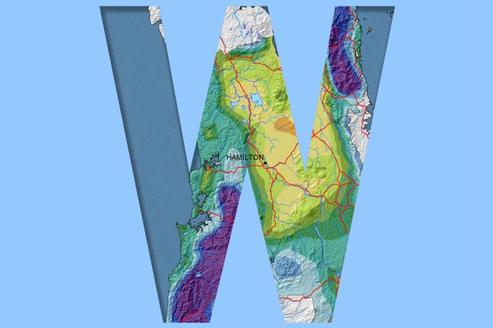
Waikato
Waikato exhibits a range of climates due to the variety of landscapes in the region. -
UVI forecast for Specific Sites
Check out UV index forecasts for locations in New Zealand (including ski fields), Australia, the Pacific and Antarctica. -
Map N South
Education ResourceAs much of this climate zone is sheltered by high country to the west, south and in some areas to the east, it is the sunniest region of New Zealand. -

Climate change scenarios for New Zealand
Research ProjectProjections of how climate change is likely to affect New Zealand. -
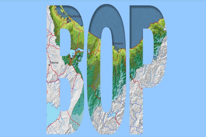
Bay of Plenty
The topography of the North Island has a profound effect on the weather of the Bay of Plenty region. -
Mean daily minimum temperatures (°C)
These datasets are available in a range of formats.