-

Tuna - glass eels
Glass eels (about 5.5 to 7.0 cm) arrive in fresh water during spring, especially during September and October, although they may be present from July to December. -
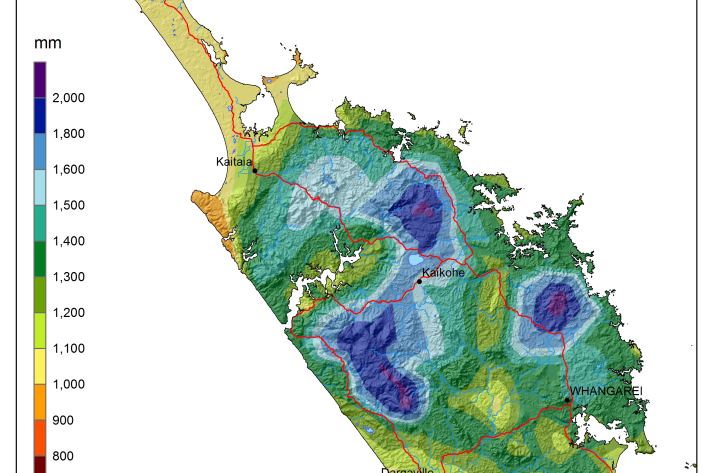
National and regional climate maps
Research ProjectMaps of average annual rainfall, temperature and other climate variables have been produced for all of New Zealand, based on the period 1981–2010. -
The impact of El Niño and La Niña on New Zealand's climate
El Niño accounts for less than 25 percent of the year-to year variance in seasonal rainfall and temperature at most locations in New Zealand. -
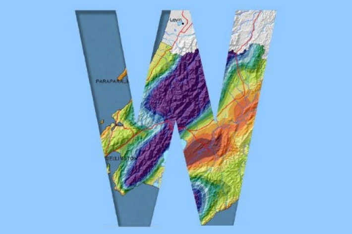
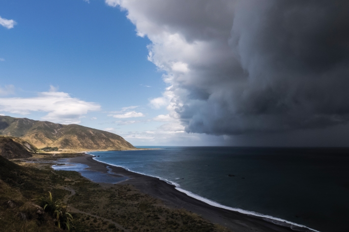
Map E North
Education ResourceSheltered by high country to the west, the eastern zone of the North Island enjoys a dry, sunny climate. -
What is the greenhouse effect?
Education ResourceThe greenhouse effect is a warming of the earth's surface and lower atmosphere caused by substances which let the sun's energy through to the ground but impede the passage of energy from the earth back into space. -
Regional climatologies
A regional climatology is a summary of the typical weather and climate of a region, based on historical data observations made at climate stations located within the region. -
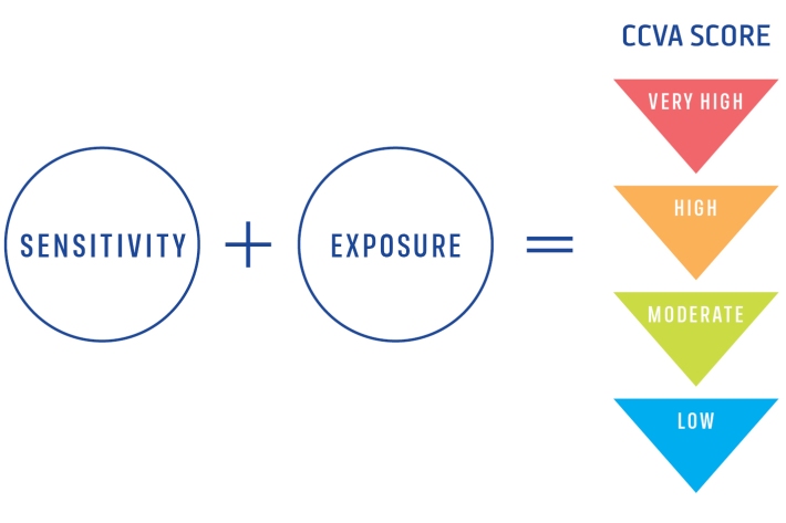
Climate Change Vulnerability Assessment (CCVA)
ServiceTo prepare for changes in climate, our freshwater and oceans decision-makers need information on species vulnerability to climate change. -
Daily climate maps
These climate maps are updated daily and are based on data from our National Climate Database. -
Mean daily maximum temperatures (°C)
These datasets are available in a range of formats.