
-

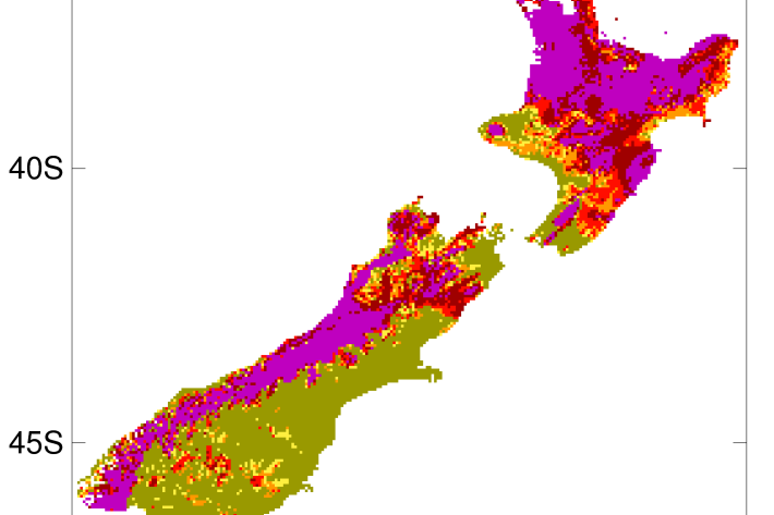
Map W South
Education ResourceThe climate of this area is greatly dependent on its exposure to weather systems from the Tasman Sea and the lie of the Southern Alps to the east. -
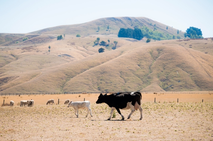
2012-2013 Drought
The 2012-2013 drought affected the entire North Island plus the west coast of the South Island. -
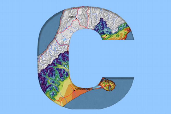
Canterbury
All aspects of the climate of Canterbury are dominated by the influence of the Southern Alps on the prevailing westerly airflows. -
Common climate and weather terms
Education ResourceConfused about El Niño, or can't tell the difference between an Anticyclone and an Isobar? Let us help. -
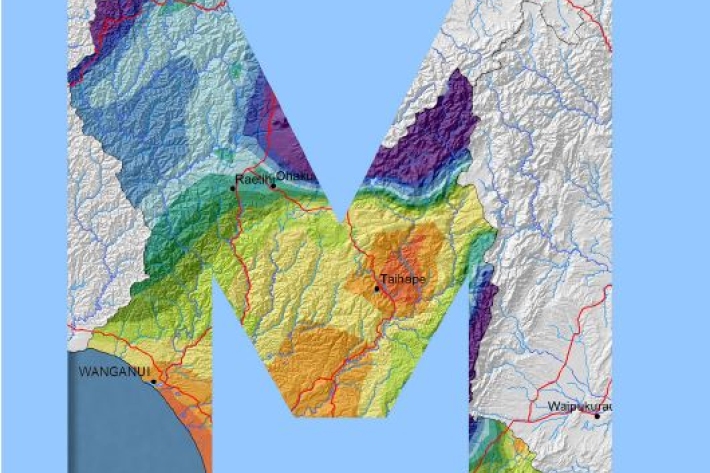
Manawatu-Wanganui
The climate of the Manawatu-Wanganui region is a reflection of the generally disturbed westerly air flow with interspersed anticyclones, modified in specific places by the local topography. -
Investigating ocean acidification
Feature story06 June 2017The world’s oceans are acidifying as a result of the carbon dioxide (CO2) generated by humanity. -
Drought
Education ResourceDefining drought and identifying its causes and impacts on humans. -

What is Ocean acidification?
NIWA oceanographer Dr Cliff Law explains the impacts of ocean acidification on organisms that use carbonates to build their shells, and on bacteria. -
Mean monthly sunshine (hours)
These datasets are available in a range of formats. -

Generating synthetic wind data
Research ProjectNIWA has recently created synthetic, multi-year, 10-minute wind datasets at 15 wind farm sites across New Zealand. These will be used by the Electricity Commission to model the impact of wind farms on the national grid. -
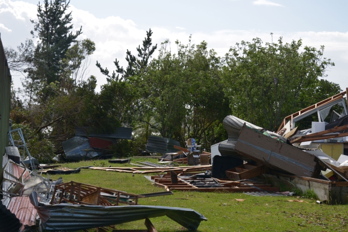
Extreme weather - winds and tornadoes
Education ResourceDue to its position in the 'Roaring Forties', a belt of strong winds in the Southern Hemisphere which generally occur between the latitudes of 40 and 49 degrees, as well as its small size, New Zealand is a windy country.