-
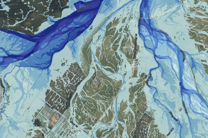
Extreme coastal flood maps for Aotearoa New Zealand
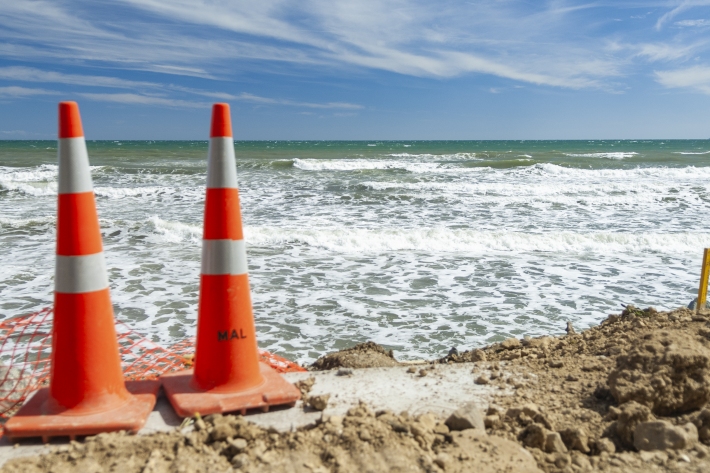
ServiceDecisions about how we adapt to sea-level rise need to be based on information about our exposure to coastal flooding. -

River flow forecasting
Research ProjectNIWA is developing a national river flow forecasting tool for New Zealand that aims to support and strengthen our planning for and response to extreme rainfall events. -
Mā te haumaru o ngā puna wai o Rākaihautū ka ora mō ake tonu
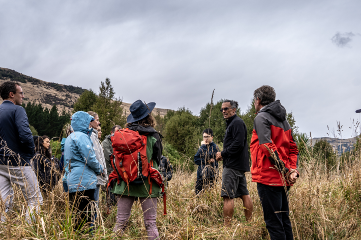
Research ProjectThis five-year NIWA-led research programme is developing a system to map flood hazard consistently across the whole country. It will reveal how our flood risk might change over the next 100 years because of changes to rainfall and sea level from climate change, as well as due to land-use changes. -
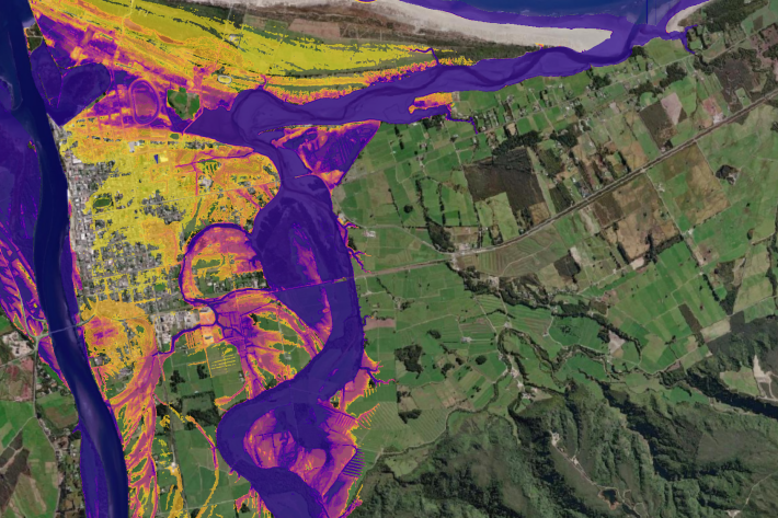
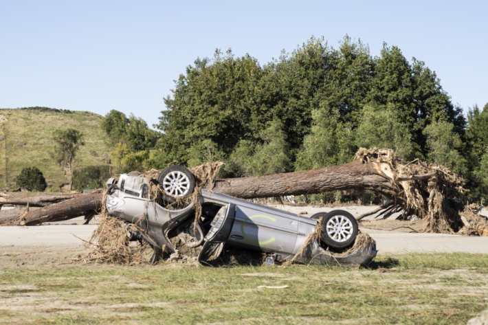
Nationwide study reveals escalating flood risk
Media release30 October 2025New research led by Earth Sciences New Zealand reveals that more than 750,000 New Zealanders live in locations exposed to flooding from one-in-100-year rainfall flooding events. -

Flooding from underneath: New tool reveals shallow groundwater elevations
Media release01 April 2025A new online tool that identifies areas at risk from groundwater flooding has been developed by New Zealand scientists. -

Research outputs
Research projects carried out under the Future Coasts programme -

Future Coasts multi-hazards game
Research ProjectA serious game simulating a coastal lowland scenario under climate change to support adaptation decision-making and community engagement. -

Shallow groundwater screening tool
Software Tool/ResourceA risk screening tool that identifies the presence-absence of shallow groundwater. -
Forecasting floods in a fraction of the time with AI
Media release29 October 2024NIWA is using machine learning to forecast flood inundation in a fraction of the time required to run physical models. -
AI flood maps: forecasting where and when, in real-time
Research ProjectFloods are New Zealand’s most frequent and costly natural disaster. Fast and accurate forecasting of flood impacts is crucial for reducing the risk to life, property, and infrastructure. -

Introduction - Township Flood Challenge Game
Education ResourceWelcome to the NIWA Township Flood Challenge game. -
Extreme weather research gets a boost
Media release21 August 2023NIWA has launched a $5 million per year package of new projects aiming to tackle some of New Zealand’s most pressing challenges, including responding to and preparing for extreme weather events.