-

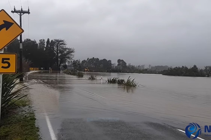
New maps reveal places at risk from sea-level rise
Media release25 May 2023New maps from NIWA and the Deep South National Science Challenge show areas across Aotearoa New Zealand that could be inundated by extreme coastal flooding. -

Mā te haumaru o ngā puna wai o Rākaihautū ka ora mō ake tonu
A NIWA-led research programme developing a system to map flood hazard consistently across the whole country. -
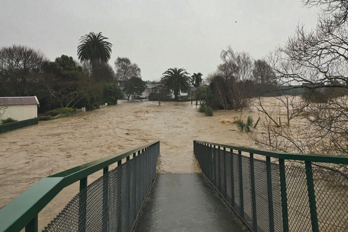
"Exceptional" August atmospheric river sets record
Media release25 August 2022NIWA meteorologists say last week’s atmospheric river (AR), which was responsible for widespread devastation in both the North and South Islands, was a record-breaker. -
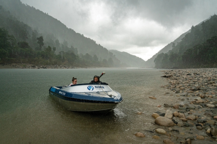
A Hard Rain’s A’Gonna Fall
Feature story31 May 2022Climate change means more intense storm systems are on their way. Science can’t stop it raining, but it can help communities prepare for the worst and plan for the future. -
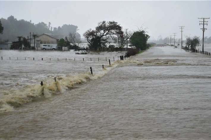
Public asked to help build national flood photo database
Media release15 February 2022NIWA is asking people in flood-affected areas to contribute photos to a national database to support understanding of flood hazard and flood risk. -

Coastal flooding likely to be main driver for adaptation
Media release12 October 2021New NIWA-led research shows increasing flood risk is going to be what leads people to make changes to adapt to sea-level rise. -

Record warmth so far this winter
Media release05 August 2021New Zealand has just experienced its warmest June and July since records began in 1909 and – with one month to go - is on track for its second successive warmest winter on record. -
The largest flood flow ever measured
Media release29 July 2021Flood flows on the Buller River this month were the largest of any river in Aotearoa New Zealand in almost 100 years, NIWA measurements show. -

NIWA calculates 1:200 year flood for parts of Canterbury
Media release14 June 2021Preliminary analysis by NIWA climate scientists has shown that the recent Canterbury rainfall was so extreme in some inland places that it could be expected to happen only once every 200 years. -

Field teams and forecasters cover monumental rainfall event
Feature story09 June 2021The prodigious rainmaker that hit Canterbury earlier this month saw NIWA field teams out in the elements collecting flood data from bridges, cableways and jetboat gaugings. -

Small sea-level rises to drive more intense flooding, say scientists
Media release14 April 2020A little can mean a lot – especially when it comes to the relationship between sea level rise and coastal flooding. -
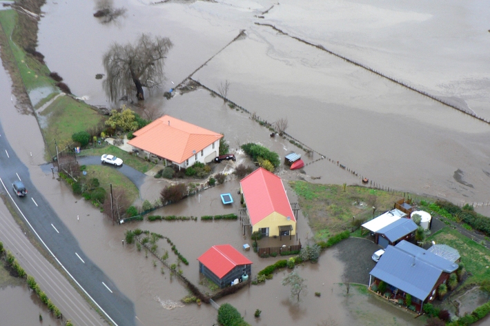
New reports highlight flood risk under climate change
Media release21 August 2019Two reports released today by NIWA and the Deep South National Science Challenge reveal new information about how many New Zealanders, how many buildings and how much infrastructure could be affected by extreme river and coastal flooding from storms and sea-level rise.

