
-
Island Climate Update
Publication seriesA monthly summary of the climate in the tropical South Pacific islands, with an outlook for the coming months. -
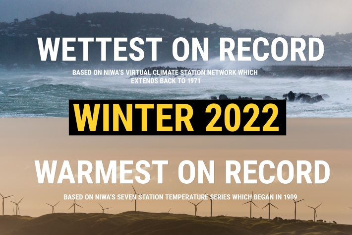
NZ's warmest and wettest winter on record
Media release06 June 2017NIWA’s climate scientists can now confirm what you may have suspected. After carefully poring through more than a century’s worth of data, it has been officially determined that winter 2022 was Aotearoa New Zealand’s warmest and wettest on record. -
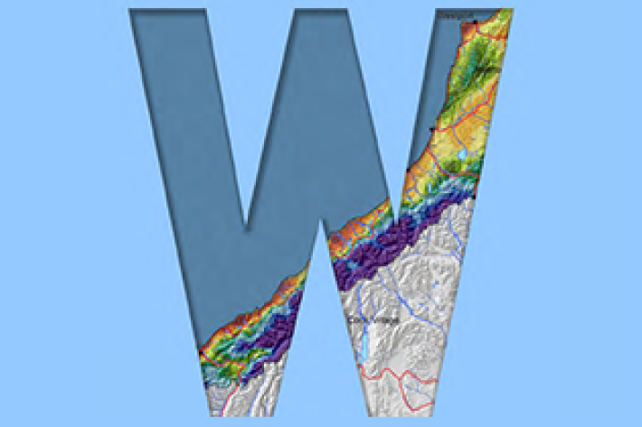
West Coast
West Coast is New Zealand’s wettest region, and this may be attributed to its exposure to the predominant westerly airflow over the country, combined with the orographic effect of the Southern Alps. -
Climate data and activities
We provide an overview of New Zealand climate data for use in school projects. -

UVI smartphone apps
Several apps that provide forecasts of the UV index (UVI) are available for smartphones. -

'Eleven-station' series temperature data
Research ProjectTemperature trends from 1930s to present day -
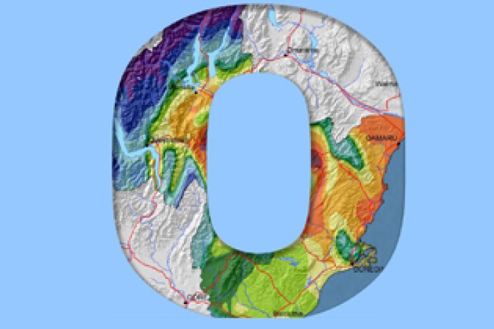
Otago
The climate of Otago is perhaps the most diverse of any region in New Zealand. -

PARTneR (Pacific Risk Tool for Resilience)
Research ProjectUnderstanding how hazards impact people and the environment provides the foundation for informed decision making for a resilient Pacific. -
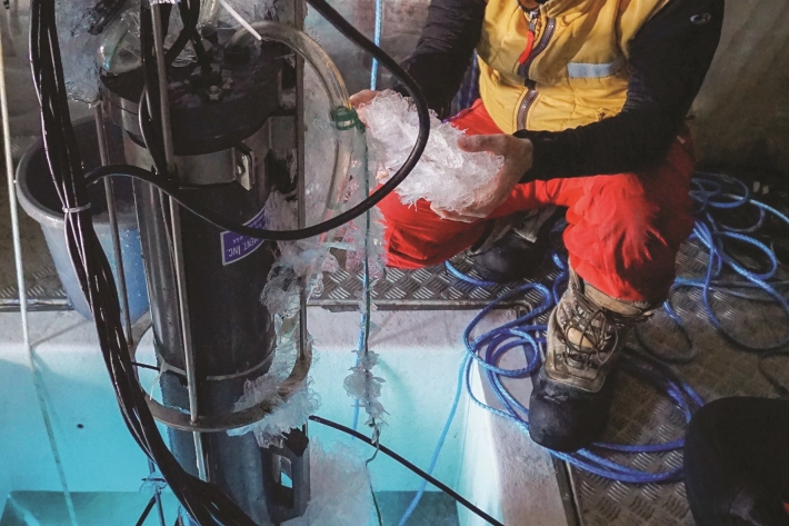
Coldest seawater discovered
Feature story06 June 2017The coldest seawater on earth could help scientists understand why Antarctic sea ice is growing in a warming world -
Mean 10cm earth temperature (°C)
These datasets are available in a range of formats.