
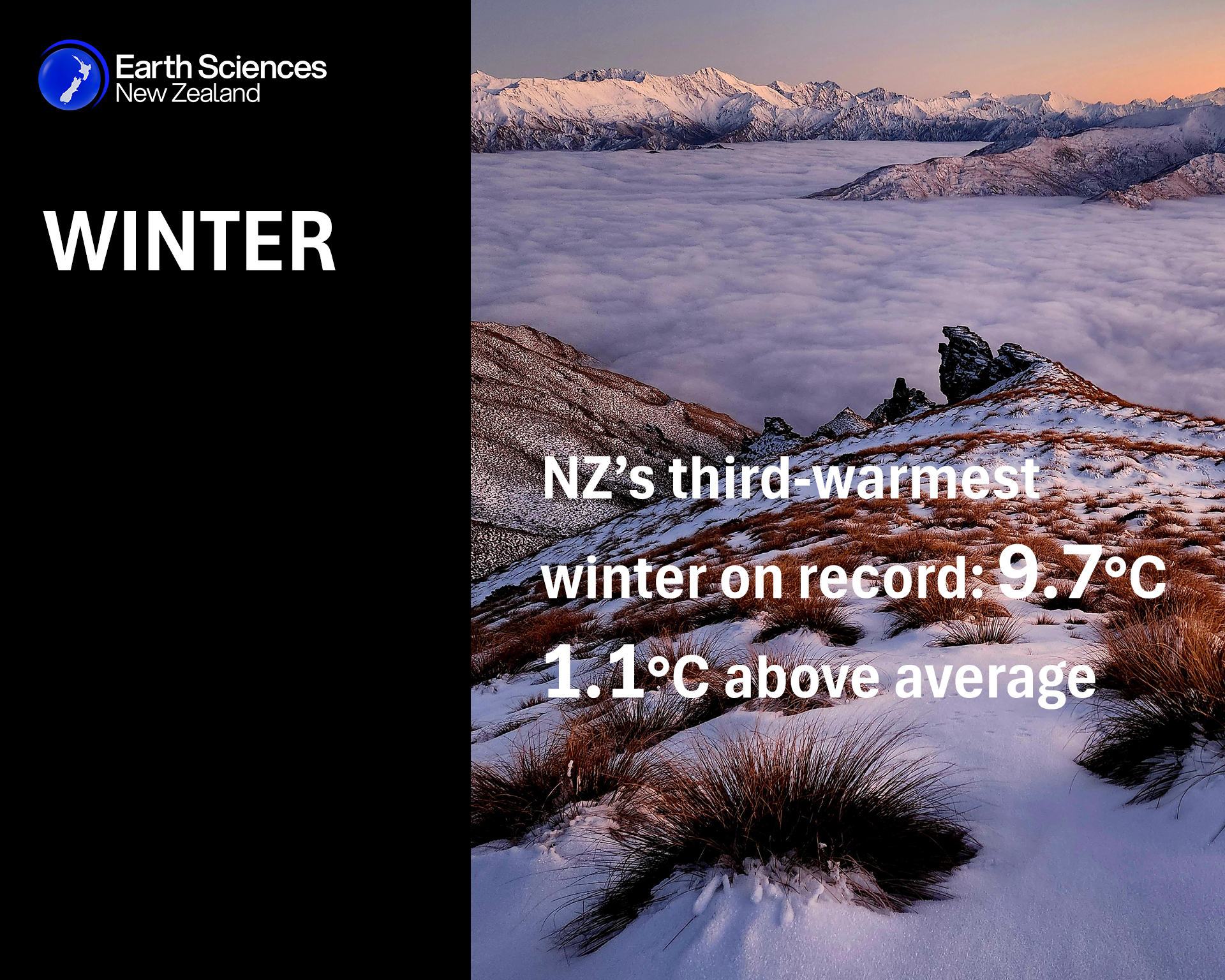
New Zealand’s third-warmest winter on record
| Temperature | Winter temperatures were above average (0.51-1.20°C above average) or well above average (>1.20°C above average) throughout the South Island, and for many parts of the North Island. Temperatures were near average (±0.50°C of average) for parts of Northland, Auckland, Waikato, eastern Bay of Plenty, and Gisborne. |
| Rainfall | Rainfall was above normal (120-149% of normal) or well above normal (>149% of normal) for Southland, Otago, southern and inland parts of Canterbury, and the West Coast. Rainfall was below normal (50-79% of normal) for Manawatū-Whanganui, Taranaki, Hawke’s Bay, and much of Waikato, Auckland, and Northland. |
| Soil Moisture | At the end of winter, soil moisture levels were higher than normal for coastal parts of Otago and Kaikōura. Near normal soil moisture levels were typical for the remainder of the country. |
Overview
The nationwide average temperature in winter 2026 was 9.7°C. This was 1.1°C above the 1991-2020 winter average, making it New Zealand’s 3rd-warmest winter since Earth Sciences New Zealand’s seven station temperature series began in 1909. This may surprise a large portion of the population, especially in northern areas where winter temperatures were close to average. However, the exceptional warmth of June nationwide, and the relatively warm winter throughout the South Island, were the dominant features of the country’s overall seasonal temperature. Temperatures were above average (0.51-1.20°C above average) or well above average (>1.20°C above average) throughout the South Island. Temperatures were also above average for many parts of the North Island. The exception was parts of Northland, Auckland, Waikato, eastern Bay of Plenty, and Gisborne, where temperatures were near average (±0.50°C of average).
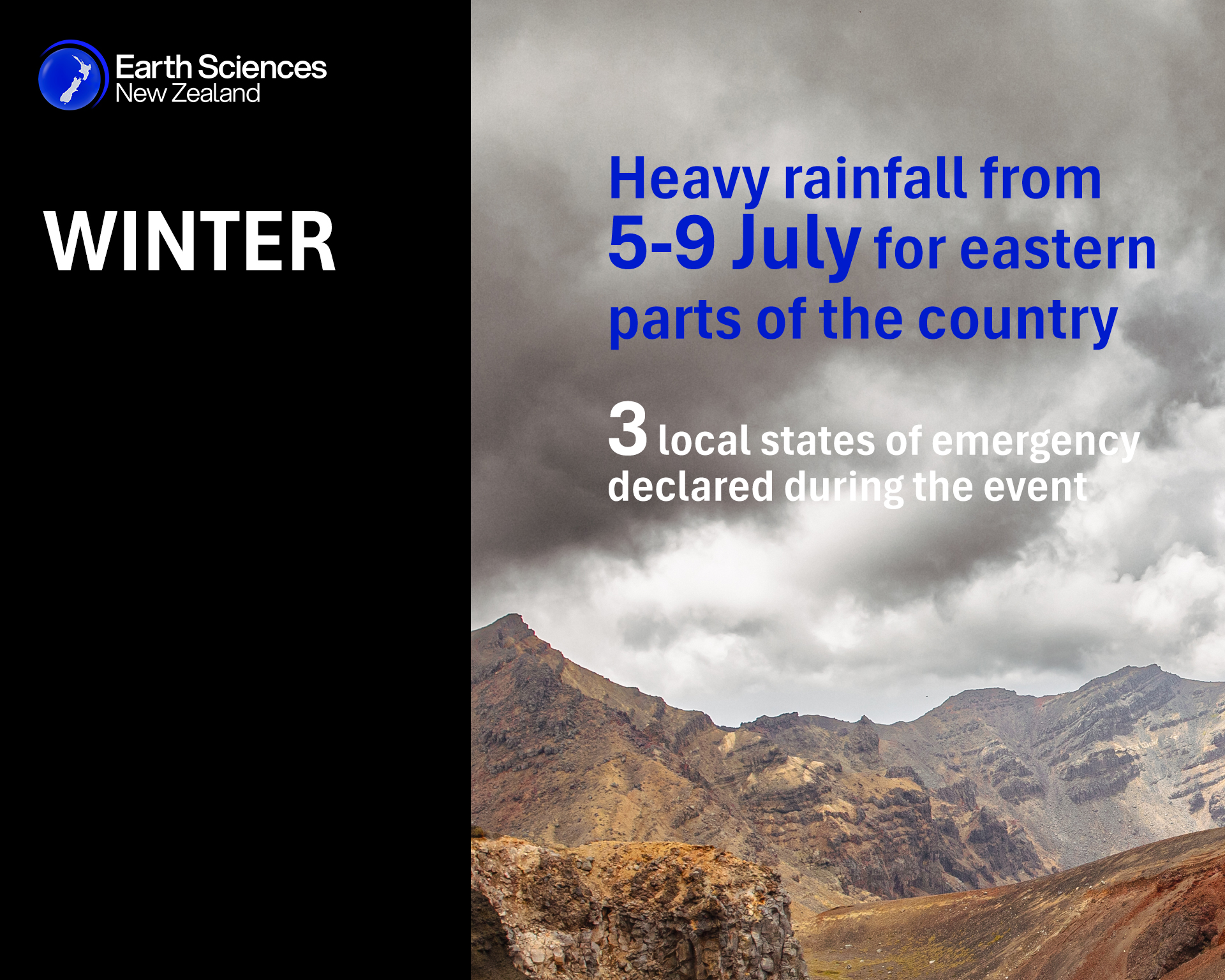
Winter rainfall was above normal (120-149% of normal) or well above normal (>149% of normal) for Southland, Otago, southern and inland parts of Canterbury, and the West Coast. Rainfall was below normal (50-79% of normal) for large parts of the North Island, including Manawatū-Whanganui, Taranaki, Hawke’s Bay, and much of Waikato, Auckland, and Northland. Rainfall was near normal (80-119% of normal) for remaining parts of the country. Impactful heavy rainfall occurred from 5-9 July for eastern parts of the country, with three local states of emergency declared during the event (see Highlights and extreme events section for further details).
El Niño conditions were present in the tropical Pacific atmosphere and ocean, and strengthened considerably from mid-winter onwards. Sea surface temperatures (SSTs) around New Zealand were mostly near average or above average, with Marine Heatwave (MHW) conditions[1] experienced around much of the South Island and Tasman Sea during July and August.
Further Highlights:
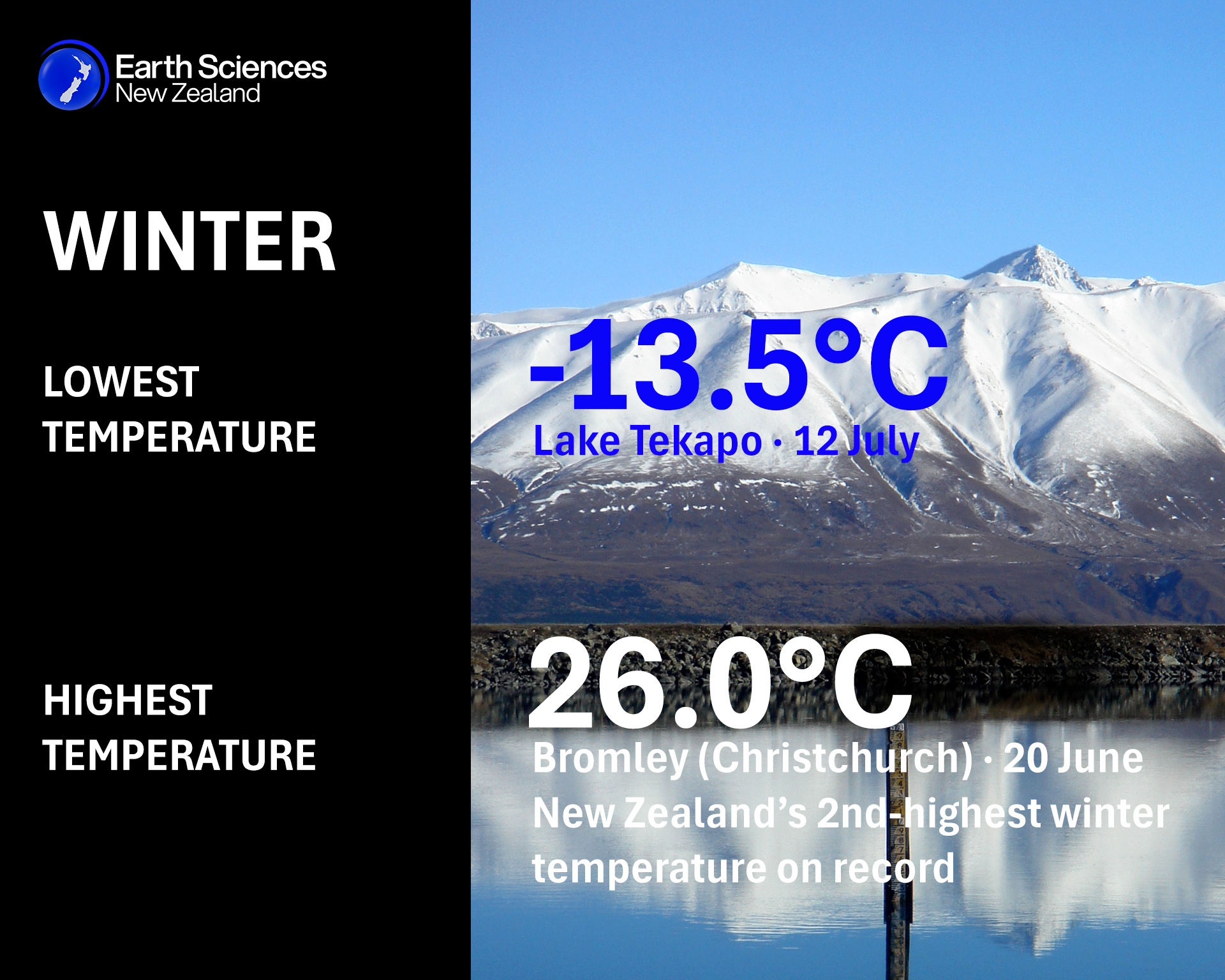
- The highest temperature was 26.0°C, observed at Bromley (Christchurch) on 20 June. This was New Zealand’s second-highest winter temperature on record.
- The lowest temperature was -13.5°C, observed at Lake Tekapo on 12 July.
- The highest 1-day rainfall was 194 mm, recorded at Franz Josef on 26 August.
- The highest wind gust was 207 km/h, observed at Cape Turnagain on 23 August.
- Of the six main centres in winter 2026, Auckland and Tauranga were the equal-warmest, Tauranga was the sunniest, Christchurch was the coolest and driest, Wellington was the wettest, and Dunedin was the least sunny.
- The sunniest four regions in 2026 so far are Nelson (1823 hours), Whakatāne (1793 hours), New Plymouth (1760 hours) and Richmond (1722 hours).
[1] Defined as five or more consecutive days with SSTs above the 90th percentile for the time of year.