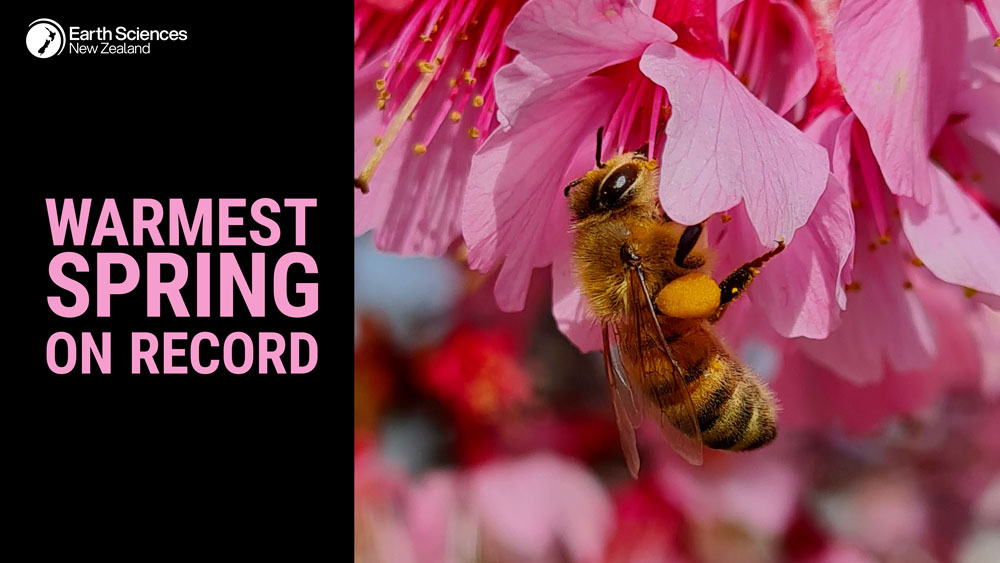
Warmest spring on record
| Temperature | Spring temperatures were well above average (>1.20°C above average) for most of the North Island, and eastern parts of the South Island from Marlborough to Dunedin. Temperatures were near average (±0.50°C of average) for western parts of Southland and Otago, and much of the West Coast. Temperatures were above average (0.51-1.20°C above average) for the remainder of the country. |
| Rainfall | Rainfall was above normal (120-149% of normal) or well above normal (>149% of normal) for most of Southland, interior Otago, Westland, Waikato, Auckland, western Northland, and much of the Bay of Plenty. Rainfall was below normal (50-79% of normal) or well below normal (<50% of normal) for Hawke’s Bay, much of Gisborne, coastal Wairarapa, about the Marlborough Sounds, and most of Canterbury, with near normal rainfall (80-119% of normal) for the remainder of the country. |
| Soil Moisture | At the end of spring, soil moisture levels were lower than normal along the east of the North Island, from coastal Gisborne to the Wairarapa, as well as eastern parts of Canterbury and northern Otago. Soil moisture levels were higher than normal across western parts of Southland and Otago, Grey District, Buller and Tasman, Taranaki, and most areas north of the Central Plateau. Near normal soil moisture levels were typical for the remainder of the country. |

Overview
Spring mean sea level air pressure was lower than normal over the South Island and the lower North Island of Aotearoa New Zealand. West to northwesterly winds were the dominant pattern in general across the country, in large part driven by a Sudden Stratospheric Warming event that occurred in September, which led to extremely active weather patterns in spring. Warm airmasses flowed over New Zealand regularly in November, leading to the country’s warmest November and spring on record. In early spring, ENSO-neutral (El Niño – Southern Oscillation) conditions were present in the tropical Pacific, but trended towards La Niña-like conditions during the season. La Niña was officially declared by Earth Sciences New Zealand in October. La Niña events are typically associated with more frequent northeasterly winds in New Zealand, however the westerlies continued across the country, with the occasional northerly intrusion of warm tropical moisture in November. Sea surface temperatures (SSTs) around New Zealand were generally above average, particularly off the coast of the North Island, with widespread Marine Heatwave (MHW) conditions[1] experienced in these areas.
The nationwide average temperature in spring 2025 was 13.5°C. This was 1.3°C above the 1991-2020 spring average, making it New Zealand’s warmest spring since Earth Sciences New Zealand’s seven station temperature series began in 1909. Spring temperatures were well above average (>1.20°C above average) for Northland, Auckland, Bay of Plenty, Gisborne, Hawke’s Bay, much of the Waikato, most of the Manawatū, Wellington, much of Marlborough, most of Canterbury, North Otago, and western Tasman. Temperatures were above average (0.51-1.20°C above average) for the remainder of the North Island, the remainder Tasman and Marlborough, Nelson, most of Central Otago, and the remainder Canterbury. Temperatures were near average (±0.50°C of average) for western parts of Southland and Otago, and much of the West Coast. No areas experienced below average temperatures in Spring 2025.
Spring rainfall was above normal (120-149% of normal) for most of interior Otago, Westland, most of Southland, most of the Waikato (except about Taupō and the Coromandel Peninsula), Auckland, western Northland, and a majority of the Bay of Plenty. Rainfall was well above normal (>149% of normal) for Otago about the Queenstown-Lakes District, Fiordland, the high country of the West Coast, and Waikato about Paeroa and Taupō. Rainfall was below normal (50-79% of normal) for Hawke’s Bay, eastern Gisborne, Wairarapa, the Marlborough Sounds, and most of the Canterbury low country excluding Bank’s Peninsula and Christchurch. Rainfall was well below normal (<50% of normal) for a small portion of South Canterbury. The remainder of the country recorded near normal rainfall (80-120% of normal).
Further Highlights:
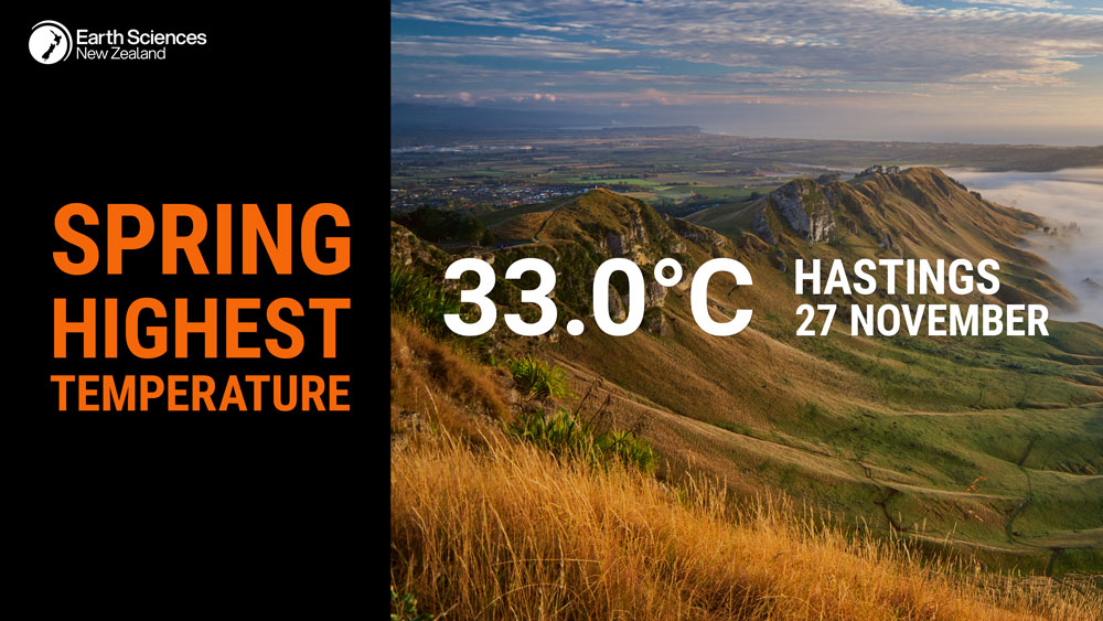
- The highest temperature was 33.0°C, observed at Hastings on 27 November.
- The lowest temperature was -6.5°C, observed at Pukaki Airport on 11 September.
- The highest 1-day rainfall was 226 mm, recorded at Milford Sound on 20 October.
- The highest wind gust was 252 km/h, observed at Cape Turnagain on 21 October.
- Of the six main centres in spring 2025, Tauranga was the warmest, Hamilton was the wettest and least sunny, Christchurch was the driest and sunniest, and Dunedin was the coolest.
- The sunniest four regions in 2025 so far are Taranaki (2445 hours), wider Nelson (2392 hours), Marlborough (2375), and Bay of Plenty (2358 hours).
