-
Organisational sustainability
NIWA's goal is to provide the science to help New Zealanders transition to a sustainable future. -
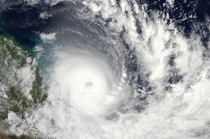
Southwest Pacific Tropical Cyclone Outlook
Publication seriesA summary of up-coming tropical cyclone seasons, issued 6-monthly. -
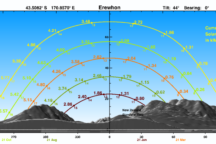
SolarView example
An illustrated example, showing how to input data and interpret SolarView results. -
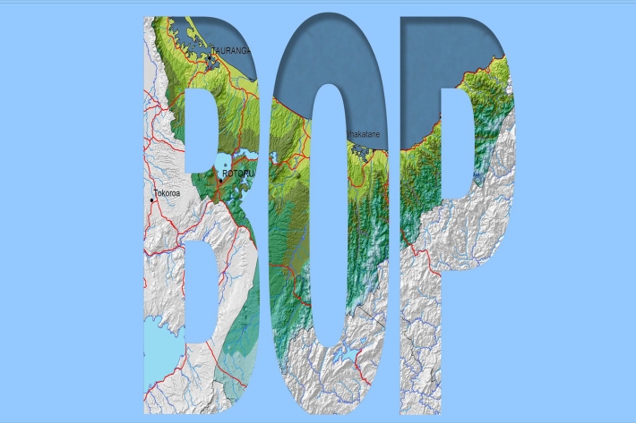
Bay of Plenty
The topography of the North Island has a profound effect on the weather of the Bay of Plenty region. -

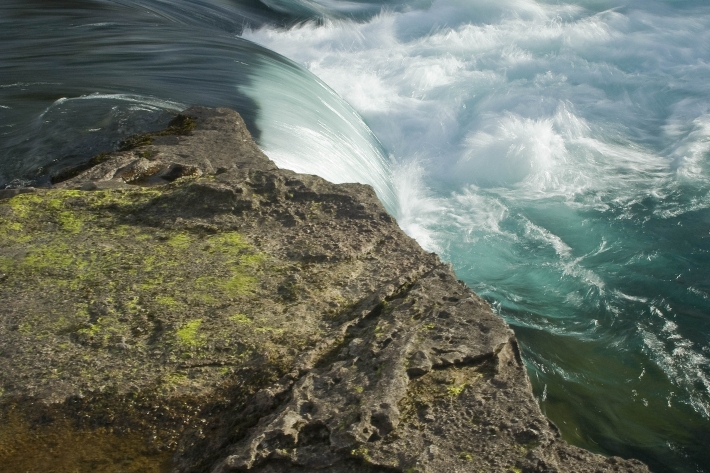
Kākahi
The kākahi or freshwater mussel was a valuable mahinga kai resource for many Māori. -
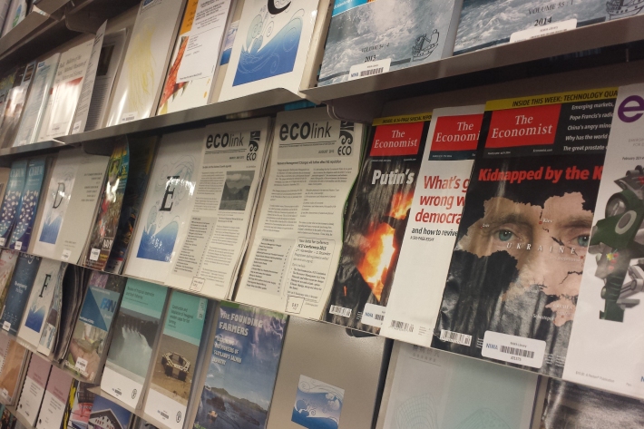
Library
ServiceThe NIWA library collection contains items in a range of formats, covering subjects including atmospheric and climate research, aquaculture, oceanography, fisheries and marine sciences. -
Mean monthly sunshine (hours)
These datasets are available in a range of formats. -
Map E North
Education ResourceSheltered by high country to the west, the eastern zone of the North Island enjoys a dry, sunny climate. -
Droughts
Generally speaking, a drought is defined as a rainfall deficit which restricts or prevents a human activity – for example, farming or power generation. -
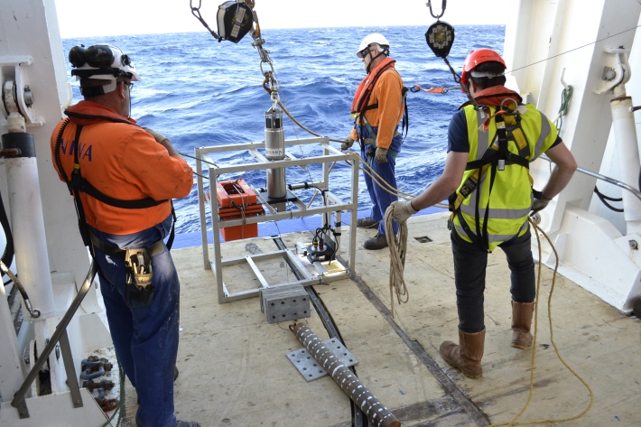
Scientists explore deepest parts of the Kermadec Trench
Media release06 June 2017Scientists exploring the Kermadec Trench believe they have retrieved the deepest ever sediment sample from the bottom of the ocean using a wire-deployed corer. -
NIWA Hydro Web Portal
NIWA's Hydro Web Portal provides river flow and water quality monitoring data from NIWA’s Benchmark river monitoring network.