-

Mean daily global radiation (Mj/sq m)
These datasets are available in a range of formats. -
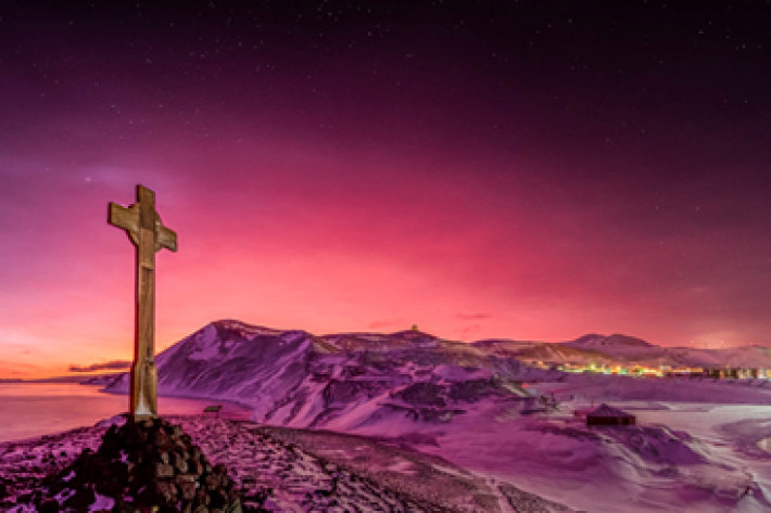
Tonga volcano “afterglow” causes dazzling skies in Antarctica
Media release06 June 2017Antarctica is experiencing stunning skyscapes like those recently seen in New Zealand, thanks to the afterglow effect from the Tongan volcano. -

Freshwater fish species list
A list all of New Zealand's freshwater fish species. -
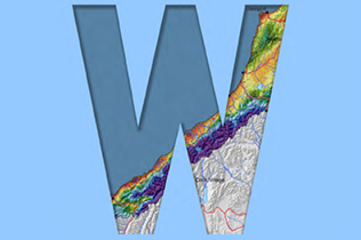
West Coast
West Coast is New Zealand’s wettest region, and this may be attributed to its exposure to the predominant westerly airflow over the country, combined with the orographic effect of the Southern Alps. -

Stream Health Monitoring and Assessment Kit
ServiceHow healthy is your stream? SHMAK - the New Zealand Stream Health Monitoring and Assessment Kit - has been designed to help you find out. -
Toitoi
One of the most common species of freshwater fish in Aotearoa is the common bully or toitoi. -
Impacts of water dams
What are the impacts of water dams on water quality and mahinga kai? -
Tuna - habitat
Tuna are found in all sorts of habitats (places), including coastal estuaries, lakes, wetlands, rivers, mountain streams and even alpine tarns. -

Multibeam swath system
Hull-mounted on the RV Tangaroa, the EM302 multibeam echosounder maps the seafloor using a fan of 288 acoustic beams, producing up to 864 soundings per ping in dual swath mode, providing 100% coverage of the seabed. -
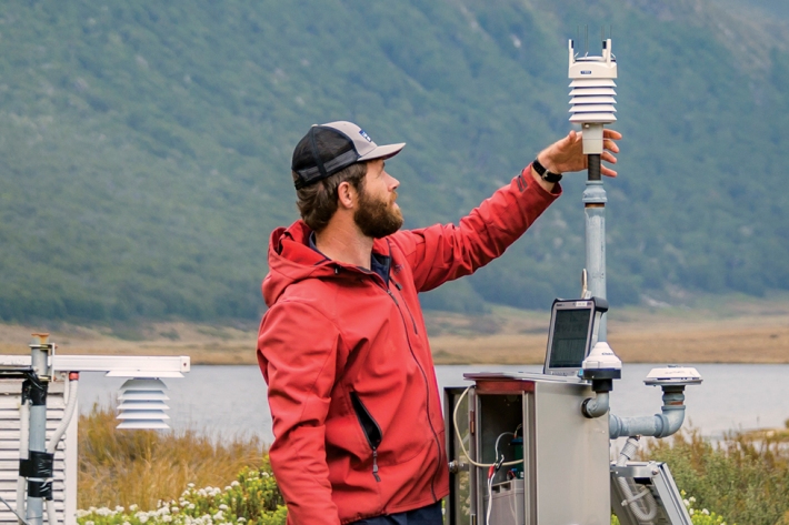
Monthly
Publication seriesMonthly climate summaries from December 2001 to the present.