-

Other Climate data products
Short-term to long-term data estimation -

High Performance Computing Facility
FacilityThe High Performance Computing Facility (HPCF) is supercharging New Zealand science. -
Hotspot Watch Updates
This weekly update helps assess likelihood of extremely dry weather preceding a drought. -
Mean daily global radiation (Mj/sq m)
These datasets are available in a range of formats. -
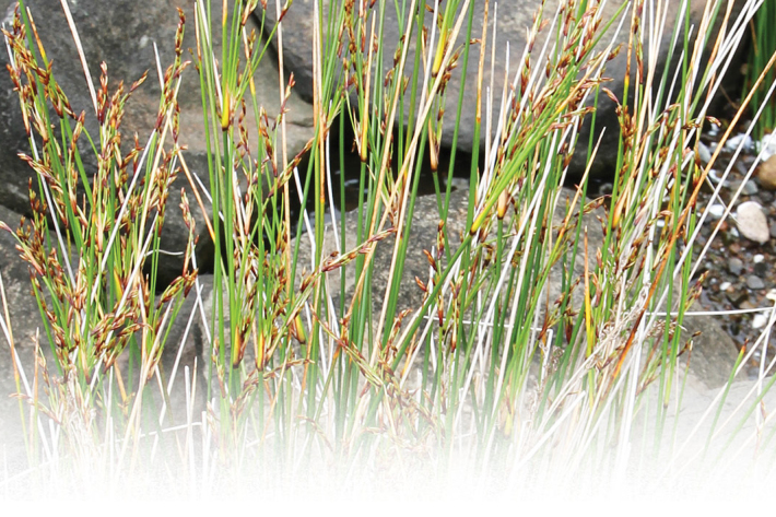
New Zealand rushes (Juncus): factsheets and key
New Zealand rushes (Juncus): species-level factsheets. -
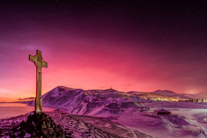
Tonga volcano “afterglow” causes dazzling skies in Antarctica
Media release06 June 2017Antarctica is experiencing stunning skyscapes like those recently seen in New Zealand, thanks to the afterglow effect from the Tongan volcano. -
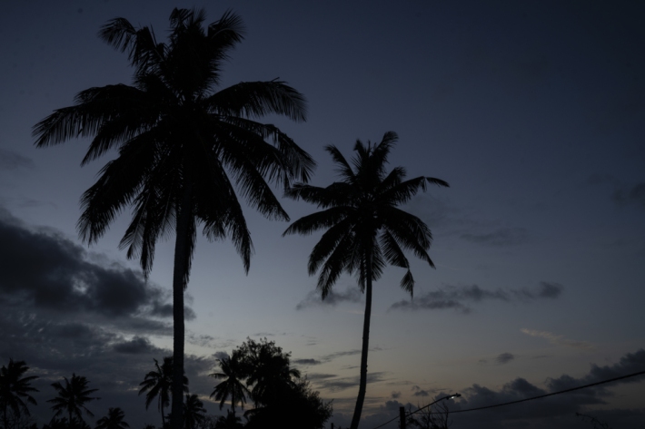
Island Climate Update
Publication seriesA monthly summary of the climate in the tropical South Pacific islands, with an outlook for the coming months. -

Chemical contamination and wood processing
What are the sources of chemical contamination from wood processing? -
Algae ID guides
A collection of ID guides to algae. Groups include major freshwater algal groups, diatoms and blue-green (cyanobacteria), red and green algae. -
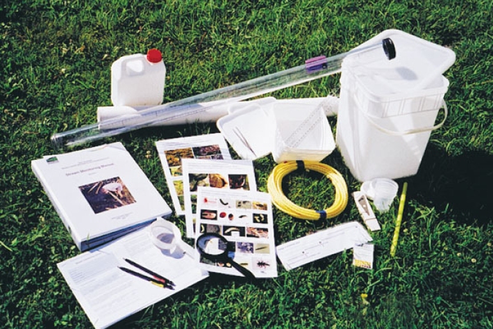
Stream Health Monitoring and Assessment Kit
ServiceHow healthy is your stream? SHMAK - the New Zealand Stream Health Monitoring and Assessment Kit - has been designed to help you find out. -
Toitoi
One of the most common species of freshwater fish in Aotearoa is the common bully or toitoi. -
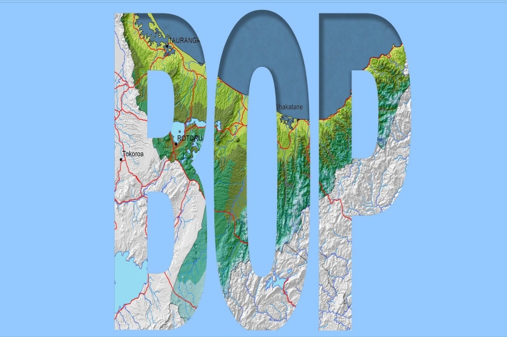
Bay of Plenty
The topography of the North Island has a profound effect on the weather of the Bay of Plenty region.