-
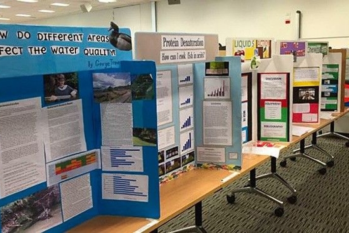
Science and Technology Fairs
NIWA is a major sponsor of the Auckland, Manukau City, North Harbour, Waikato, Wellington, Canterbury and Bay of Plenty – Science & Technology Fairs. -

Weather plots: temperature and relative humidity
Objective: to observe the relationship between temperature and relative humidity. -
Soil Moisture Deficit (SMD)
The 3-panel Soil Moisture Deficit (SMD) map shows the historical soil moisture deficit at the date shown (left), the soil moisture deficit at the same time last year (middle) and the current soil moisture deficit (right). -
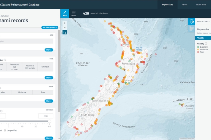
New Zealand Palaeotsunami Database
Software Tool/ResourceThe New Zealand Palaeotsunami Database (Database) brings together all known information about tsunamis that occurred prior to written records. -
Cloud Imagery
On this page
NZ Region Cloud Analysis Australasian Region Infrared Hemispheric Infrared NZ High-res Visible Contact
All transmissions from GMS-5 are no longer received at NIWA’s satellite reception station in Wellington. We are working on an alternative data feed and will be able to bring back these images later this year. Once we start receiving data again, it will then be calibrated, re-mapped onto standard map projections, and archived. -
Smelt
Smelt have a distinctly forked tail and a strong cucumber smell. -
Tuna - recreational fisheries
The majority of New Zealanders are able to recall a story about catching eels when they were children. -
Freshwater databases online
More information about our online freshwater databases. -
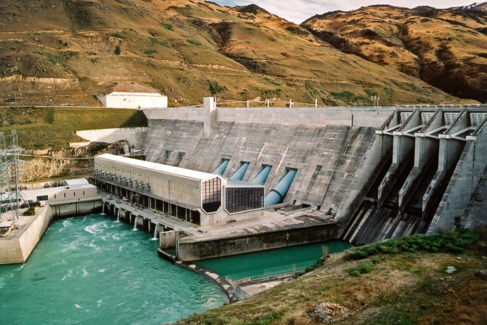
Water dams
Damming water for urban use, hydro-electric power generation, irrigation, and other industrial and commercial uses. -
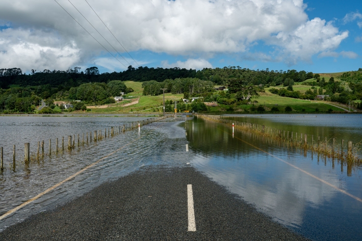
Flooding - how does it happen?
Education ResourceUnderstanding what happens above and below ground during a flooding event, and how it is different from normal rainfall conditions -

PARTneR (Pacific Risk Tool for Resilience)
Research ProjectUnderstanding how hazards impact people and the environment provides the foundation for informed decision making for a resilient Pacific.