-
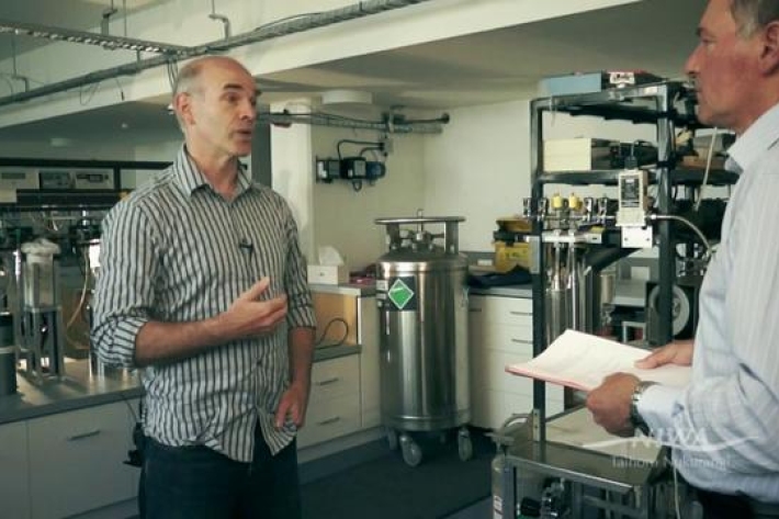
What is Ocean acidification?
NIWA oceanographer Dr Cliff Law explains the impacts of ocean acidification on organisms that use carbonates to build their shells, and on bacteria. -

Climate stations and instruments
We can supply a wide range of weather or climate monitoring instruments from single parameter sensors to fully equipped and installed climate stations. -

UVI smartphone apps
Several apps that provide forecasts of the UV index (UVI) are available for smartphones. -
Our management
NIWA is managed by an Executive Team reporting to the Chief Executive Officer. Science and operational matters are handled by two sub-groups. -
Banded kōkopu
Banded kōkopu juveniles are very good climbers and will try to escape from buckets by clinging to and wriggling up the sides. -
Mining activities
A range of different mining techniques have been developed to obtain these valuable resources -
Using trigonometric functions to model climate
Education ResourceYour task is to create a model of the data to predict the times during the year that a location would be pleasant to visit -
Al Brown's Hapuku Recipe
Al Brown is an award-winning chef, co-owner of Wellington’s Logan Brown restaurant, television presenter on Hunger for the Wild, writer, and fisherman. -
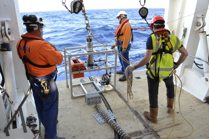
Scientists explore deepest parts of the Kermadec Trench
Media release06 June 2017Scientists exploring the Kermadec Trench believe they have retrieved the deepest ever sediment sample from the bottom of the ocean using a wire-deployed corer.