-
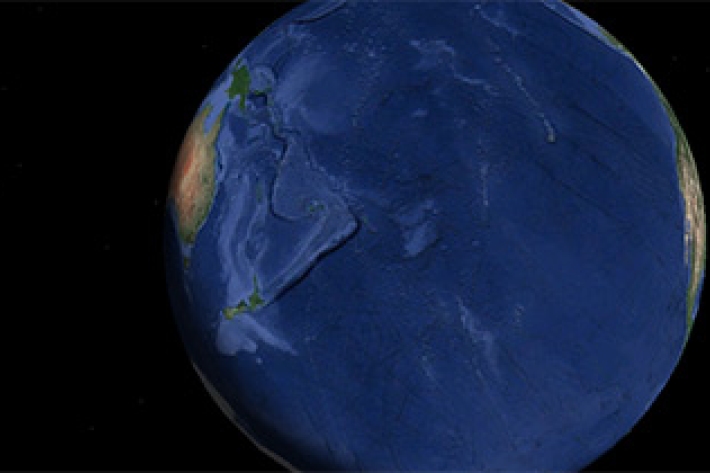
New Zealand joins global seabed mapping initiative
News article09 June 2017New Zealand joins global seabed mapping initiative -

New Zealand bathymetry - Further information
Technical information about our datasets and methodology along with related resources. -
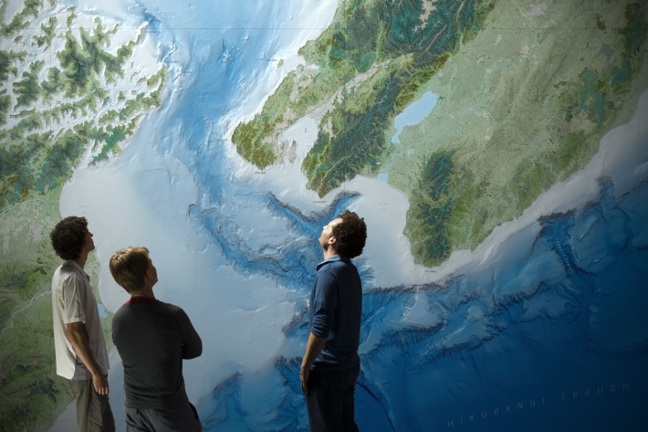
Charts
Publication seriesCharts of coastal bathymetry, sediment, and other information are available for purchase. -

Multibeam swath system
Hull-mounted on the RV Tangaroa, the EM302 multibeam echosounder maps the seafloor using a fan of 288 acoustic beams, producing up to 864 soundings per ping in dual swath mode, providing 100% coverage of the seabed. -
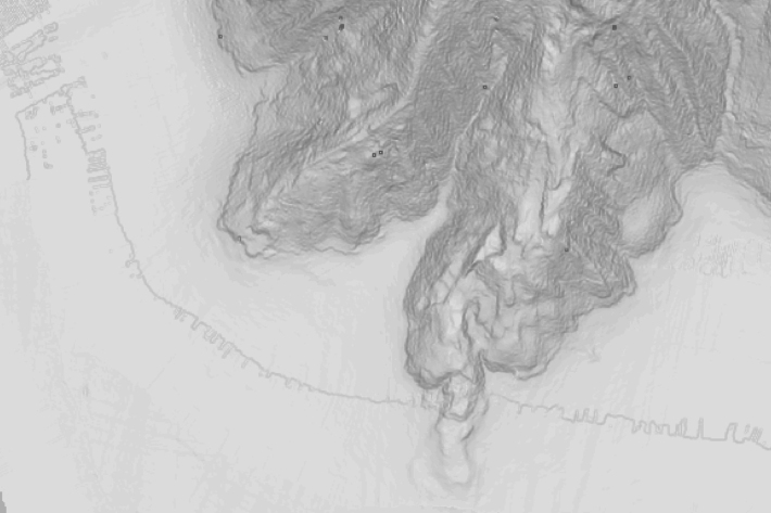
Massive mudslides in Kaikōura Canyon destroy seabed life
Media release27 February 2017Huge mudslides from November’s earthquakes have wiped out all organisms living in the seabed of the Kaikōura Canyon. -

NIWA completes first bathymetric mapping of Lake Tekapo
Media release17 March 2016NIWA researchers have spent part of the last month keeping a close eye on the bottom of Lake Tekapo to find out what it looks like and what is going on below the lake bed. -
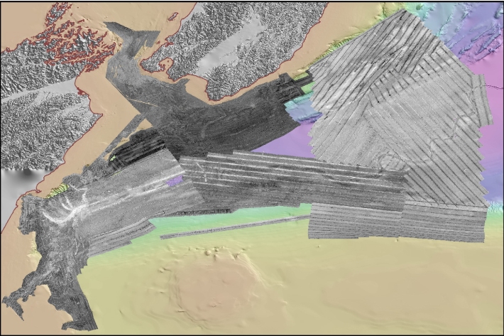
Backscatter Measurement Guidelines
Research ProjectMarine scientists have long recognized the potential of using remotely-sensed data, most often acquired using a sonar system, as a proxy of biophysical indicators. -

Voyage leader's final update
Blog11 March 2015Now back on dry land, Voyage Leader Richard O'Driscoll reflects on the final days of RV Tangaroa's 2015 Antarctica expedition. -

How prepared are we for a major marine earthquake?
News article14 November 2012 -

First sighting of volcano responsible for undersea eruption
News article29 October 2012 -
Oceans 20/20
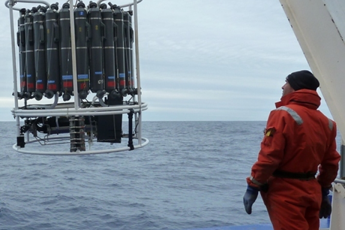
Research ProjectThe Ocean Survey 20/20 (OS 20/20) programme aims to provide NZ with better knowledge of its ocean territory.

