-
Twenty thousand leagues under the sea: Uncovering mysteries of the deep ocean
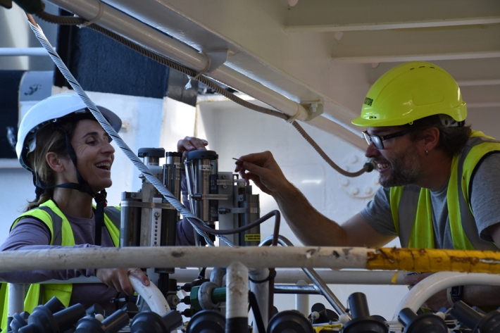
Media release27 June 2023Scientists have returned from a 14-day expedition to one of the most unexplored parts of the ocean. -

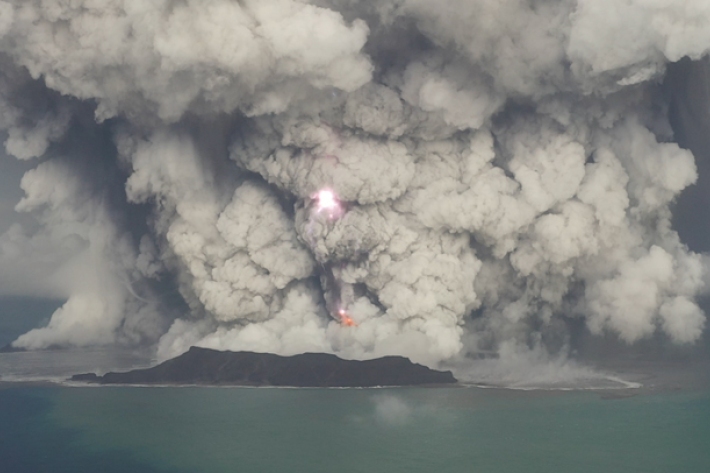
Tonga eruption and tsunami shock the world
The Hunga-Tonga Hunga-Ha'apai volcano generated the biggest atmospheric explosion recorded on Earth in more than 100 years. -

Argo floats
Research ProjectSince the early 2000s, NIWA has been part of the international Argo programme, which is deploying floats to measure temperature and salinity throughout the world's oceans. -

Seabed 2030
Research ProjectNIWA is leading a New Zealand partnership to map the South and West Pacific Ocean's seabed as part of a worldwide initiative to map the entire globe’s seafloor. -

The I-MIX Project
Research ProjectHow Internal wave MIXing is altered by climate change and what are the consequences for ecosystems? -

NIWA undertakes post-Gabrielle seabed mapping in Hawkes Bay
Media release18 April 2023NIWA scientists will be in Hawkes Bay this week to map the seabed to measure the effects of Cyclone Gabrielle -
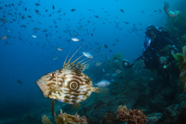
Online atlas provides understanding of marine life and habitats
Media release09 March 2023Researchers have developed New Zealand’s most comprehensive online atlas, providing an overview of nearly 600 marine species. -
Making big waves in the Pacific
Feature story15 December 2022Prior to 15 January, Hunga Tonga-Hunga Ha'apai was a little-known undersea South Pacific volcano with a long name. Within 24 hours, it was a global phenomenon – the site of the largest atmospheric explosion in almost 150 years. Jessica Rowley looks at why a remote Tongan volcano took the world by storm. -
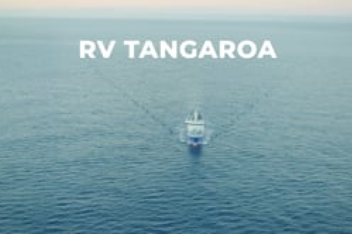
RV Tangaroa: New Zealand’s world-class research vessel
NIWA proudly owns and operates RV Tangaroa, a 70 m Ice Class scientific platform. -

The instruments at work - In the volcano's wake
Our team onboard RV Tangaroa are equipped with all the tech and tools they need to explore the undersea changes caused by the devastating volcanic eruption in Tonga earlier this year. -

Mapping the Tongan eruption
The January eruption of the Tongan volcano Hunga Tonga – Hunga Ha’apai triggered tsunamis as far away as the Caribbean. NIWA scientists are onboard RV Tangaroa surveying the ocean around the volcano, working to understand the largest eruption of its kind since 1981 so they can help increase our knowledge about similar volcanoes around the world. -
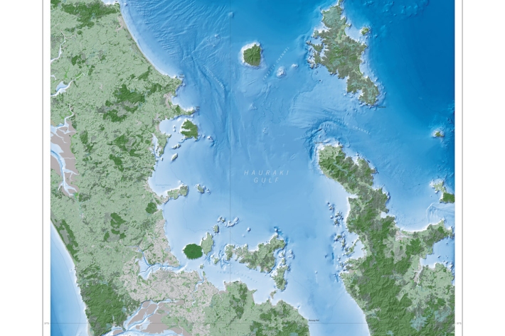
Hauraki Integrated Land-Water Modelling
Research ProjectThe Inner Hauraki Gulf/Tīkapa Moana ecosystem is facing proliferations of algae, de-oxygenation, reduced pH (acidification), reduced water clarity, and muddier sediments arising from historical and future land-derived contaminant inputs.