-

Scientists set to delve into the secrets of the Cook Strait mega-canyon
News article06 June 2017 -

Environmental monitoring
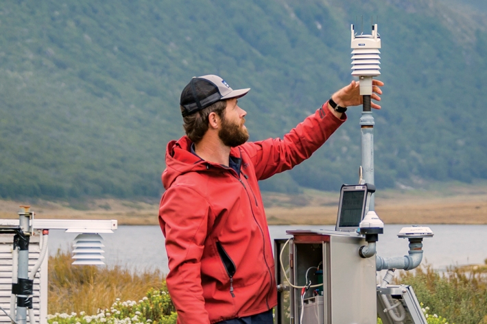
NIWA collects a vast range of environmental information about New Zealand’s environment from the sky to the seafloor. -
Monthly
Publication seriesMonthly climate summaries from December 2001 to the present. -
Standardised Precipitation Index (SPI)
The Standardised Precipitation Index (SPI) is a simple measure of drought (and also of very wet conditions) and is based solely on the accumulated precipitation for a given time period. -
Pulp and paper
Wood chips and plant material make pulp that is used to produce paper products. -

Submerged plants as bio-indicators
Submerged plants have a number of advantages that favour their use as indicators of lake ecological condition. -
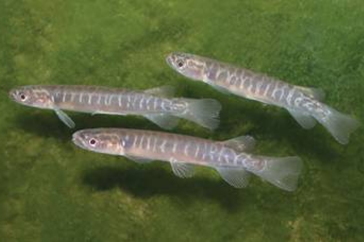
Mahinga kai - what species interests you?
In Kaitiaki Tools the term mahinga kai generally refers to indigenous freshwater species that have traditionally been used as food, tools, or other resources. -
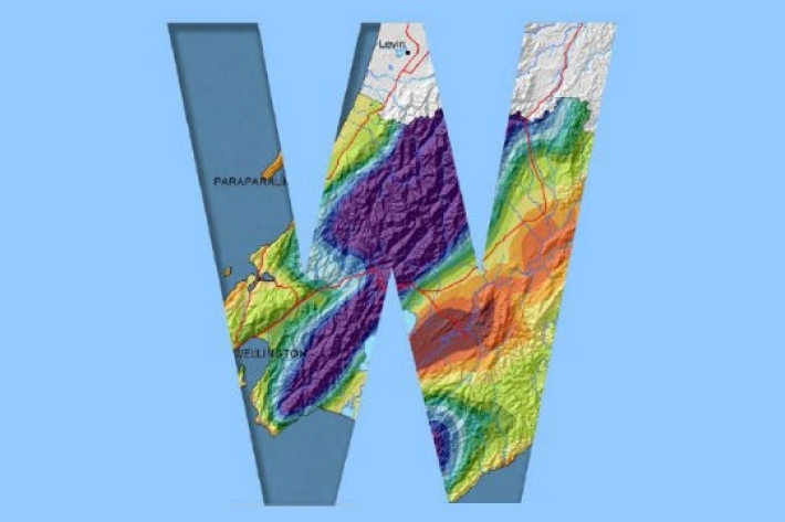
Regional climatologies
A regional climatology is a summary of the typical weather and climate of a region, based on historical data observations made at climate stations located within the region. -
Meteorologist for a day
Within a range of meaningful contexts students will be able to make statements about implications and possible actions consistent with the results of a statistical investigation and to find and authenticate data measures such as mean, median, mode, inter-quartile range, and range. -

Atlantis ecosystem model
Atlantis is a 3D, spatially-explicit, trophodynamic ecosystem model that integrates biology, physics, chemistry and human impacts to provide a synoptic view of marine ecosystem function.