-

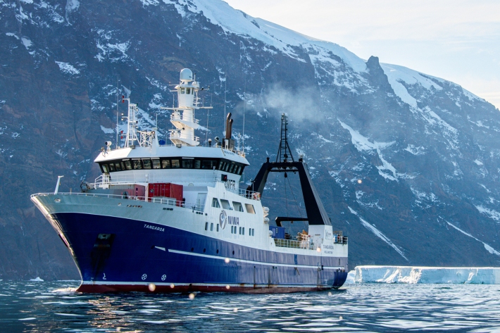
CASAL
CASAL is an advanced software package developed by NIWA for fish stock assessment. -
Our partners & funders
NIWA has working relationships with hundreds of organisations in New Zealand and overseas. -
Organisational sustainability
NIWA's goal is to provide the science to help New Zealanders transition to a sustainable future. -
Blogs
Follow NIWA's scientists as they explore the natural world, make new discoveries and share how people use their science. -
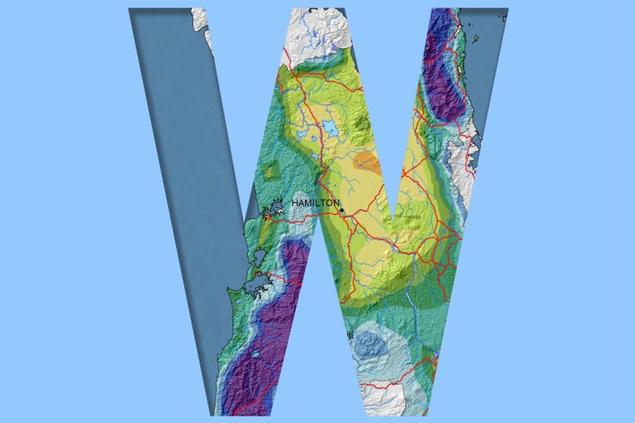
Waikato
Waikato exhibits a range of climates due to the variety of landscapes in the region. -

NOAA Satellite data
Like the GMS satellite, the NOAA Series of polar orbiting satellites (operated by NOAA, the US National Oceanic and Atmospheric Administration) are a component of the World Weather Watch meteorological satellite network. -
Tsunami
Education ResourceTsunami is a Japanese word meaning great wave in harbour. -
Map Sw North
Education ResourceBecause of its exposure to disturbed weather systems from the Tasman Sea, this climate zone is often quite windy, but has few climate extremes. -
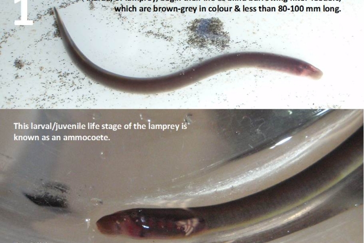
Restoration and enhancement of piharau / kanakana / lamprey
Research ProjectNIWA is leading a new six-year research project that seeks to increase our understanding of piharau/kanakana/lamprey, using Mātauranga Māori, social science and biophysical science approaches.