-

Other Climate data products
Short-term to long-term data estimation -
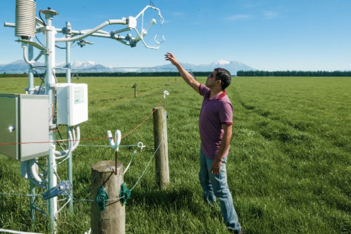
Farming and the primary sector
Farmers are making business decisions everyday which are influenced by environmental factors. We can help farmers to improve decision-making, mitigate farm environment risk, and to become more productive, efficient, competitive and sustainable. -
New map reveals New Zealand’s seafloor in stunning detail
News article06 June 2017 -

High Performance Computing Facility
FacilityThe High Performance Computing Facility (HPCF) is supercharging New Zealand science. -
Mean daily global radiation (Mj/sq m)
These datasets are available in a range of formats. -
Station details
Station height is in metres above mean sea level. Years of data are the number of complete years of data for the 1981 – 2010 period. -
Map Alpine
Education ResourceMountainous areas are subject to heavy snowfalls, high winds, and low temperatures. Semi-permanent snow and ice fields exist at about 1000-1100 metres during winter. -
New Zealand from space
This daily image of New Zealand from space was created using data from one of NASA's EOS satellites, collected at our receiving station in Lauder, Central Otago. -
Tuna
Tuna or freshwater eels are a very significant, widely-valued, heavily-exploited, culturally iconic mahinga kai resource. -
How can carbon emissions be weighed?
The mass of carbon emissions can easily be calculated. -
Trace gas datasets
ServiceNIWA makes a range of trace gas data freely available on our FTP site.