-

Tide Forecaster
ServiceNIWA's Tide forecaster provides tidal data for any point in New Zealand. -
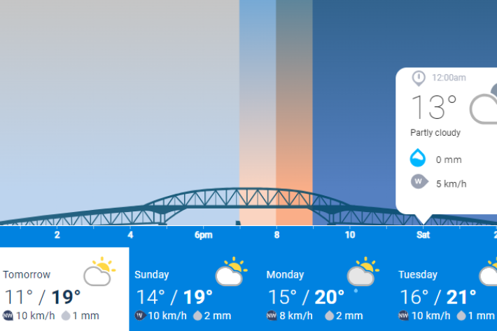
NIWA Weather
ServiceNIWA Weather is NIWA's public facing weather forecasting website. You'll find 2-day, hour-by-hour forecasts for locations across Aotearoa New Zealand, as well as forecast videos by our in-house meteorologists, animations showing rain forecasts, tide forecasts and NIWA's daily UV index. -
High Intensity Rainfall Design System (HIRDS)
ServiceHIRDS is a simple online tool that can estimate the magnitude and frequency of high intensity rainfall at any point in New Zealand. -
Cam-Era
ServiceCam-Era is a network of computer-controlled cameras that monitor the New Zealand environment for research and resource management. These are also useful for surfers and swimmers. -
Urban Runoff Quality Information System (URQIS)
ServiceNIWA's Urban Runoff Quality Information System (URQIS) provides planners, engineers and researchers with information about the quality of stormwater from different locations and landuses and under different flow conditions. -
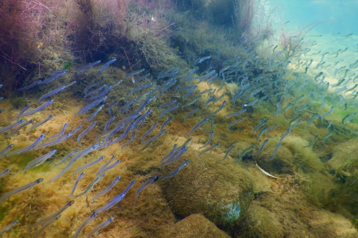
NZ Freshwater Fish Database
Software Tool/ResourceThe New Zealand Freshwater Fish Database (NZFFD) contains over 50,000 freshwater fish observations from across New Zealand from 1901 to the present. -
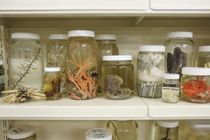
Earth Sciences New Zealand Invertebrate Collection
Software Tool/ResourceThe Earth Sciences New Zealand (formerly NIWA) Invertebrate Collection (NIC) holds specimens from almost all invertebrate phyla. This is a result of about half a century of marine taxonomic and biodiversity research in the New Zealand region, the South West Pacific and the Ross Sea, Antarctica. -
National Climate Database
Software Tool/ResourceDataHub is an interface that provides access to New Zealand's National Climate Database. -

Vessels
NIWA's vessels are world-class environmental monitoring and research platforms. -
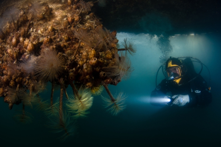
Marine biosecurity
ServiceIntroduced pests and diseases can harm the health of Aotearoa New Zealand's marine ecosystems, our seafood industry, and the social and cultural benefits that we derive from the sea. -
Extreme coastal flood maps for Aotearoa New Zealand
ServiceDecisions about how we adapt to sea-level rise need to be based on information about our exposure to coastal flooding. -
All-Sky images
ServiceThe all-sky image shows a hemispheric view of the sky at Lauder.