-
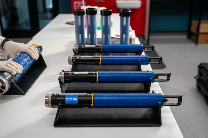
NIWA Datasonde service
ServiceMaintaining good water quality is important for healthy ecosystems and healthy humans. NIWA are experts in providing and servicing the water quality monitoring equipment you need to effectively monitor water quality in lakes, streams, coastal waters and estuaries. -

NIWA can help you leverage updated climate projections
ServiceNIWA is using updated climate projections to help New Zealanders better understand climate-related risks. -
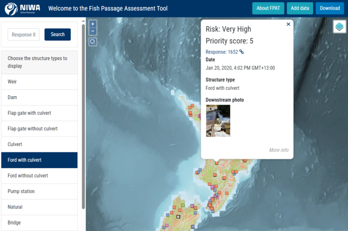
Fish Passage Assessment Tool
Software Tool/ResourceAn easy-to-use system for recording instream structures and assessing their likely impact on fish movements and river connectivity. -
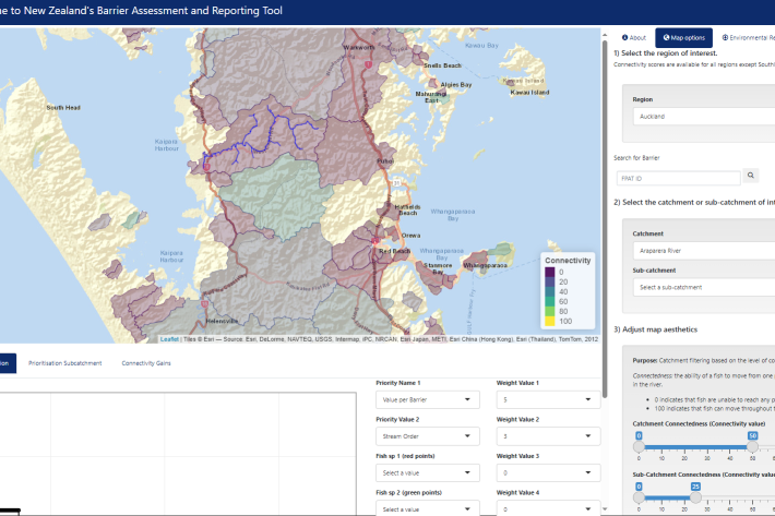
Fish Passage Barrier Assessment Reporting Tool (BART)
Software Tool/ResourceAn interactive webtool to support barrier prioritisation and fish passage environmental reporting. -
NIWA weather and climate information
Software Tool/ResourceFree sources of weather and climate information and data from NIWA. -

Climate stations statistics
ServiceNIWA generates ‘Statistics’ from Climate Station Observations collected as part of our Climate Station Network. -

Climate station normals
ServiceNIWA generates ‘Normals’ from Climate Station Observations collected as part of our Climate Station Network. -
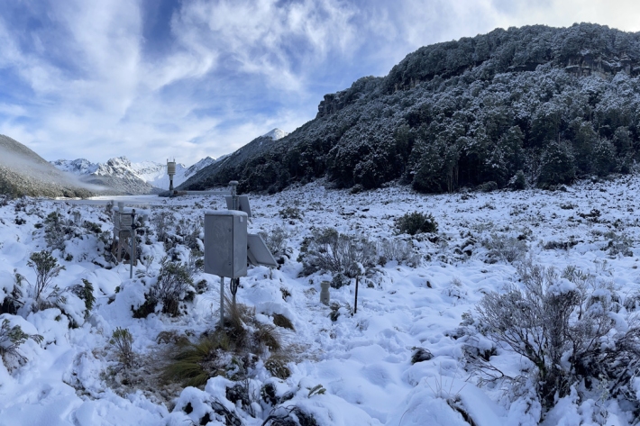
National Climate Network
ServiceSituated around New Zealand and the Pacific are climate and weather monitoring stations numbering over 1200. -
NIWA35 data request form
ServiceObtain NIWA35 forecast data from NIWA. -
Weather and climate forecasting services
Whether you need weather or climate information six hours, days or months out, our accurate forecasts can help you with operational requirements and decision making. -
UV and Ozone
ServiceThis is the home for NIWA's UV and ozone research, including maps and graphs showing daily predictions and measurements for UV levels across New Zealand. -
UV Index
ServicePlots of today's UV index are available in graphical form for Auckland, Wellington, Christchurch, Lauder and Invercargill.
