-
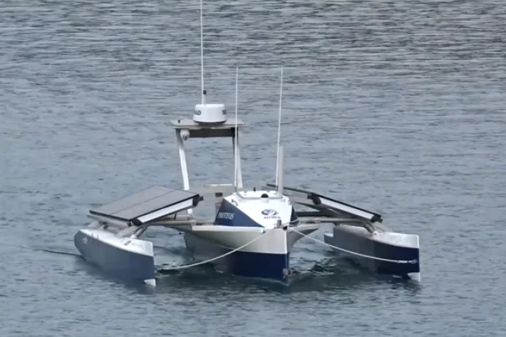
Autonomous vessels
ServiceFisheries researchers combine technologies to collect more data at a lower cost. -
Aquaculture physiology
ServicePhysiological research is particularly important when developing new species in aquaculture, but also for well-established farmed species to further improve production and welfare. -

Daily CO2 measurements from NIWA’s atmospheric monitoring station at Baring Head
ServiceDaily CO2 measurements from NIWA’s atmospheric monitoring station at Baring Head. -

Climate Change Adaptation Toolbox
ServiceThis Toolbox helps you find out about the changing climate, what it might mean for your business, organisation or community. -
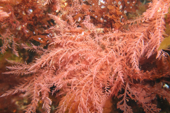
Algae production
ServiceNIWA is working on macroalgae and microalgae with a wide range of stakeholders, government agencies, current clients and potential partners. -
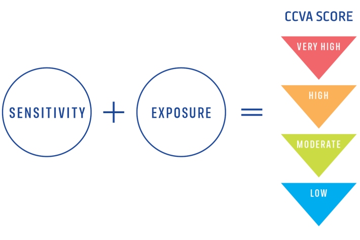
Climate Change Vulnerability Assessment (CCVA)
ServiceTo prepare for changes in climate, our freshwater and oceans decision-makers need information on species vulnerability to climate change. -

Algal monitoring service
ServiceBlooms of hazardous cyanobacteria (blue-green algae) in rivers, lakes and reservoirs can cause problems for both animal and human health. -
Environmental Information Services
ServiceNIWA collects and manages significant amounts of New Zealand's environmental data, particularly in the climate, freshwater, marine and atmosphere domains. -

Trace gas datasets
ServiceNIWA makes a range of trace gas data freely available on our FTP site. -
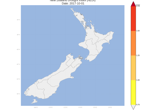
New Zealand Drought Monitor
ServiceThe New Zealand Drought Monitor is a system for keeping track of drought conditions across New Zealand based on a standardised climate index.