-

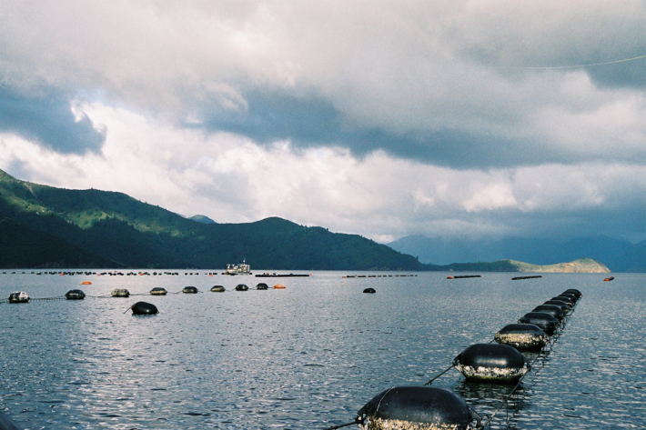
eHarvest
Software Tool/ResourceNIWA provides a real-time monitoring and reporting service to various sectors of the New Zealand Shellfish Industry. -

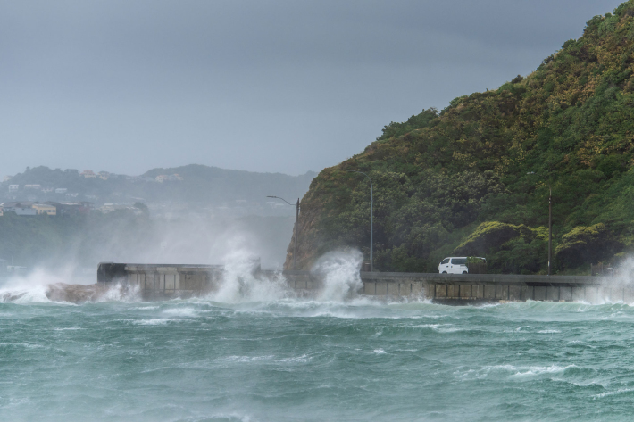
Storm-tide red-alert days 2026
ServiceStorm-tide red alerts mark the highest king tides, crucial for emergency and coastal hazard managers to monitor. -

Marine carbon
ServiceNIWA has the expertise, facilities and vessels to conduct research on marine carbon around the New Zealand Exclusive Economic Zone, and from the South Pacific to Antarctica. -

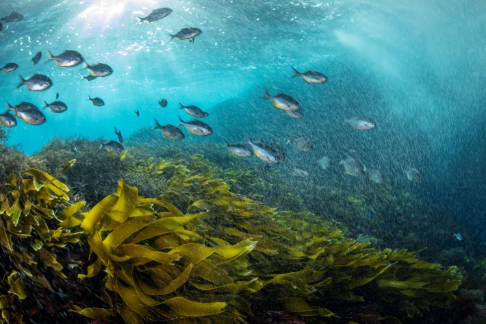
Swathcam
ServiceNIWA’s underwater camera system providing crystal clear visibility -

RotoTurf Suitability Decision Tool
Software Tool/ResourceA tool to support decision-making on the suitability of RotoTurf for your waterbody -

Te Ukaipo o Hinemoana
An online mapping tool for Aotearoa's coastal and marine environment -

RotoTurf Macrophyte Species Selector
Software Tool/ResourceA tool to select aquatic plant species that will support restoration of degraded freshwater. -

Stable Isotope Analytical Facility
ServiceNIWA's state of the art Stable Isotope Mass Spectrometry (IRMS) facility supports our research and commercial analyses, providing tailor-made solutions for various environmental and atmospheric questions. -

Storm-tide red-alert days 2025
ServiceStorm-tide red alerts mark the highest king tides, crucial for emergency and coastal hazard managers to monitor. -

Shallow groundwater screening tool
Software Tool/ResourceA risk screening tool that identifies the presence-absence of shallow groundwater. -

Climate Station daily/hourly data
ServiceNIWA collects daily/hourly data as part of the Climate Station Network. Parameters vary station to station. -

Climate Station raw data (10 min)
ServiceNIWA collects and generates as part of its Climate Station Network observational data in “10 min” format (data reported in 10 minute intervals).
