-
Earthquake’s Unseen Impact
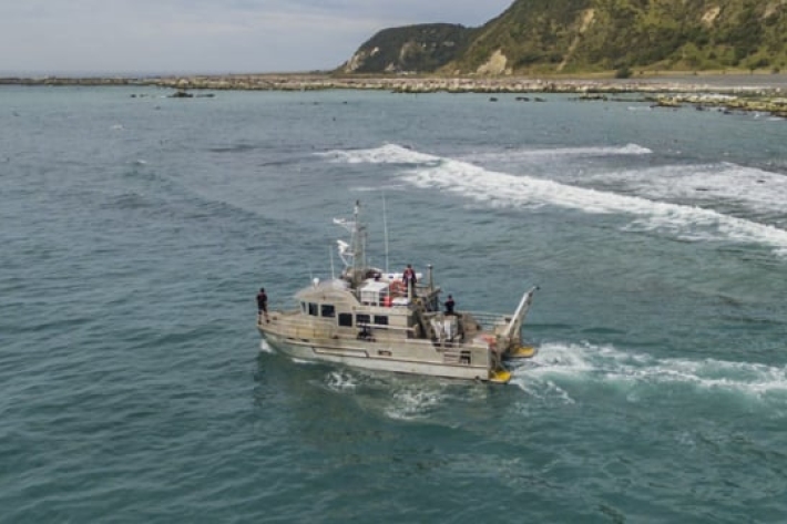
NIWA scientists on board RV Ikatere have been surveying the coastal area around Kaikoura for the first time since November's magnitude 7.8 earthquake. -
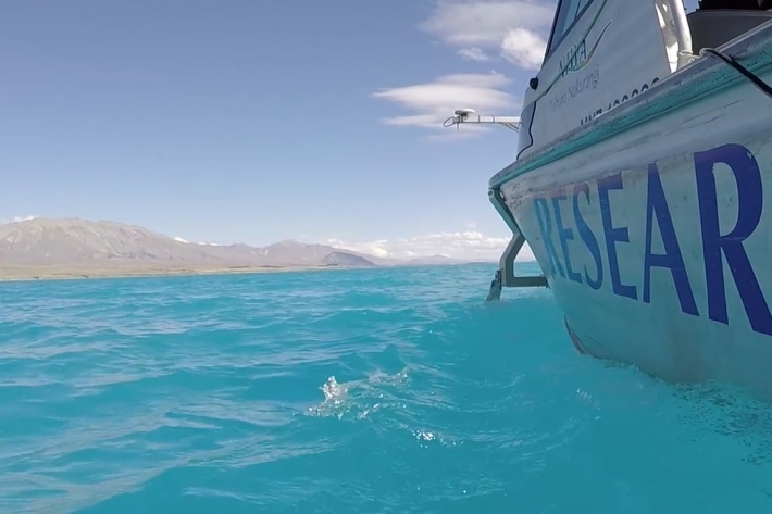
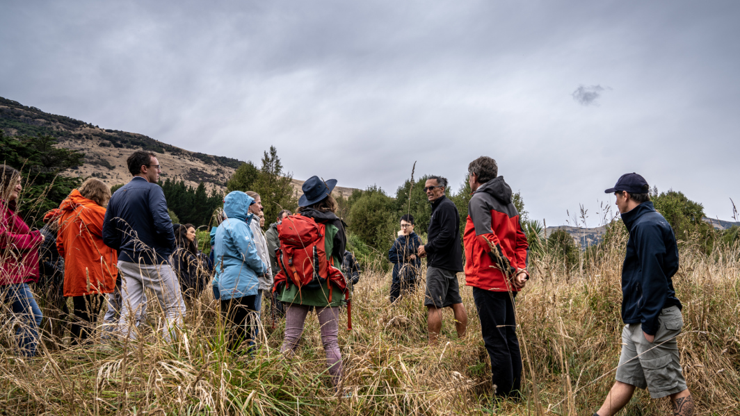
Lake Tekapo - a tsunami hazard?
NIWA scientists scan Lake Tekapo with the aim of finding out if submarine landslides can create a tsunami hazard for the Lake Tekapo township and hydropower infrastructure. -

NIWA launches high resolution flood forecasting
Feature story29 October 2015There was a common factor in the floods that hit swathes of New Zealand midway through this year – they were all forecastable. -
NIWA staff profile: Rob Bell, the duke of hazard
Feature story19 October 2015Rob Bell is happiest occupying the high ground. With a 35-year career in researching, modeling and monitoring natural hazards, such as king tides, coastal inundation, storms and tsunami, he knows that elevation from coastal margins is the only true protection from a potentially turbulent future. -

Building resilience to extreme weather events in the Pacific
Feature story02 September 2015Cyclone Pam’s furious flight path across the South Pacific in March this year illustrated the danger natural hazards pose to life, livelihoods and infrastructural development in the region. -
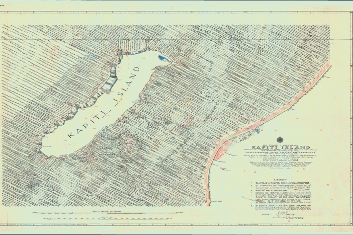
Revealing Kapiti Island's submarine landscape
Research ProjectWe are using modern techniques to map seafloor surrounding Kapiti Island, an area of significant cultural and environmental value to New Zealand. -
Is extreme weather the new normal?
News article24 March 2015New Zealanders have just experienced one of the driest summers on record – great for beachgoers and cricket lovers, but far from ideal for farmers and orchardists relying on rain to maintain productivity. -
France, New Zealand co-operate for a better future for a Samoan village
Media release25 August 2014A unique pilot project to help Samoa’s largest village better cope with natural disaster is the focus of an upcoming exhibition at the Museum of Samoa timed to coincide with a major United Nations conference in Apia. -
New Zealand facing greater weather extremes: international report
News article31 March 2014New Zealand will get hotter, have more heavy rainfalls, and experience more days when the fire risk is extreme, the latest international report on climate change impacts reveals. -
Scientists helping to create safer communities
News article21 October 2013 -
Scientists assess earthquake potential of faults close to West Coast
News article03 September 2013
