-
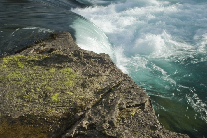
River forecasting: capabilities versus user requirements
Research ProjectCurrently there are gaps in understanding of user decision making processes and public needs and requirements for river forecasting in New Zealand. This project aims to bridge NIWA river forecasting aspirations and capabilities with both the public and decision makers’ requirements. -
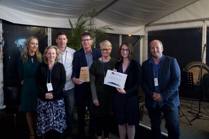
NIWA joint winner of 2018 Terry Healy Coastal Project Award
Media release27 November 2018A trio of lead authors from NIWA has been named alongside the Ministry for the Environment and others as joint winner of the 2018 Terry Healy Coastal Project Award. -
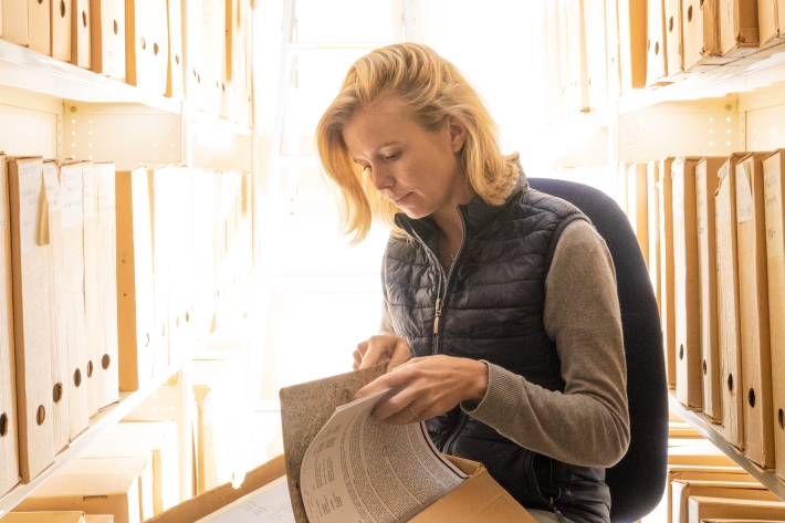
Volunteers needed to unlock historic weather secrets 30 October 2018
Media release30 October 2018NIWA climate scientists are calling for volunteers to unearth weather secrets from the past – including those recorded by members of Captain Robert Scott’s doomed trip to the South Pole in 1912. -
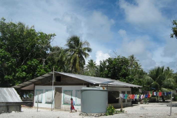
Marshallese benefit from new RiskScape drought tool
Feature story17 October 2018Inhabitants of the Marshall Islands may not be able to avoid drought, but thanks to a new tool co-developed by NIWA they can now plan ahead to better manage water resources when the big dry looms. -
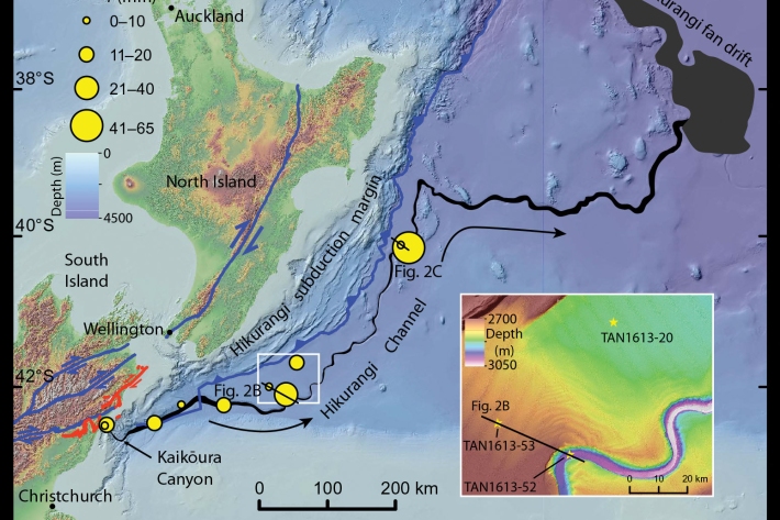
Kaikōura earthquake provides world-first insight into submarine canyons
Feature story17 October 2018Research conducted after the 2016, 7.8 magnitude Kaikōura earthquake has provided scientists with an extremely rare opportunity to understand the processes that shape submarine canyons. -
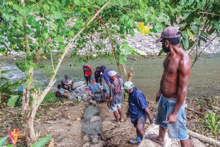
Solutions: Early warning of PNG floods
Feature story16 October 2018NIWA has completed a project that aims to help build community resilience against flooding in the Bumbu River and contribute to improving Papua New Guinea’s disaster preparedness in the face of increasing climate-related disasters. -
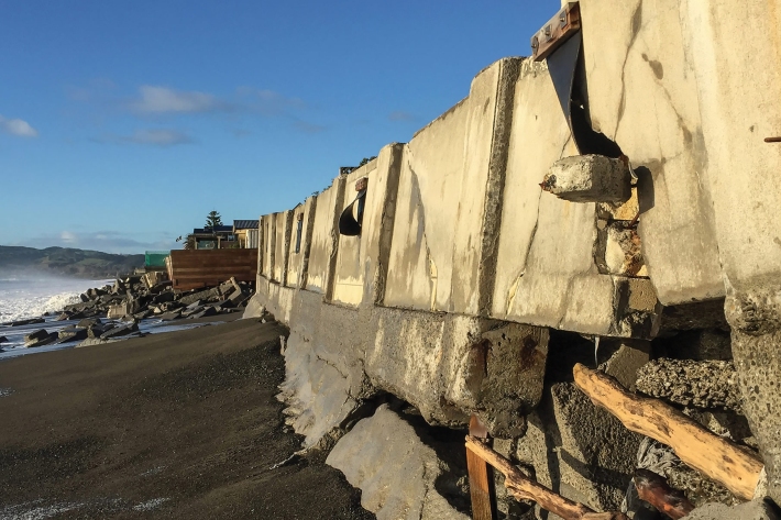
A say on the sea shore
Feature story16 October 2018Coastal communities around New Zealand are getting a say on how to respond to sea-level rise, and NIWA is helping them. -
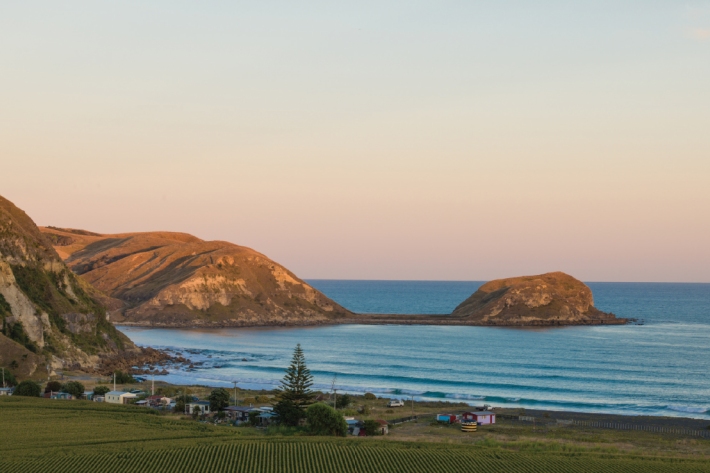
Te Huringa ki te Rangi – He Rautaki Tāwariwari
Te Huringa ki te Rangi is a decision-making model to support indigenous and coastal communities. -

Councils get help to prepare for sea-level rise
Media release18 July 2018A senior NIWA scientist is concerned many councils are having difficulty “getting off the starting blocks” when it comes to planning for coastal climate change. -

Lake Tekapo study raises awareness of tsunamis in NZ lakes
Media release12 June 2018A pilot project has provided the most advanced mapping of a New Zealand lake ever and highlights the hazard to lakeside towns of tsunamis caused by landslides. -
NIWA urges farmers to prepare for climate change
Media release06 June 2018NIWA is encouraging farmers to plan for climate change so they can maximise their abilities to adapt and thrive as significant change begins to take place. -
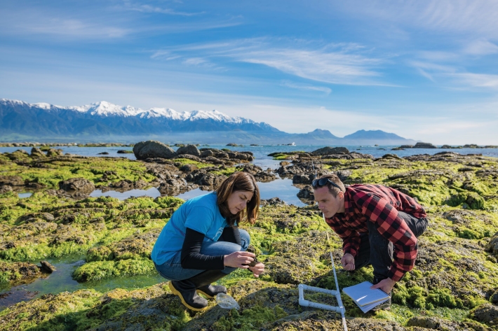
Drones watch quake aftermath
Feature story19 April 2018NIWA scientists like Leigh Tait were saddened by the human impact of the 2016 Kaikoura earthquake, but he also says that it provided a “massive natural history experiment”.

