-
Common climate and weather terms
Education ResourceA glossary of common climate change and meteorological terms. -

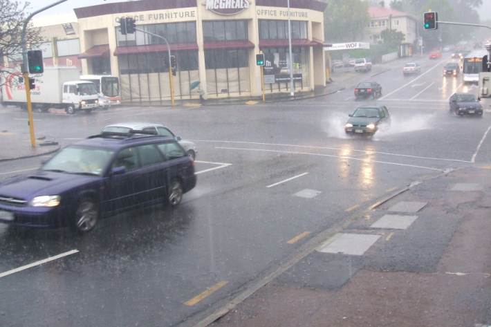
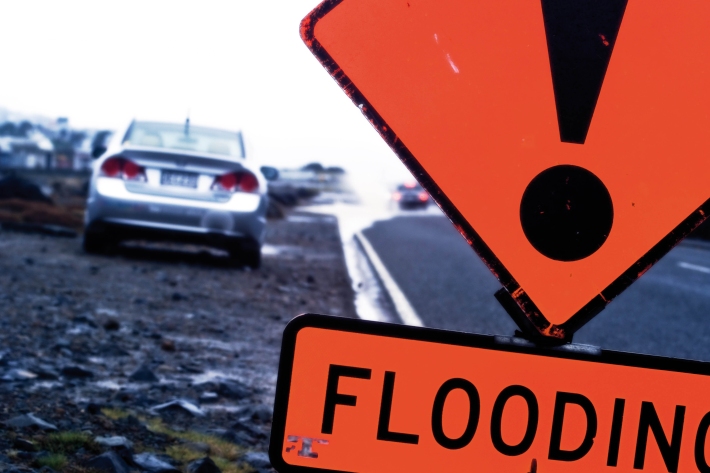
Floods
Education ResourceRiver floods occur when water spills from a river channel onto land that is normally dry, and are one of New Zealand's costliest natural hazards. -
Stormwater - an introduction
Stormwater poses risks to NZ’s urban streams & coastal waters, affecting ecological health & the cultural, social, & economic value of these environments. -
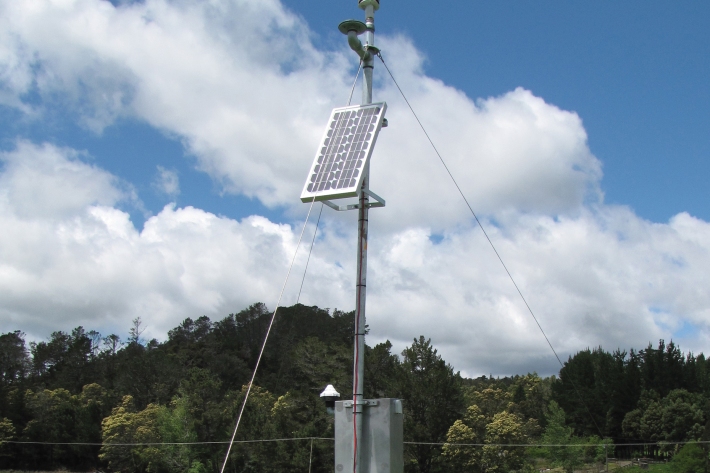
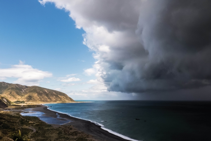
Climate and weather
Information about climate and weather and links to climate-related websites. -
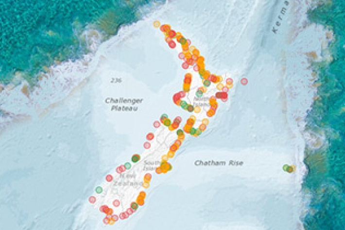
New database sheds light on prehistoric tsunamis affecting New Zealand
Media release31 May 2017The scientific records of palaeotsunamis to have affected New Zealand shores can now be accessed in a new one-stop information shop. -
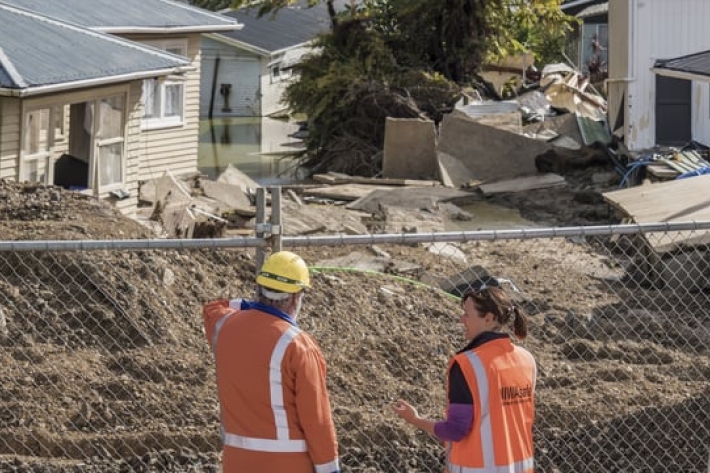
Scientists go door-to-door in Edgecumbe collecting flood information
Media release26 April 2017Scientists will be knocking on doors in Edgecumbe next week seeking to survey the damage done to buildings from recent flooding caused when a stopbank on the Rangitaiki River breached. -
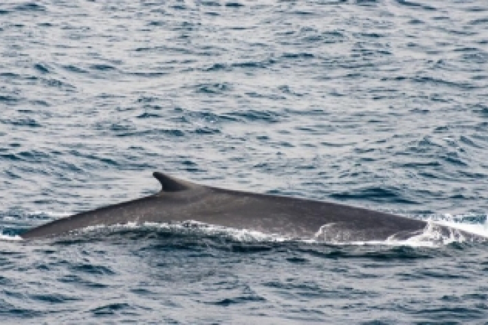
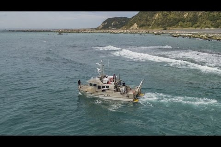
Unique research records rare whale species in Cook Strait
Media release29 March 2017The sounds of whales and dolphins rarely seen in New Zealand waters have been recorded by a NIWA scientist in a pioneering underwater sound project. -
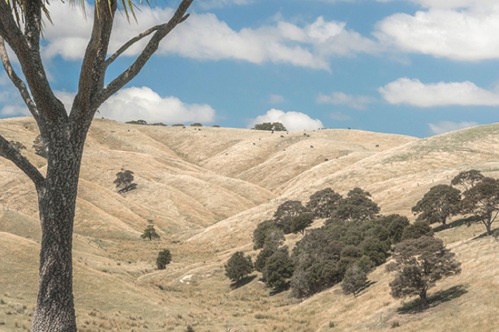
NIWA launches New Zealand Drought Index - a one-stop drought monitor
Media release24 March 2017A new tool to monitor drought conditions across New Zealand has been launched today by NIWA. -

Recording underwater biodiversity after earthquakes
-
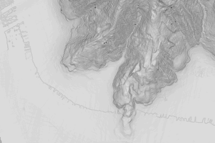
Massive mudslides in Kaikōura Canyon destroy seabed life
Media release27 February 2017Huge mudslides from November’s earthquakes have wiped out all organisms living in the seabed of the Kaikōura Canyon.