-
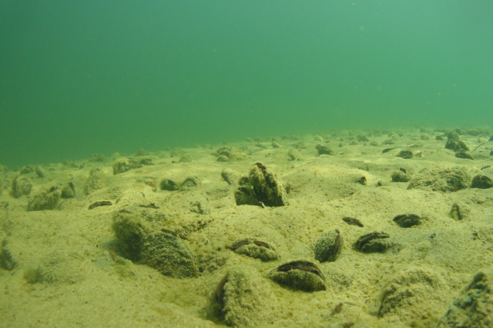
Mussel farms may benefit the environment
Media release13 June 2023A new study is doing a deep dive into whether mussel farms could help reduce nitrogen in New Zealand waters. -
Identification of significant ecological areas for the Otago coastal marine area
News article12 June 2023Long-term protection of Otago’s coastal habitats took a step closer to reality after more than 100 marine Significant Ecological Areas were identified. -

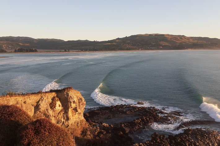
New maps reveal places at risk from sea-level rise
Media release25 May 2023New maps from NIWA and the Deep South National Science Challenge show areas across Aotearoa New Zealand that could be inundated by extreme coastal flooding. -
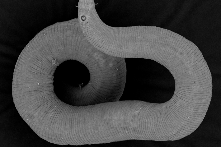
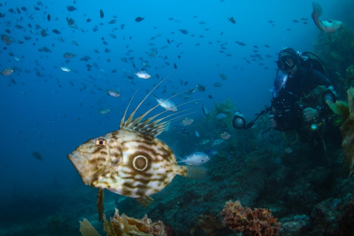
NIWA discovers over two dozen new marine species in Wellington inlet
Media release24 April 2023Researchers have discovered 26 species of roundworms that are completely new to science. -
Online atlas provides understanding of marine life and habitats
Media release09 March 2023Researchers have developed New Zealand’s most comprehensive online atlas, providing an overview of nearly 600 marine species. -
Preparing coastal communities for change
News article08 March 2023Our coastline is changing as sea levels rise. Lawrence Gullery looks at a five-year research programme designed to help communities with tough decisions ahead. -
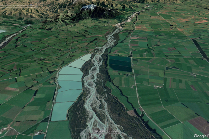
New Zealand streamflow depletion model: A tool for sustainable water resource management
As the concerns over water resources and the environment increase, the importance of combined water management, which acknowledges the integrated nature of groundwater and surface water, and manages them as a single resource, is critical to sustain both human society and aquatic and terrestrial ecosystems. -
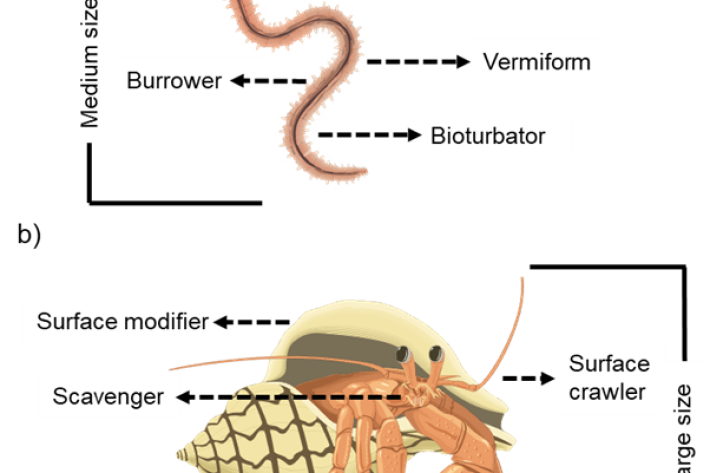
Biological traits
Software Tool/ResourceBiological traits analysis is a valuable tool for measuring ecosystem function -
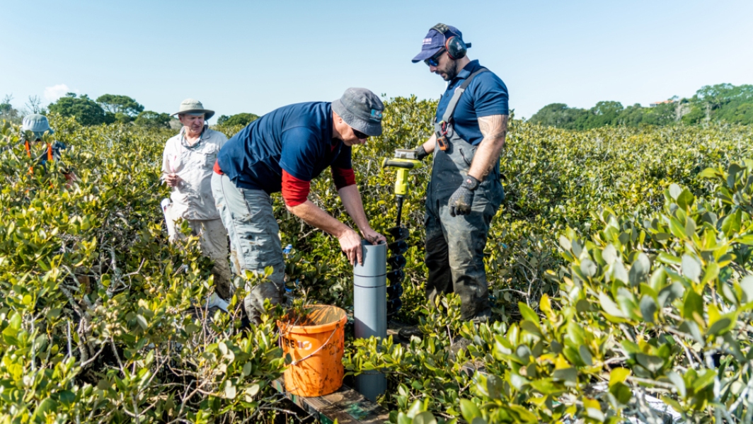
Research aims to quantify New Zealand’s Blue Carbon capacity of kelp seaweeds
Media release20 February 2023A research project co-led by Blue Carbon Services and NIWA will aim to provide New Zealand’s first national estimate of natural kelp-carbon sequestration in the marine environment. -
NZTD - The New Zealand Trait Database for marine benthic invertebrates
Software Tool/ResourceTraits are defined as the components of organisms that can be measured and have an effect on ecosystem functioning. Examples of traits include the behaviour, life history, morphology, and physiology characteristics -

New technology gives sea safety hopes
Media release27 December 2022Beachgoers could be safer thanks to a new technology with the potential to give real-time updates of rip currents. -

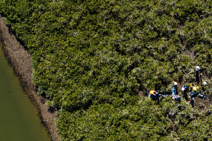
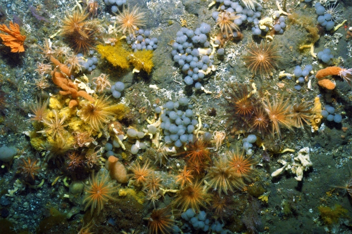
Reducing the impact on Hawke’s Bay’s marine environment
News article19 December 2022A study investigating the level of change needed to improve the state of Hawke’s Bay’s marine environment highlights the magnitude and frequency of interventions required for the seafloor ecosystem to recover.