A summer of floods and droughts, and very warm
|
Rainfall |
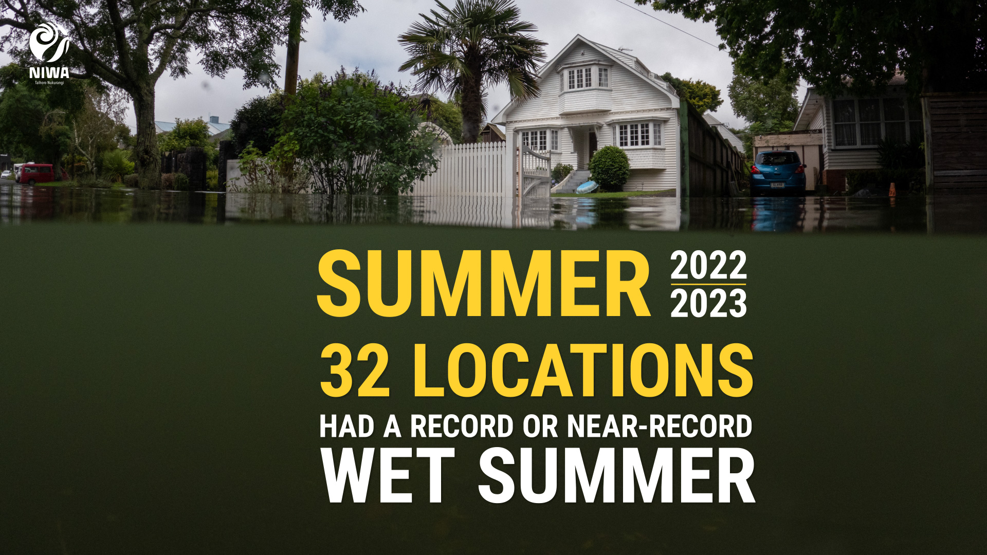
It was exceptionally wet for the North Island. Auckland, Northland, Bay of Plenty and Hawke’s Bay each had their wettest summer on record. Above normal (120-149% of normal) or well above normal (>149% of normal) rainfall was observed across most of the North Island, except for near normal rainfall in parts of the western North Island. In the South Island, rainfall was above normal (120-149% of normal) or well above normal (>149% of normal) for the northeast, but below normal (50-79% of normal) or well below normal (<50% of normal) across parts of the west and south, and near normal (80-119% of normal) elsewhere. |
|
Temperature |
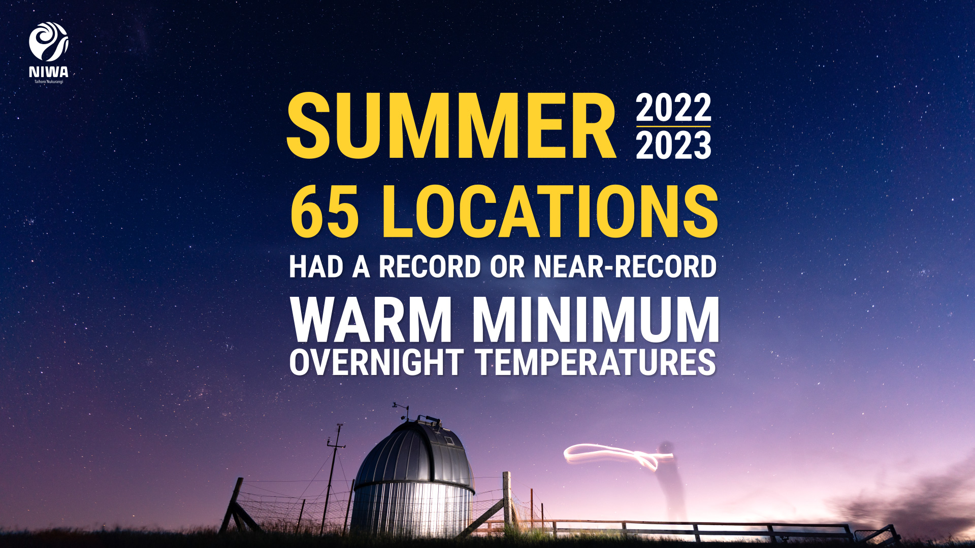
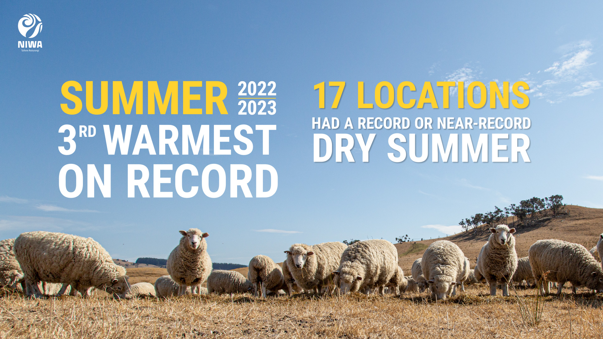
It was the third-warmest summer on record. Summer temperatures were above average (0.51-1.20°C above average) or well above average (>1.20°C above average) across the west and south of the South Island, as well as parts of the western North Island. Near average temperatures (±0.50°C of average) were observed elsewhere. No areas observed below average temperatures. |
|
Soil moisture |
At the end of summer, soil moisture levels were well above normal across the North Island, except near normal about patches of the west. In the South Island, well-above normal soil moisture levels were seen for mid and upper Canterbury, Kaikoura and eastern Marlborough, with well below normal soil moisture levels were seen across Southland, southern Otago, and the upper West Coast. Near normal soil moisture levels were observed elsewhere. |
Overview
Summer 2022-23 was characterised by contrasting weather extremes across Aotearoa New Zealand. It was exceptionally wet for the North Island. Auckland, Northland, Bay of Plenty and Hawke’s Bay each had their wettest summer on record. The Auckland region received over 5.5 times its normal summer rainfall and 63% of the entire annual normal based on an analysis from NIWA’s Virtual Climate Station Network (VCSN). Auckland, Northland, the Bay of Plenty, Gisborne, and Hawke's Bay in particular experienced a predominantly wet and cloudy season, marred by several bouts of extreme rainfall and devastating flooding, including an event where Auckland recorded over 280% of its January normal rainfall in under six hours. Meanwhile, the South Island endured extended periods of hot, dry, sunny weather. This led to some areas developing meteorological drought according to NIWA’s New Zealand Drought Index (NZDI), highlighting how this summer stood out for its remarkable climatic contrasts.
During summer 2022-23, two ex-tropical cyclones impacted New Zealand. The first one, named Hale, occurred on 10-11 January and made landfall in the North Island. The second, Gabrielle, occurred over 12-15 February and resulted in historic flooding, widespread destruction to agricultural, horticultural and viticultural lands, dozens of impassable roads, severe coastal erosion, the country’s third-ever national state of emergency declaration, and loss of life. See the Highlights and extreme events section for more details.
Typical of La Niña summers, higher-than-normal air pressure was observed to the east and south of New Zealand, with lower-than-normal air pressure to the north and west (Figure 1). This resulted in more easterly and northeasterly winds than usual, drawing in warm and humid air from the tropics and sub-tropics. Generally speaking, this partly explains why persistently wet and cloudy weather was experienced in northern and eastern parts of both Islands, with sunnier and drier conditions in the west and south of both islands.
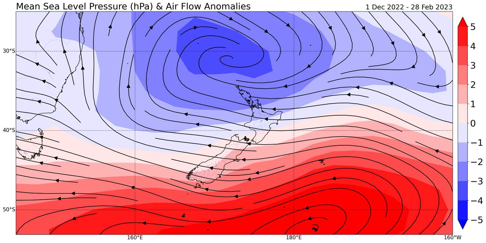
Figure 1: Mean sea level pressure (MSLP) and air flow anomalies during summer 2022-23. Blue colours indicate lower than normal MSLP, and red colours indicate higher than normal MSLP. [Data from NCEP Reanalysis/NIWA]
Exacerbating the warmth, humidity, and moisture availability to passing low pressure systems was a protracted marine heatwave (MHW) that peaked during January and rivalled the exceptional MHWs of 2017-2018 and 2021-2022. February sea surface temperatures (SSTs) were the warmest on record in the west and east of the South Island, and second-warmest on record in the north of the South Island.
The Southern Annular Mode[1] (SAM) was positive most of summer, but did dip negative during February, coinciding with the arrival of ex-Tropical Cyclone Gabrielle. A positive SAM during summer tends to be associated with belts of high pressure near the South Island, which matches what was observed during summer 2022-23.
[1] SAM is a proxy for measuring the strength and position of the belt of westerly winds that encircle the Southern Ocean, and can bring unsettled weather to New Zealand during its negative phase.
Frequent heavy rainfall events saturated soils across the North Island and caused several bouts of flooding, which was particularly severe about Northland, Auckland, Coromandel, the Bay of Plenty, Gisborne, Hawke’s Bay, and Wairarapa. Above normal (120-149% of normal) or well above normal (>149% of normal) rainfall was observed across the North Island, except for near normal rainfall about patches of the west. In the South Island, rainfall was above normal (120-149% of normal) or well above normal (>149% of normal) for the northeast, below normal (50-79% of normal) or well below normal (<50% of normal) across parts of the west and south, and near normal (80-119% of normal) elsewhere.
Summer temperatures were above average (0.51-1.20°C above average) or well above average (>1.20°C above average) across the west and south of the South Island, as well as parts of the western North Island. Near average temperatures (±0.50°C of average) temperatures were observed elsewhere. No areas observed below average temperatures.
Both December and January ranked as the tenth-warmest on record, while February ranked as the fifth-warmest. Summer 2022-23 as a whole was the third-warmest summer on record. The nationwide average temperature in summer 2022-23 was 17.9°C. This was +1.1°C above the 1991-2020 summer average from NIWA’s seven station temperature series which begins in 1909.
Further highlights for summer 2022-23:
- The highest temperature was 35.6°C, observed at Middlemarch on 4 February.
- The lowest temperature was -0.4°C, observed at Manapouri on 24 February.
- The highest 1-day rainfall was 316 mm, recorded at Tūtira (Hawke’s Bay) on 13 February.
- The highest wind gust was 150 km/h, observed at Mokohinau on 12 February.
- Of the available, regularly reporting sunshine observation sites, the sunniest four locations so far in 2023 are Central Otago (563 hours), West Coast (549 hours), Mackenzie Basin (545 hours), and Queenstown Lakes District (527 hours).
- Of the six main centres in summer 2022-23, Auckland was the warmest, wettest, and least sunny; Dunedin was the coolest, driest, and sunniest.
Download
Summer Climate Summary [PDF 760KB]
