-
Tides
Research ProjectOn this page, you can find information about tide forecasts, sea-level network, tidal model of New Zealand's EEZ, and red-alert days for coastal flooding. -

Link between insomnia and depression found at Science & Technology Fair
Media release15 October 2023A study looking at the impact of sleep on depression in adolescents was 18 months in the making for Ellen Thompson. -

Tide Forecaster
ServiceNIWA's Tide forecaster provides tidal data for any point in New Zealand. -
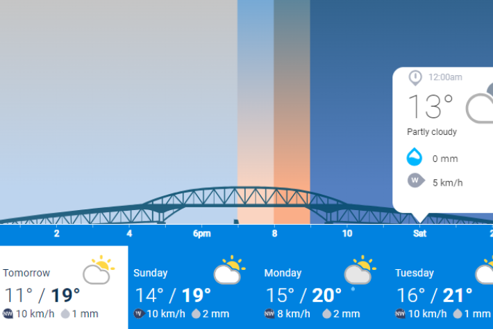
NIWA Weather
ServiceNIWA Weather is NIWA's public facing weather forecasting website. You'll find 2-day, hour-by-hour forecasts for locations across Aotearoa New Zealand, as well as forecast videos by our in-house meteorologists, animations showing rain forecasts, tide forecasts and NIWA's daily UV index. -

SolarView
This calculator estimates the solar energy that can be collected by a solar capture device (solar panel) at a given address, panel direction and roof slope. -
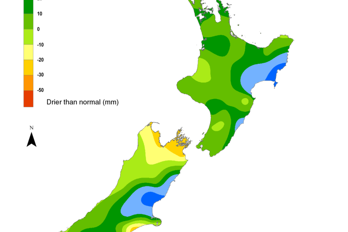
Hotspot Watch 13 October 2023
Hotspot12 October 2023A weekly update describing soil moisture patterns across the country to show where dry to extremely dry conditions are occurring or imminent. -
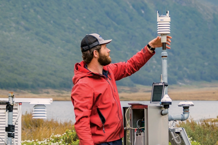
Environmental information
Monitoring, managing, and delivering environmental information from the sky to the sea. -
Operations Management Team
The Operations Management Team is responsible for the operational performance and effective delivery of NIWA's science, products, and services. -
Science Leadership Team
The Science Leadership Team is responsible for identifying and leading NIWA's research strategy, stakeholder management, and the development of services, products, and market opportunities. -

Executive Team
The Executive Team is responsible for NIWA-wide strategy and performance. -
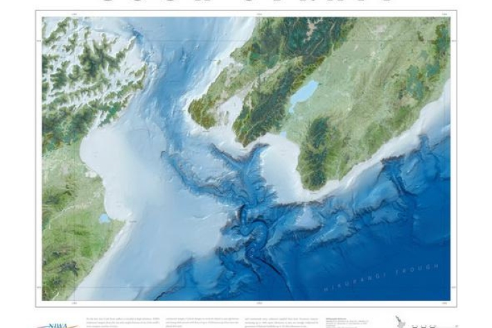
Charts and posters
NIWA posters, as well as bathymetry, sediment, and circulation charts. -
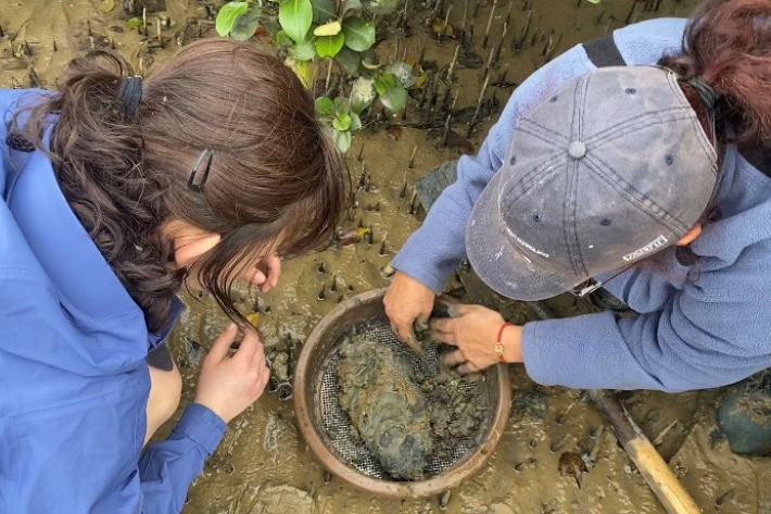
Months in the mud leads to NIWA Science Fair success.
Media release06 October 2023A Year 13 from Saint Kentigern College scooped top prizes at the 2023 NIWA South and East Auckland Science Fair for her project “Crab-a-dabra!".