-
Cam-Era
ServiceCam-Era is a network of computer-controlled cameras that monitor the New Zealand environment for research and resource management. These are also useful for surfers and swimmers. -
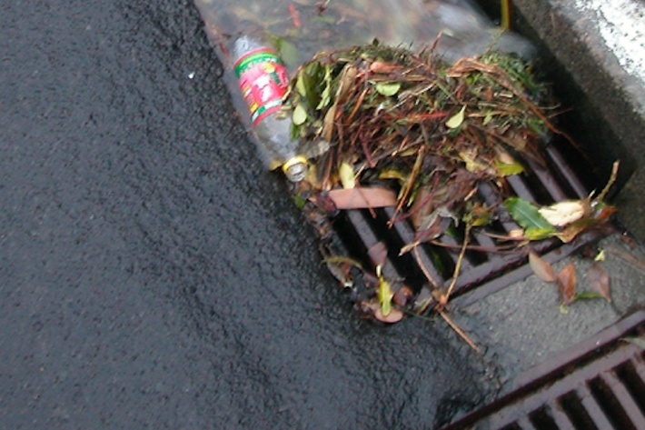
Urban Runoff Quality Information System (URQIS)
ServiceNIWA's Urban Runoff Quality Information System (URQIS) provides planners, engineers and researchers with information about the quality of stormwater from different locations and landuses and under different flow conditions. -
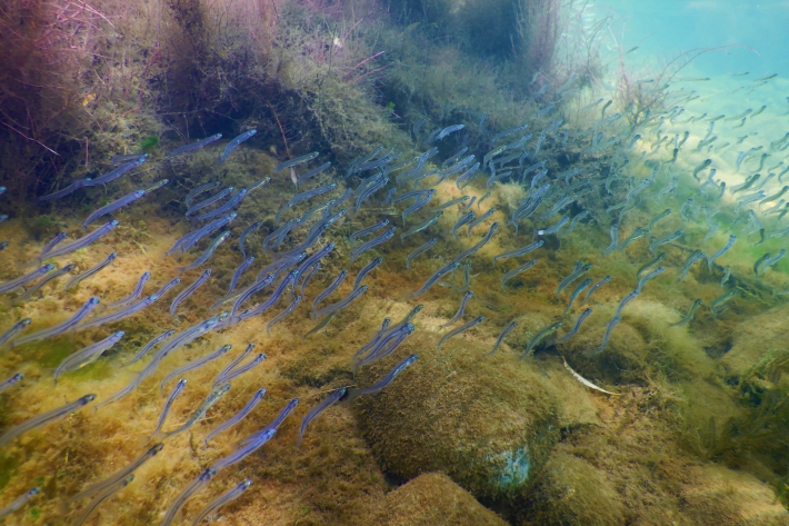
NZ Freshwater Fish Database
Software Tool/ResourceThe New Zealand Freshwater Fish Database (NZFFD) contains over 50,000 freshwater fish observations from across New Zealand from 1901 to the present. -
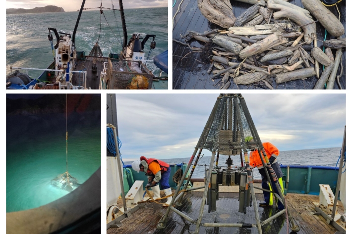
NIWA unravelling impacts on marine life after Cyclone Gabrielle
Media release03 October 2023NIWA are studying the ocean off Tairāwhiti and Hawke’s Bay to see how Cyclone Gabrielle has impacted the health of fisheries habitats and seabed ecosystems. -
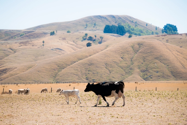
New tool revolutionising drought forecasts
Media release02 October 2023A newly launched tool developed by NIWA and the Ministry for Primary Industries (MPI) to predict dryness and drought will help farmers and growers be better prepared for challenging weather conditions. -
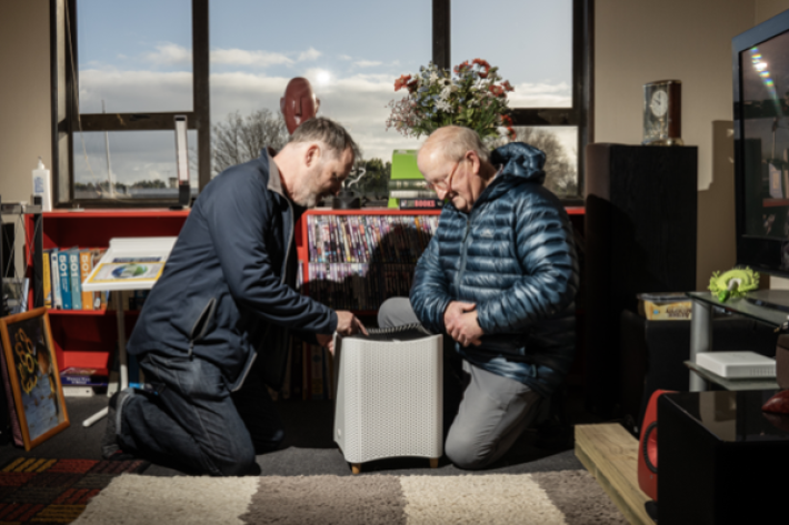
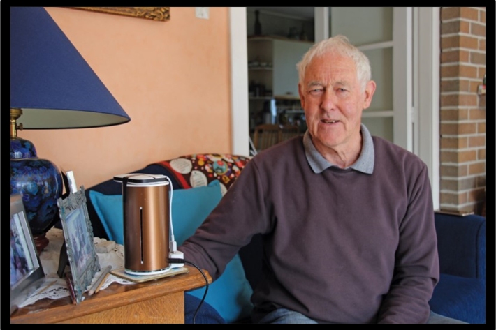
Air Action
Enabling householders and building managers to trial air quality solutions -
Air Aware: Learning experiences to build awareness about air quality
Learning experiences to build awareness about air quality -
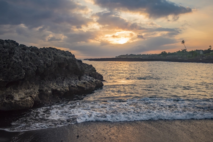
Coasts & Oceans
NIWA aims to provide the knowledge needed for the sound environmental management of our marine resources -

Year 11 wins big at Wellington NIWA Science Fair
Media release21 September 2023A Wellington College pupil claimed two top prizes at this year’s NIWA Wellington Science and Technology Fair.