-
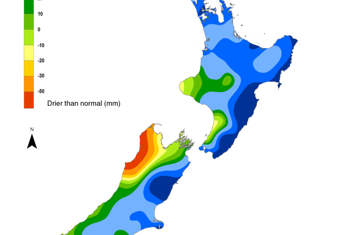
Hotspot Watch 10 March 2023
Hotspot10 March 2023A weekly update describing soil moisture patterns across the country to show where dry to extremely dry conditions are occurring or imminent. Regions experiencing significant soil moisture deficits are deemed “hotspots”. Persistent hotspot regions have the potential to develop into drought. -
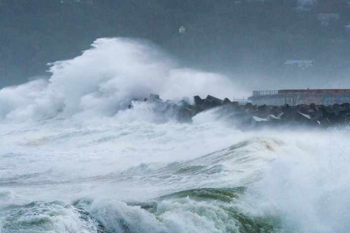
NIWA's Historic Weather Events website
Media release10 March 2023Our official statement in response to Ian Wishart's report about NIWA's Historic Weather Events Catalogue website. -

Online atlas provides understanding of marine life and habitats
Media release09 March 2023Researchers have developed New Zealand’s most comprehensive online atlas, providing an overview of nearly 600 marine species. -
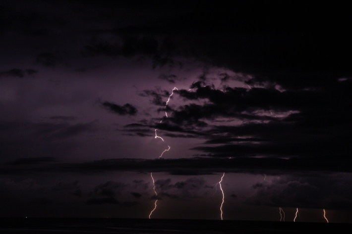
Climate & Weather
Understanding our variable and changing climate is critical for managing resources and reducing risks. -
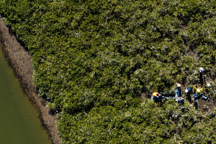
Preparing coastal communities for change
News article08 March 2023Our coastline is changing as sea levels rise. Lawrence Gullery looks at a five-year research programme designed to help communities with tough decisions ahead. -

Cultural Keystone Species
Freshwater Cultural Keystone (Taonga) Species such as tuna, kōura and kāeo/kākahi are central to the identity and wellbeing of many Māori communities throughout Āotearoa. For generations, these species have sustained communities and been vital in the transfer of customary practices and knowledge from one generation to the next. -

Our Partners and Funders
NIWA has working relationships with hundreds of organisations in New Zealand and overseas. Most of NIWA’s revenue is from contestable research funding and commercial consultancy work. -
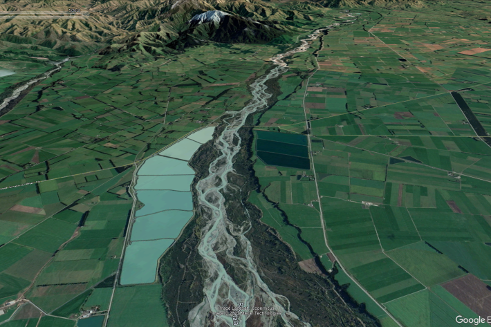
New Zealand streamflow depletion model: A tool for sustainable water resource management
As the concerns over water resources and the environment increase, the importance of combined water management, which acknowledges the integrated nature of groundwater and surface water, and manages them as a single resource, is critical to sustain both human society and aquatic and terrestrial ecosystems. -
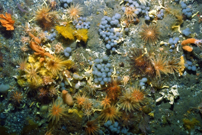
Biological traits
Software Tool/ResourceBiological traits analysis is a valuable tool for measuring ecosystem function -

Our mission
NIWA’s mission is to support the wellbeing of Aotearoa New Zealand’s people and businesses through improved management of the environment, sustainable use of natural resources, and effective responses to global change. -
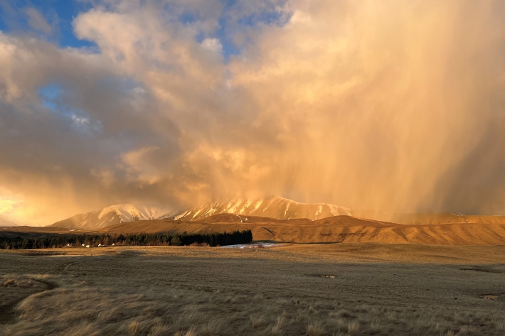
Our company
NIWA, the National Institute of Water and Atmospheric Research, is a Crown Research Institute established in 1992. It operates as a stand-alone company with its own Board of Directors and Executive.

