-
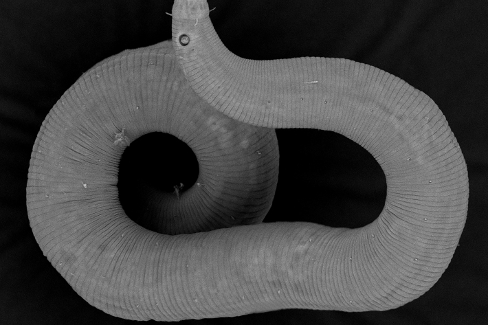
NIWA discovers over two dozen new marine species in Wellington inlet
Media release24 April 2023Researchers have discovered 26 species of roundworms that are completely new to science. -

NIWA undertakes post-Gabrielle seabed mapping in Hawkes Bay
Media release18 April 2023NIWA scientists will be in Hawkes Bay this week to map the seabed to measure the effects of Cyclone Gabrielle -
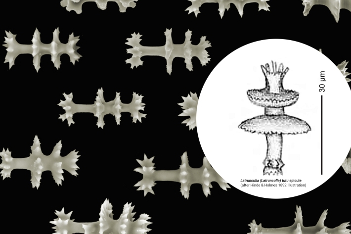
NZ “ballerina sponge” in top 10 new species list
Media release11 April 2023A fossilised sponge from New Zealand has been named as one of the top 10 new marine species of 2022. -

Further ice loss for NZ’s glaciers
Media release01 April 2023NIWA’s annual end-of-summer snowline survey has revealed continued loss of snow and ice for New Zealand’s famous glaciers. -
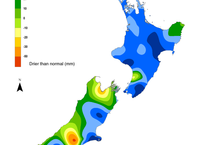
Hotspot Watch 31 March 2023
Hotspot31 March 2023This is the final Hotspot Watch for this season. The Hotspot Watch will return in the spring. -

All-Sky images
ServiceThe all-sky image shows a hemispheric view of the sky at Lauder. -
Contact us
NIWA has facilities across Aotearoa New Zealand. Find contact and location information below. -

Statement of core purpose
The Statement of Core Purpose spells out why the Government owns Crown Research Institutes and what it expects from them. -
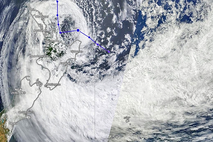
Climate change
Climate change effects are accelerating, driving the need for actions informed by sound climate knowledge. -
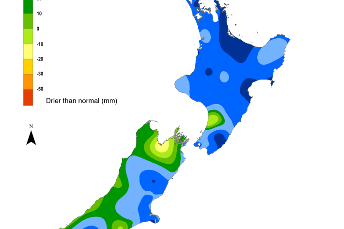
Hotspot Watch 24 March 2023
Hotspot24 March 2023A weekly update describing soil moisture patterns across the country to show where dry to extremely dry conditions are occurring or imminent. -
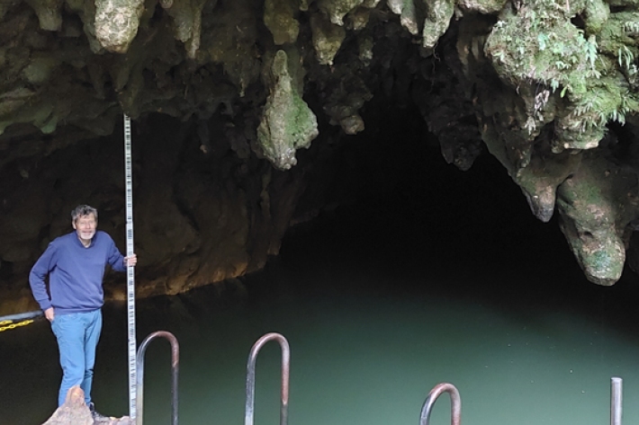
On the search for invaders
Media release24 March 2023Deep beneath Waitomo’s rolling hills lies a maze of caves and underground rivers. Here, NIWA researchers braved the dark waters to measure the current and hunt for fishy invaders under the twinkle of the cave’s magical glowworms. -
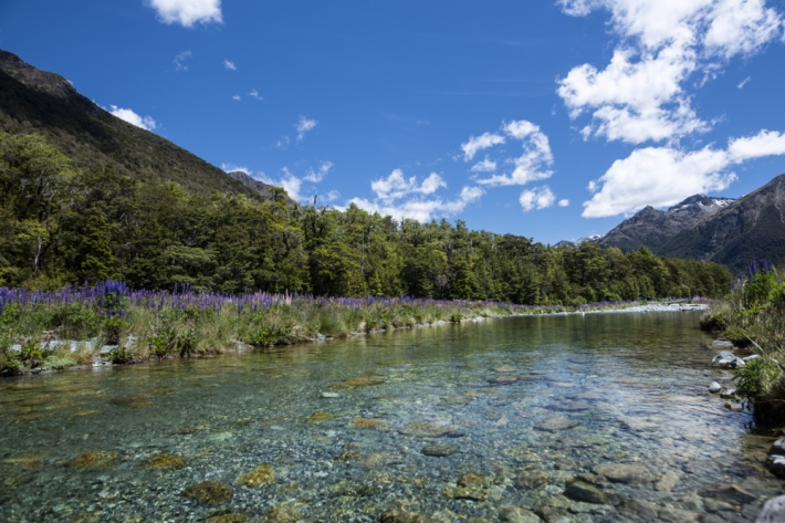
Dramatic changes in New Zealand river flows, research finds
Media release23 March 2023River flows in New Zealand have changed dramatically over the past 50 to 90 years as the climate has varied, a new study has found.
