-
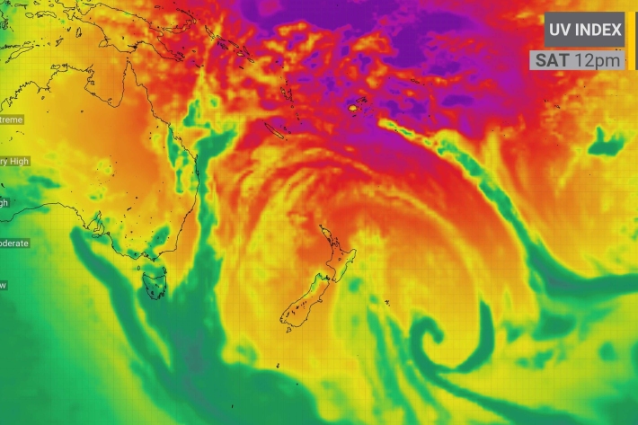
High UV prompts SunSmart warnings
Media release20 February 2023Ultraviolet (UV) radiation levels are averaging higher in 2022 compared to 2021, atmospheric scientists are warning. -
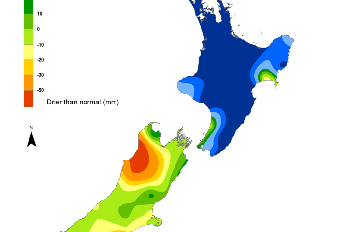
Hotspot Watch 16 February 2023
Hotspot16 February 2023A weekly update describing soil moisture patterns across the country to show where dry to extremely dry conditions are occurring or imminent. Regions experiencing significant soil moisture deficits are deemed “hotspots”. Persistent hotspot regions have the potential to develop into drought. -
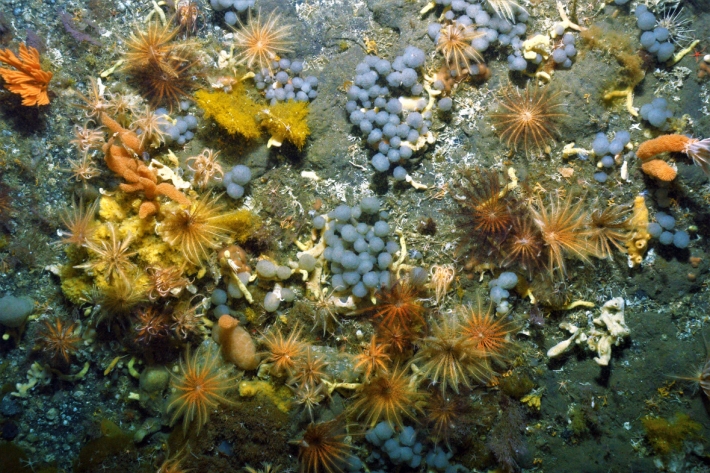
TAN2302 Voyage update 1
One of our main tasks for this voyage is to better understand the geographic distribution - biogeography - of Antarctic organisms in the western Ross Sea, from the frozen coast out onto the continental shelf at 500m deep. -
TAN2302 voyage update - 10 February 2023
We have now visited 23 separate sites in these coastal areas, albeit some of them very close together. Every time we visit a new site, we first need to map the seafloor as we are working in unchartered coastal waters. -
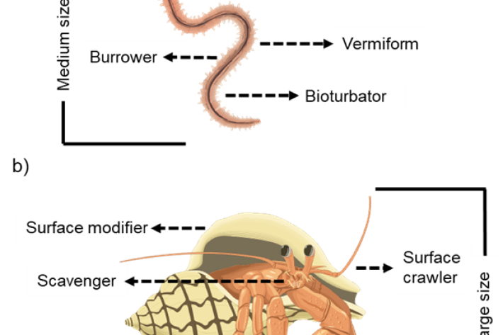
NZTD - The New Zealand Trait Database for marine benthic invertebrates
Software Tool/ResourceTraits are defined as the components of organisms that can be measured and have an effect on ecosystem functioning. Examples of traits include the behaviour, life history, morphology, and physiology characteristics -
Population modelling software Casal 2
Software Tool/ResourceCasal2 is an advanced software package developed by NIWA for modelling the population dynamics of marine species. -
![Image of mayflies [from NIWA Benthic Macroinvertebrates Field Identification Guide]](/sites/default/files/styles/card/public/2023-02/Mayfly-image-NIWA.jpg?h=999433cf&itok=sWBAlWU1)
Freshwater invertebrate identification and e-guides
Education ResourceDownloadable and printable guides on identification of common freshwater invertebrates found in New Zealand waterways and lakes. -
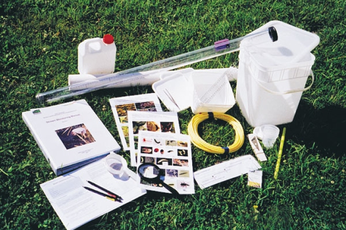
Stream Health Monitoring and Assessment Kit (SHMAK)
NIWA’s Stream Health Monitoring Assessment Kit (SHMAK) gives land owners, iwi, school and community groups simple, scientifically-sound tools and resources to monitor the ecological health of New Zealand’s streams. -
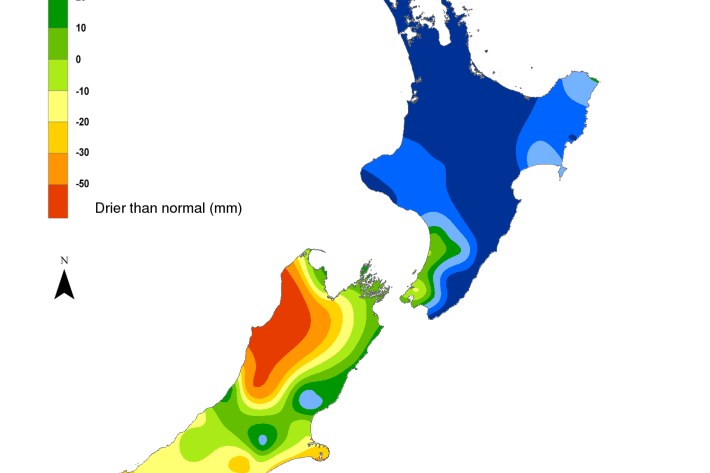
Hotspot Watch 2 February 2023
Hotspot02 February 2023A weekly update describing soil moisture patterns across the country to show where dry to extremely dry conditions are occurring or imminent. -
TAN2302 voyage update - 2 February 2023
We are now halfway through our Antarctic mission and the past two and a half weeks have been marked by feelings of excitement, anticipation, and trepidation. -
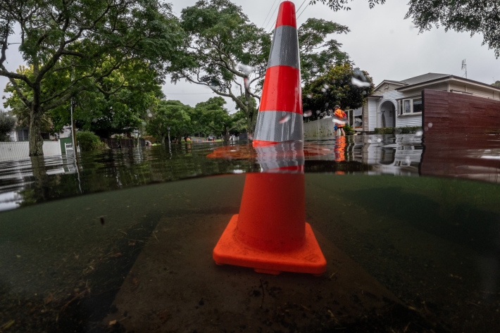
Auckland suffers wettest month in history
Media release02 February 2023January was Auckland's wettest month since records began, according to meteorologists. -

Mā te haumaru o ngā puna wai o Rākaihautū ka ora mō ake tonu
A NIWA-led research programme developing a system to map flood hazard consistently across the whole country.
