-

Forecasting impacts from extreme weather
Research ProjectThis project aims to establish connections between weather and river flow forecasting, inundation prediction and risks to people and assets. -
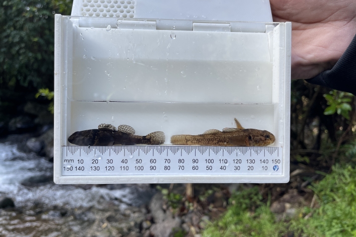
A 3D Printer is helping save New Zealand’s endangered native fish
Media release14 November 2023A 3D Printer is helping save New Zealand’s endangered native fish -
Learning support #2: Climate change, floods and adaptation choices
Education ResourcePlanning for climate change and flooding. -

Learning support #1: Extreme weather and climate change
Education ResourceWhen it rains it pours – extreme weather. -

Introduction - Township Flood Challenge Game
Education ResourceWelcome to the NIWA Township Flood Challenge game. -
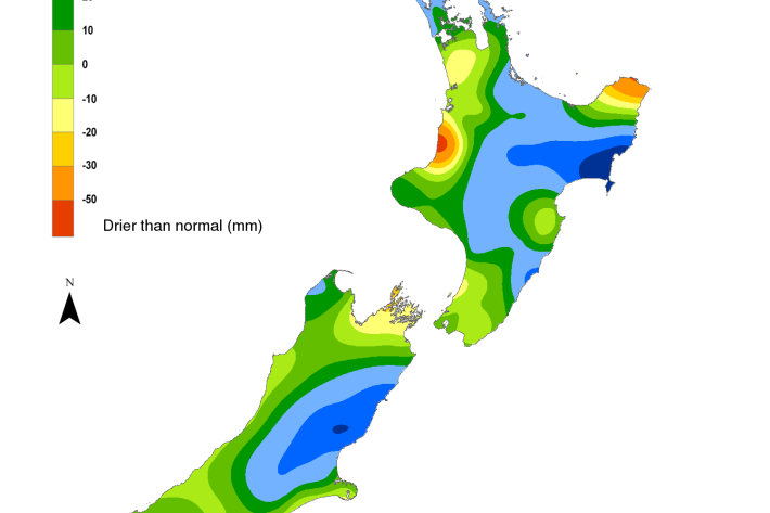
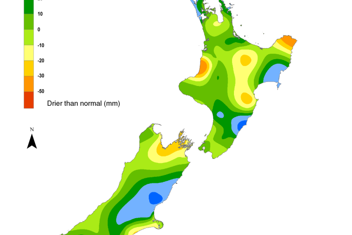
Hotspot Watch 10 November 2023
Hotspot10 November 2023A weekly update describing soil moisture patterns across the country to show where dry to extremely dry conditions are occurring or imminent. -
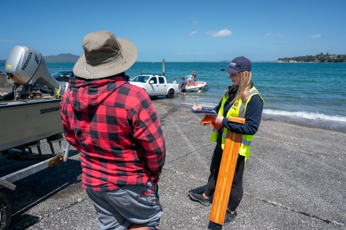
Recreational fishing
Research ProjectUnderstanding the trends in recreational fisheries is key to ensuring sustainable fisheries across the country. -

NatHERS climate files 2012 - data request
NatHERS climate files 2012 - data request webform -
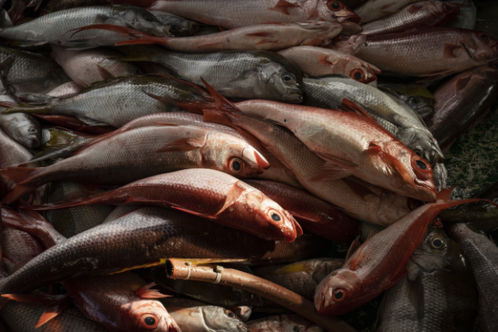
Improved sustainability of the demersal line fishery in Tonga
Research ProjectThe Tongan deepwater demersal line fishery is a valuable source of income, livelihood, and social well-being for the people of Tonga. The fishery has a history of boom-and-bust cycles with fluctuating catches and poor economic returns. -
Hotspot Watch 1 November 2023
Hotspot01 November 2023A weekly update describing soil moisture patterns across the country to show where dry to extremely dry conditions are occurring or imminent. -
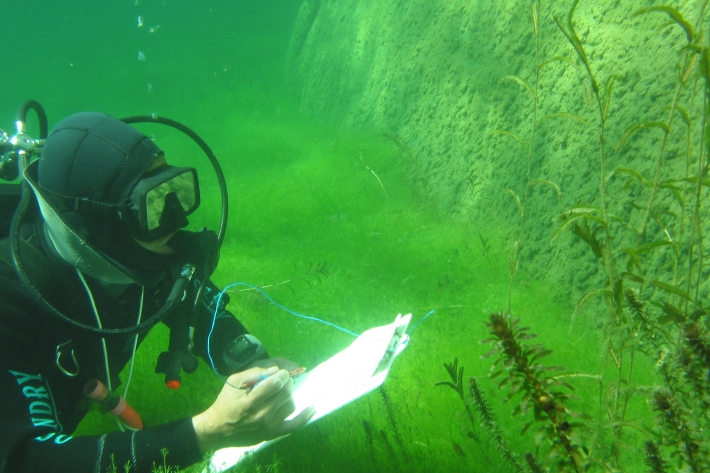
Freshwater biosecurity
Reducing the risk of new freshwater invasive species, minimising the impacts of these species, and developing methods for reducing or eradicating those populations.