-

Scientific Tools & Data
NIWA offers a diverse range of scientific tools and data to support research, analysis, education and exploration across various fields of science and environmental studies. -
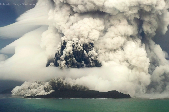
Tonga eruption caused fastest ever underwater flow
Media release07 September 2023The 2022 Tonga volcanic eruption triggered the fastest underwater flow ever recorded. -
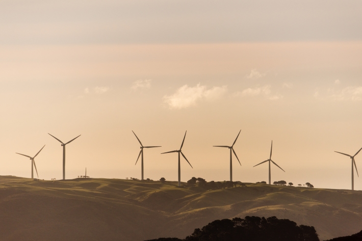
Energy
Over 80 percent of the electricity generated in Aotearoa NZ comes from renewable sources – wind, sun and water. Understanding the effects of our changing climate on our hydro lakes and wind and solar generation potential will help us increase renewable energy generation. -
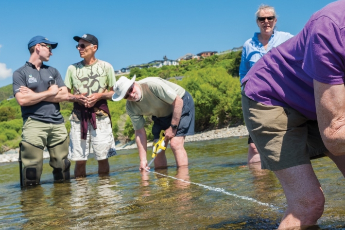
Citizen science
Increasing interest in citizen science is benefitting environmental monitoring. At NIWA, citizen data supplements professional data, meaning more data collection overall. -
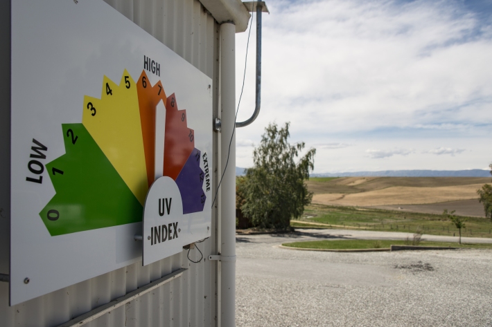
Early and long-lasting ozone hole, forecasts NIWA
Media release05 September 2023The Antarctic ozone hole typically reaches its greatest extent in September or October and disappears in November or December. -
Higher and drier – the cost of raising homes
Media release30 August 2023New research shows that in some cases, lifting houses may be a cost-effective way to reduce intermittent flooding risk. -
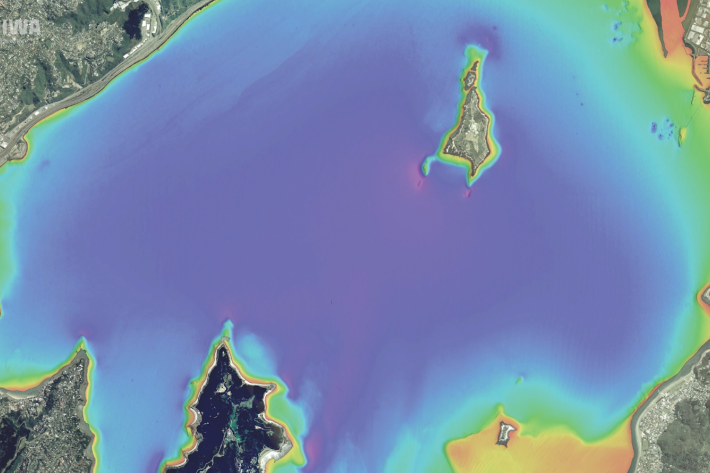
Wellington study could improve worldwide access to coastal freshwater
Media release28 August 2023A new NIWA study in Wellington Harbour will help scientists find untapped drinking water around the world. -
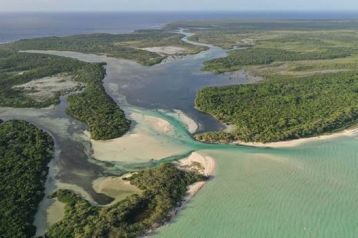
Pacific atoll mangrove forests losing ground to sea-level rise
Research ProjectMangrove systems on oceanic atolls may lose the race to keep pace with sea-level rise. -
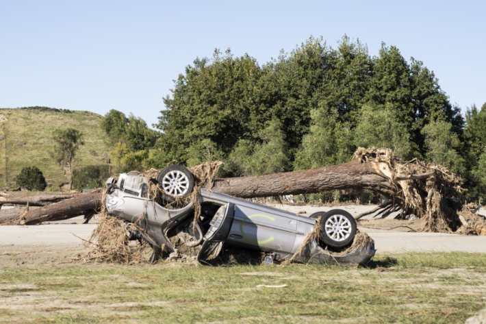
Extreme weather research gets a boost
Media release21 August 2023NIWA has launched a $5 million per year package of new projects aiming to tackle some of New Zealand’s most pressing challenges, including responding to and preparing for extreme weather events. -
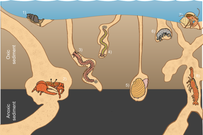
New creature catalogue compiled to aid conservation
Media release17 August 2023A new database describing marine species has been released to assist conservation. -

Government review of weather forecasting system
Media release31 July 2023– Statement by NIWA Chief Executive John Morgan

