-
Critter of the week
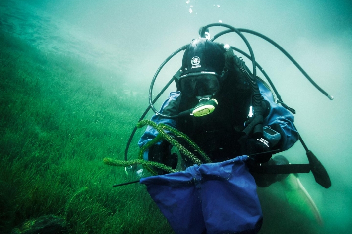
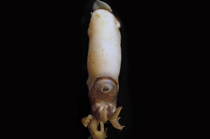
In this blog series, we feature a new critter from our expansive invertebrate collection including pictures of specimens in their unique habitat. The blogs also feature news, links and fun facts that showcase New Zealand’s fascinating marine fauna. -

CASAL
CASAL is an advanced software package developed by NIWA for fish stock assessment. -
Our mission
NIWA's mission is to conduct leading environmental science to enable the sustainable management of natural resources for New Zealand and the planet. -
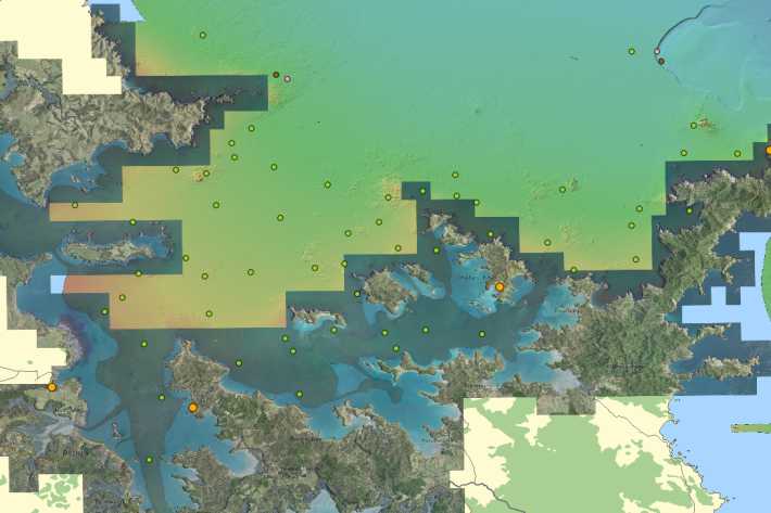
Mean monthly temperatures (°C)
These datasets are available in a range of formats. -
Assessment of crop and tree species growing potential using climate, soil and topographic information
Research ProjectThis project demonstrates how to assess high value alternative land-use options by means of a quantitative analysis of the growing potential of selected niche crops and tree species. -
Piharau
Piharau/kanakana are an important mahinga kai species and a prized delicacy for many Māori. -
QGIS
QGIS is a free, open source, desktop mapping tool, widely used in New Zealand in government, research, commercial and NGO arenas. -
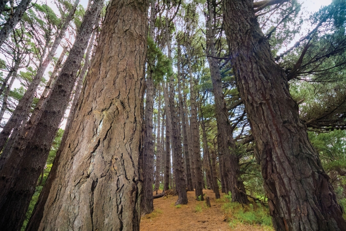
Native forests absorbing more carbon dioxide
Media release06 June 2017New Zealand’s forests and other land areas may be absorbing up to 60% more carbon dioxide than has been calculated, with much of this uptake likely occurring in native forests, NIWA scientists have discovered. -
Map South
Education ResourceMost of this climate zone is characterised by cool coastal breezes, and absence of shelter from the unsettled weather that moves over the sea from the south and southwest. -
What do we measure?
Research ProjectA range of physical and chemical variables are measured in the NRWQN.