-

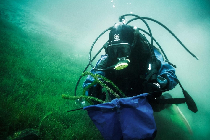
Tuna - identification
There are several ways to tell the three New Zealand eel species apart. -
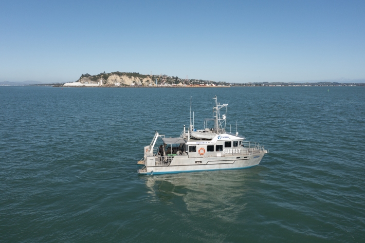
RV Ikatere
FacilityA versatile inshore vessel, RV Ikatere is equipped with high-precision multibeam and sub-bottom profiler transducers for surveying and mapping the seabed. -
Common climate and weather terms
Education ResourceConfused about El Niño, or can't tell the difference between an Anticyclone and an Isobar? Let us help. -
'Eleven-station' series temperature data
Research ProjectTemperature trends from 1930s to present day -
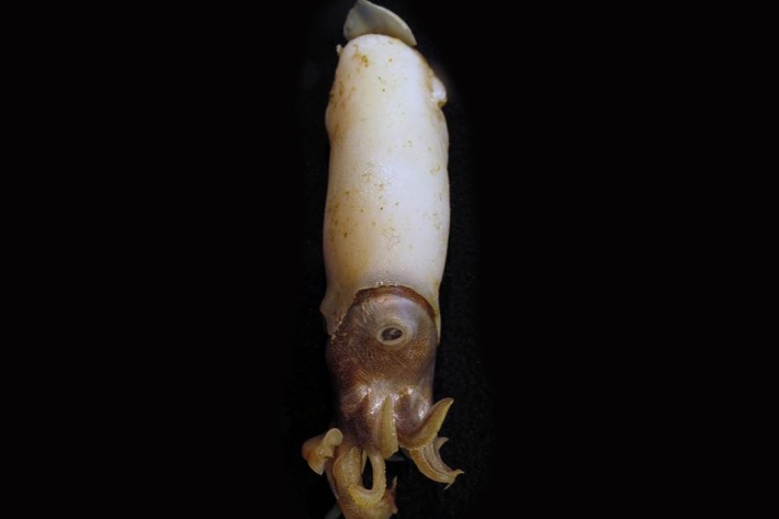
Critter of the week
In this blog series, we feature a new critter from our expansive invertebrate collection including pictures of specimens in their unique habitat. The blogs also feature news, links and fun facts that showcase New Zealand’s fascinating marine fauna. -
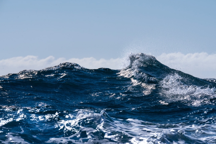
Lesson 9: Ngā Tohu o te Taiao – Māori environmental indicators
Education ResourceThis lesson will explore the use of Māori environmental indicators [tohu] to anticipate local weather and climate conditions. -
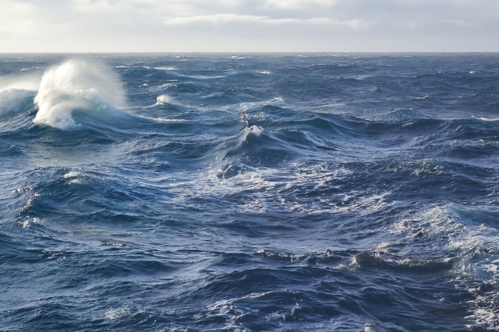
What is ocean acidification?
Education ResourceOcean acidification is the name given to the lowering of pH of the oceans as a result of increasing carbon dioxide (CO2) in the atmosphere. -
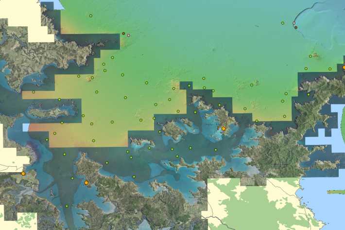
QGIS
QGIS is a free, open source, desktop mapping tool, widely used in New Zealand in government, research, commercial and NGO arenas. -
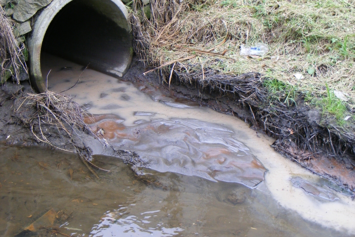
Instream barriers and altered water flow
Instream barriers and diversions alter the natural flow of rivers, streams, and lakes. -

Dry stock farming activities
Dry stock farms can cover large areas of hill-country grassland that may be steep and prone to erosion.