-
Otago
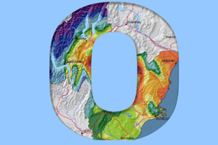
The climate of Otago is perhaps the most diverse of any region in New Zealand. -

Sediment and mining
How can mining activities influence sediments in waterways? -

Climate change, global warming and greenhouse gases
Climate data and common terms explaining the causes and effects of climate change. -

Rain Gauge - OTA OSK15180T
This is the standard precision instrument NIWA uses throughout New Zealand in the National Climate Network, and elsewhere, for rainfall measurement. -

Island Climate Update
Publication seriesA monthly summary of the climate in the tropical South Pacific islands, with an outlook for the coming months. -

Tuna - diet
Longfin eels are the largest and longest-lived fish in New Zealand's freshwaters, and where they are present they are the top predator. -
Carbon dioxide
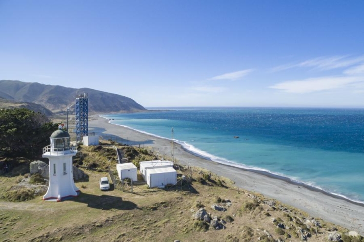
FacilityAtmospheric carbon dioxide (CO2) is measured continuously at Baring Head, providing the longest running record of this type in the Southern hemisphere. -
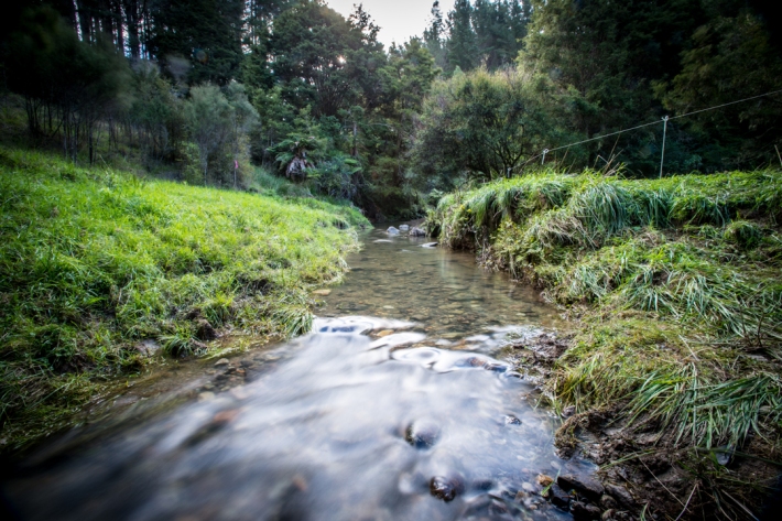
NZ Freshwater Fish Database Help
Learn how to use the New Zealand Freshwater Fish Database (NZFFD) -
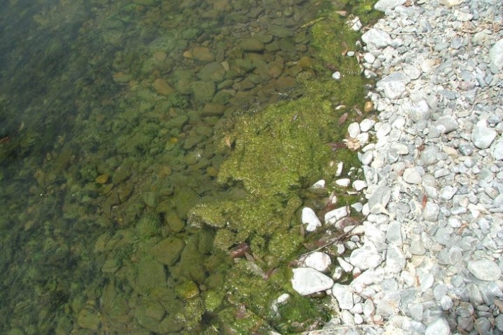
Stream periphyton monitoring manual
This manual prescribes a set of sampling and analysis protocols applicable to most of the common stream habitats in New Zealand.

