-

NIWA Hydro Web Portal
NIWA's Hydro Web Portal provides river flow and water quality monitoring data from NIWA’s Benchmark river monitoring network. -
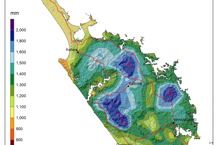
National and regional climate maps
Research ProjectMaps of average annual rainfall, temperature and other climate variables have been produced for all of New Zealand, based on the period 1981–2010. -
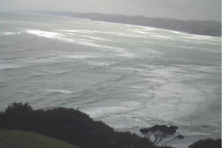
Raglan A
This web camera is available thanks to the support of Waikato Regional Council. -

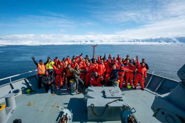
Environmental monitoring
NIWA collects a vast range of environmental information about New Zealand’s environment from the sky to the seafloor. -
Pulp and paper
Wood chips and plant material make pulp that is used to produce paper products. -
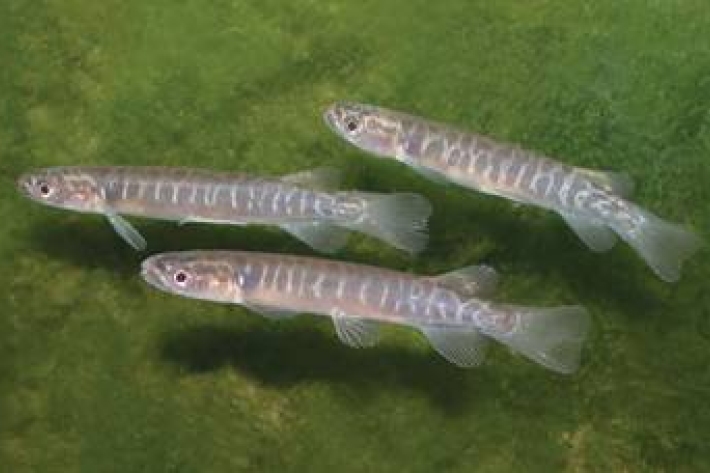
Mahinga kai - what species interests you?
In Kaitiaki Tools the term mahinga kai generally refers to indigenous freshwater species that have traditionally been used as food, tools, or other resources. -
Meteorologist for a day
Within a range of meaningful contexts students will be able to make statements about implications and possible actions consistent with the results of a statistical investigation and to find and authenticate data measures such as mean, median, mode, inter-quartile range, and range. -
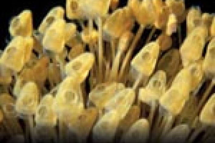
Tuna - glass eels
Glass eels (about 5.5 to 7.0 cm) arrive in fresh water during spring, especially during September and October, although they may be present from July to December.