-
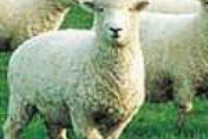
Dry stock
Dry stock farming consists predominantly of pasture grazing beef cattle, sheep, and deer for meat, wool, and velvet production. -

On-Site Household Sanitation Guidelines for Fiji
Research ProjectA participatory project empowering communities with self-help tools to improve water, sanitation and hygiene. -
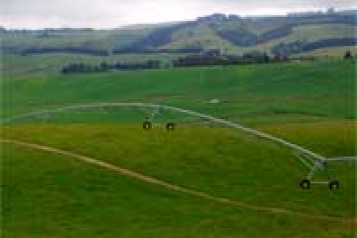
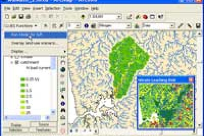
Chemical contamination and agriculture
What are the potential sources of chemical contamination from agricultural activities? -

Kōaro
Kōaro are excellent climbers and like clear, swiftly flowing, forested streams. -
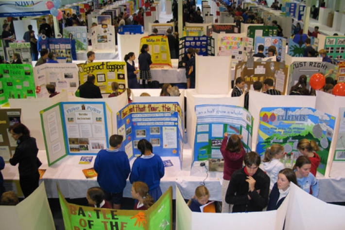
Working with schools
We sponsor regional science and technology fairs around New Zealand and support learning programmes that bring science into the classroom. -
Map I South
Education ResourceThe climate of this zone is largely dependent on the lie of the Southern Alps to the west, but many areas are also sheltered by high country to the south and east. -
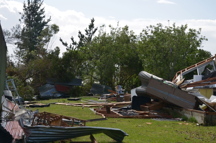
Extreme weather - winds and tornadoes
Education ResourceDue to its position in the 'Roaring Forties', a belt of strong winds in the Southern Hemisphere which generally occur between the latitudes of 40 and 49 degrees, as well as its small size, New Zealand is a windy country. -
Summer Series 7: Beware! The golden triangle of the bronze whaler
News article06 June 2017 -
Summer Series 5: Paua is a summer delicacy. Dig deep for the blackfoot sea snail!
News article06 June 2017