-

On-Site Household Sanitation Guidelines for Fiji
Research ProjectA participatory project empowering communities with self-help tools to improve water, sanitation and hygiene. -
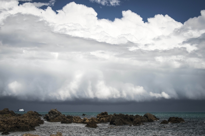
Clouds
Education ResourceCommon questions about clouds, how they are formed and how they behave. -
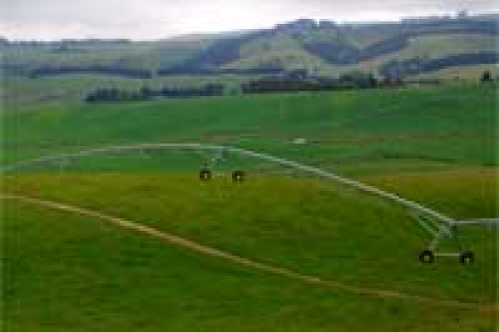
Chemical contamination and agriculture
What are the potential sources of chemical contamination from agricultural activities? -
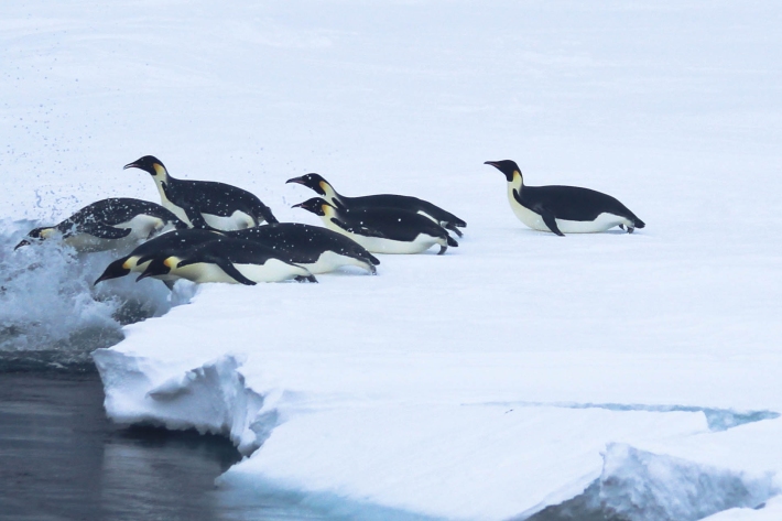
Emperor penguin foraging behaviour revealed
Media release06 June 2017An unavoidable delay in a research ship’s voyage to Antarctica resulted in some surprising and important findings about the behaviour of emperor penguins. -
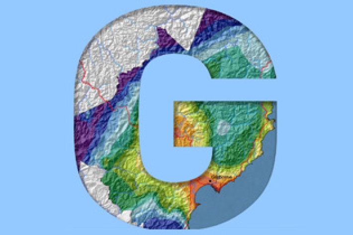
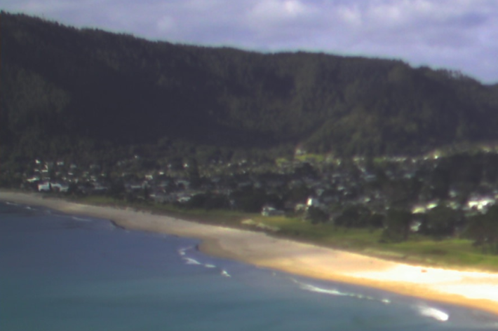
Gisborne
In comparison with regions exposed to the west, Gisborne experiences a greater number of weather and climatic extremes. -

Obtaining climate data from NIWA
NIWA maintains the national climate database for New Zealand, and can supply data in a variety of ways. -
The Intergovernmental Panel on Climate Change (IPCC)
Education ResourceThe Intergovernmental Panel on Climate Change (IPCC) is charged with assessing the most up to date scientific, technical and socio-economic research on climate change. -
Sediment and agriculture
How may agricultural activities increase sediments in waterways? -
Summer Series Week 4: Know your shells
News article06 June 2017If you're collecting sea shells at the beach this summer and wondering what they are, NIWA is here to help.