-
WRIBO’s phoning it in
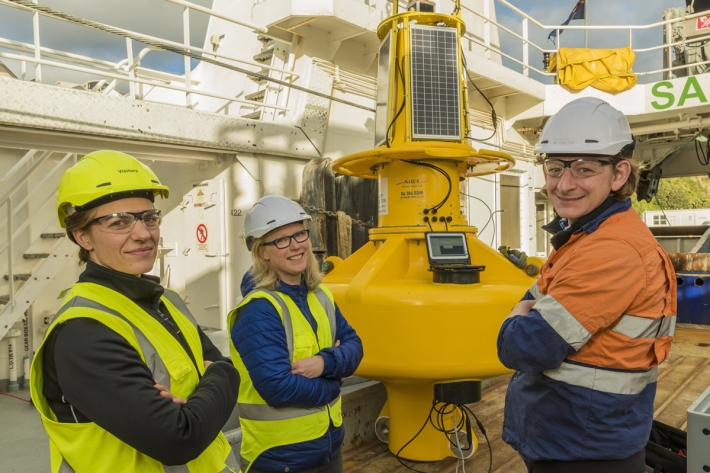
Feature story05 October 2017A sophisticated buoy has been deployed in Wellington Harbour to “phone home” information about currents, waves and water quality in the harbour. -

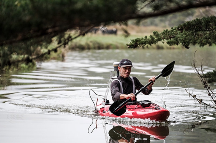
NIWA riparian survey video
NIWA, supported by DairyNZ, are asking anyone who has planted along stream banks to take a short survey. -
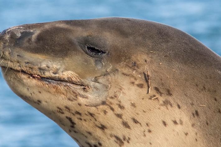
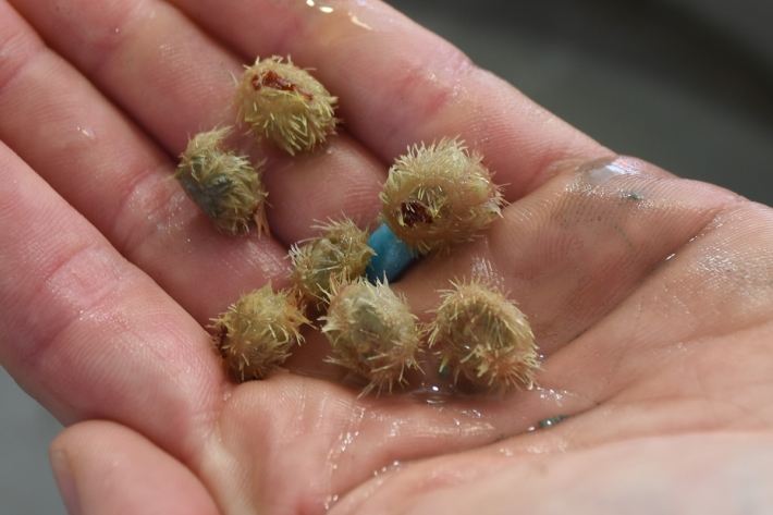
Leopard seal pup’s lungs were failing, CT scan shows
Media release29 September 2017A leopard seal pup born off St Kilda beach, Dunedin, on Tuesday has been found to have only had 10 per cent of normal lung capacity. -
Scientists’ stunning images
Media release27 September 2017From the bottom of the ocean to the top of atmosphere, NIWA staff work in some of the world’s most stunning landscapes. -
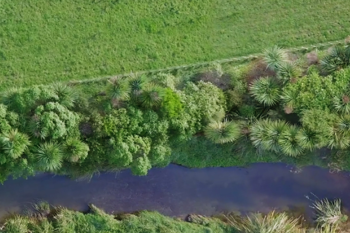
National riparian restoration database project
Research ProjectNIWA is undertaking a five-year nationwide study to find out how different approaches to riparian planting influence water quality improvements and to provide better guidance to the people and groups undertaking stream restoration. -
Kaikōura Canyon shows early signs of ecosystem recovery
Media release19 September 2017NIWA scientists have found signs of recovery in the Kaikōura Canyon seabed, 10 months after powerful submarine landslides triggered by the November earthquake wiped out organisms living in and on the seabed. -

Winners of Wellington Science Fair Announced 15 September 2017
Media release15 September 2017The 2017 NIWA Wellington Regional Science and Technology Fair has again been a resounding success, with more than 550 intermediate and secondary school students taking part. -
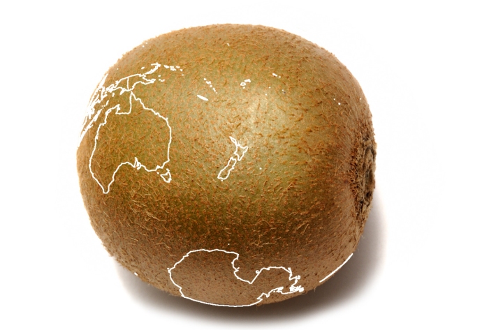
Production of Hayward kiwifruit in Bay of Plenty at risk from climate change
Media release15 September 2017The most commonly grown variety of kiwifruit around Te Puke will not be commercially viable in the area by the end of the century, say scientists. -

What to feed an astronaut and other entries in this year’s Wellington NIWA science fair
Event11 September 2017From designing food for astronauts to the best bait for catching rats, Wellington students are applying their creative talents to scientific endeavour this week. -

Student ingenuity on show at NIWA science fair
Event07 September 2017Science students are putting their ingenuity and analytical skills on the line at this weekend’s annual NIWA Canterbury-Westland Schools’ Science and Technology Fair. -

Concussion conundrum solved by secondary school student
Media release05 September 2017A Year 13 student from Ormiston Senior College in South Auckland has taken out the top prize in this year’s NIWA South and east Auckland Science and Technology Fair. -
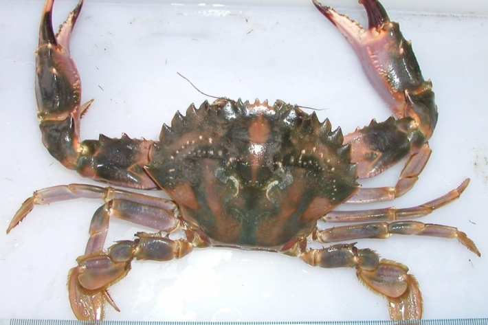
The impact of non-native marine pests on our takutai moana
Research ProjectThis project seeks to understand and better implement a Māori perspective within the current marine biosecurity system in New Zealand.