-

NIWA's Hotspot Watch for 26 October 2017
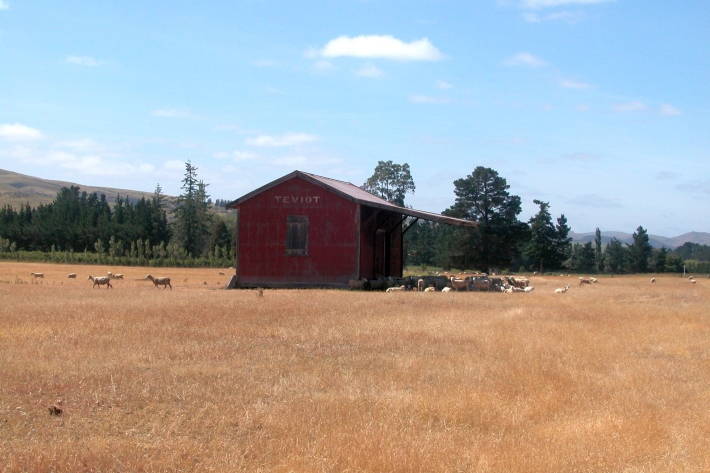
Hotspot26 October 2017A weekly update describing soil moisture across the country to help assess whether severely to extremely dry conditions are occurring or imminent. Across the North Island, soil moisture levels have generally not changed significantly during the past week, while across the South Island, soil moisture levels have generally decreased. -
Southern spring sizzle sets records
Media release20 October 2017An immense dome of high pressure stretched across the Tasman Sea onto the South Island yesterday, bringing the highest temperatures across New Zealand since April. -
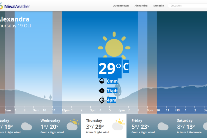
NIWA's Hotspot Watch for 19 October 2017
Hotspot19 October 2017The first weekly update for the 2017-18 summer describing soil moisture across the country to help assess whether severely to extremely dry conditions are occurring or imminent. -
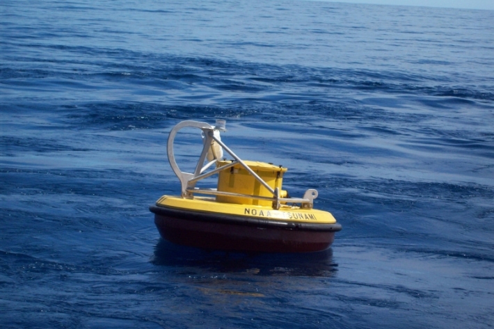
2017 - NOAA tsunami warning station
A tsunami reporting station situated in the Pacific Ocean that is currently off line is to be upgraded in a joint operation involving New Zealand and United States government agencies. -

2017 - Kaikōura coastal zone
NIWA vessel RV Tangaroa visted Kaikōura in September 2017 to investigate the impacts of the earthquake in the coastal zone, which includes effects on rocky reef habitats and communities, pāua fishery and Hector’s dolphins. -

Dramatic sea ice decline limits NIWA’s Antarctic research
Media release18 October 2017A dramatic change in sea ice this year is likely to hamper a NIWA-led research project aiming to better understand how ice shelves will melt as the ocean warms. -
Southern spring sizzle
Media release17 October 2017An air flow extending from Australia on Thursday and Friday may bring near-record warmth to parts of the interior South Island, says NIWA forecaster Ben Noll. A large area of high pressure to the northwest of New Zealand will help steer this warm air across the Tasman Sea. -

Southwest Pacific Tropical Cyclone Outlook update October 2017
Media release10 October 2017Southwest Pacific Tropical Cyclone Outlook: Near-normal season expected, but with increased activity west, reduced activity east -
Proud of your plants? Take the survey
Media release09 October 2017A new online survey is forming the basis of the National Riparian Restoration Database, which will help scientists to improve understanding of how riparian buffers benefit waterways.
Take the survey -

Scientists mark 10th anniversary of ocean acidification research
Media release09 October 2017A decade of scientific research into how ocean acidification is affecting New Zealand waters has led to far greater understanding of the vulnerability of our marine ecosystems, according to a newly published review.