-

Image gallery
A selection of images from the voyage. We will be adding images as they are sent back from the vessel. -

NIWA's Hotspot Watch for 11 January 2018
Hotspot11 January 2018A weekly update describing soil moisture across the country to help assess whether severely to extremely dry conditions are occurring or imminent. Regions experiencing these soil moisture deficits are deemed “hotspots”. Persistent hotspot regions have the potential to develop into drought. -

Partners and funding
The voyage is supported by funding from NIWA, MBIE, the Deep South National Science Challenge and the University of Auckland. -
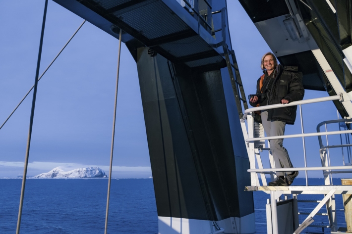
Summer series 2017 - Sailing the Southern Ocean - a scientific odyssey
Media release11 January 2018NIWA’s research vessel Tangaroa sets off for a six-week voyage to Antarctica in February. Six of those aboard explain what they’re doing, what they’re worried about and the one thing they wouldn’t be without. -
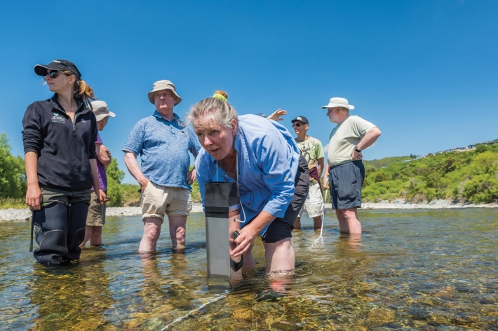
Summer Series 2017 - Citizen scientists take on Hutt River
Feature story08 January 2018A group of volunteers who love the Hutt River are helping to care for it over summer. -
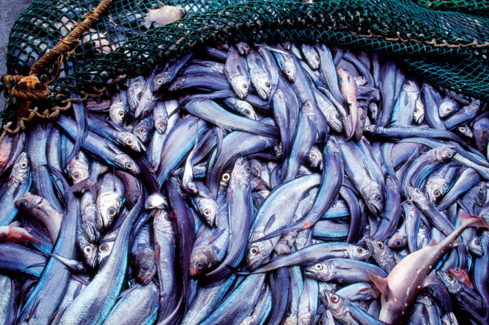
2018 - Chatham Rise hoki survey
VoyageNIWA research ship Tangaroa has been chartered by the Ministry of Primary Industries to survey the Hoki fishery on the Chatham Rise during January and early February 2018. -
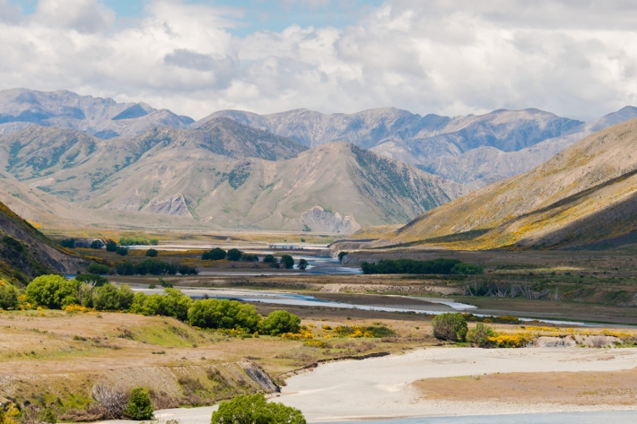
Summer Series 2017 - A day out measuring at Molesworth
Feature story02 January 2018As the road behind Hanmer Springs turns to gravel and a dust cloud forms in the rear vision mirror, the southern edge of Molesworth Station unfolds. -
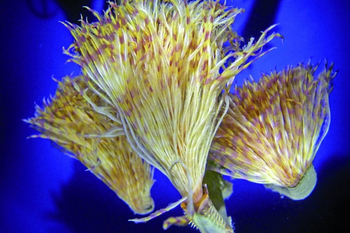
Summer Series 2017 - Look out for these marine pests
Feature story28 December 2017Every year NIWA carries out numerous marine surveillance missions, surveys at ports and harbours around the country. Their divers are looking for the pests that have hitched a ride to New Zealand waters and are capable of destroying our unique ecosystems and shellfish industry. -
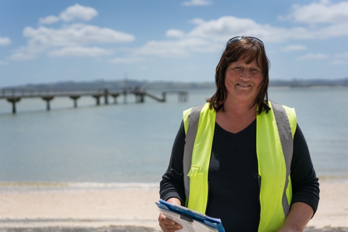
Summer series 2017 - One fish, two fish…we're counting on you
Feature story26 December 2017“You almost become a fishing psychologist – you can tell by the way people walk up the ramp to get their trailer if they’ve had a good day.”